The Fan District in Richmond, Virginia — The American South (Mid-Atlantic)
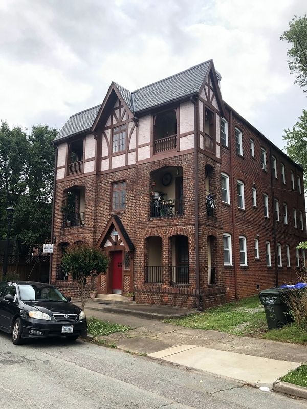
509 North Mulberry Street
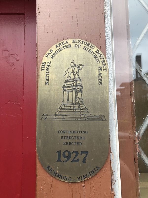
Fan Area Historic District
National Register of Historic Places
Contributing
structure
erected
1927
Richmond • Virginia
Topics. This historical marker is listed in this topic list: Architecture. A significant historical year for this entry is 1927.
Location. 37° 33.494′ N, 77° 28.254′ W. Marker is in Richmond, Virginia. It is in The Fan District. Marker is on North Mulberry Street south of Park Avenue, on the left when traveling south. Touch for map. Marker is at or near this postal address: 509 North Mulberry Street, Richmond VA 23220, United States of America. Touch for directions.
Other nearby markers. At least 8 other markers are within walking distance of this marker. Virginia Historical Society (about 600 feet away, measured in a direct line); Memorial Bell Tower (about 600 feet away); Jefferson Davis (approx. 0.2 miles away); Rumors of War (approx. 0.2 miles away); Robinson House (approx. 0.2 miles away); The Boulevard Historic District (approx. ¼ mile away); Park Lane (approx. ¼ mile away); Arnold’s Picket Driven In (approx. 0.3 miles away). Touch for a list and map of all markers in Richmond.
Also see . . . Fan Area Historic District. Virginia Department of Historical resources website entry (Submitted on August 25, 2023, by Larry Gertner of New York, New York.)
Credits. This page was last revised on August 25, 2023. It was originally submitted on May 13, 2019, by Devry Becker Jones of Washington, District of Columbia. This page has been viewed 185 times since then and 14 times this year. Photos: 1, 2. submitted on May 13, 2019, by Devry Becker Jones of Washington, District of Columbia.

