Near Redwood in Warren County, Mississippi — The American South (East South Central)
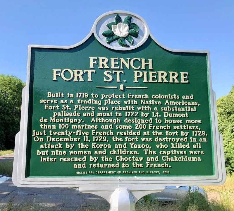
French Fort St. Pierre
Erected 2018 by the Mississippi Department of Archives and History.
Topics and series. This historical marker is listed in these topic lists: Forts and Castles • Native Americans. In addition, it is included in the Mississippi State Historical Marker Program series list. A significant historical date for this entry is December 11, 1729.
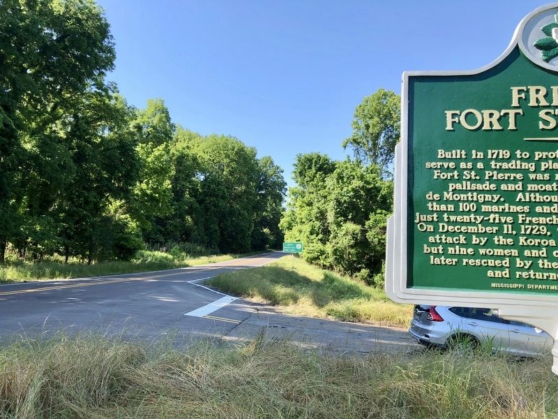
Location. 32° 29.687′ N, 90° 47.93′ W. Marker is near Redwood, Mississippi, in Warren County. Marker is on Mississippi Route 3, 0.6 miles south of Mary Hearn Road, on the right when traveling south. Touch for map. Marker is in this post office area: Redwood MS 39156, United States of America. Touch for directions.
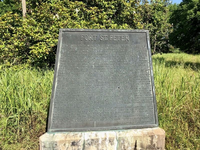
Other nearby markers. At least 8 other markers are within 8 miles of this marker, measured as the crow flies. Fort St. Peter (a few steps from this marker); Fort Snyder (a few steps from this marker); Snyder's Bluff (about 600 feet away, measured in a direct line); Haynes Bluff Mound (approx. 2.3 miles away); Steele's Bayou Expedition (approx. 6 miles away); Vick Graves (approx. 6.4 miles away); Chickasaw Bayou Battle (approx. 6.8 miles away); Kings School (approx. 7.9 miles away). Touch for a list and map of all markers in Redwood.
Regarding French Fort St. Pierre. A French post established in 1719 by four missionary priests from the Seminary of Quebec. Located on present day Snyder's Bluff in Warren County, Mississippi. Their leader was the Reverend Francis de Montigny. The fort and the farms established by the settlers expanded until there were a total of 16 farms associated with the post.
The post was abandoned in 1729 after all but four of the inhabitants were massacred by Yazoo Indians on 31 Dec 1729. Also known as Fort San Pierre, Fort St. Pierre des Yazous, Fort St. Claude. U.S. Civil War Confederate Fort Snyder was built on the site in 1862.
Also see . . . Wikipedia entry on Fort St. Pierre. (Submitted on May 16, 2019, by Mark Hilton of Montgomery, Alabama.)

Photographed By Mark Hilton, May 15, 2019
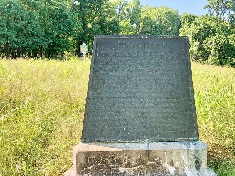
4. During the Civil War, Fort Snyder (1862-1865) was later built here.
Fort Snyder was a Confederate earthworks fortification established in 1862 as a part of the defenses of Vicksburg. This fort was built on the site of the previous fortification, Fort St. Peter, at Snyder's Bluff overlooking the Yazoo River. Captured by Union forces in 1863, it was abandoned at the end of the Civil War in 1865.
Credits. This page was last revised on June 4, 2020. It was originally submitted on May 16, 2019, by Mark Hilton of Montgomery, Alabama. This page has been viewed 744 times since then and 126 times this year. Photos: 1, 2, 3, 4. submitted on May 16, 2019, by Mark Hilton of Montgomery, Alabama.


