Franklin Township near Weissport in Carbon County, Pennsylvania — The American Northeast (Mid-Atlantic)
The Hub in it's Heyday
1829-1942
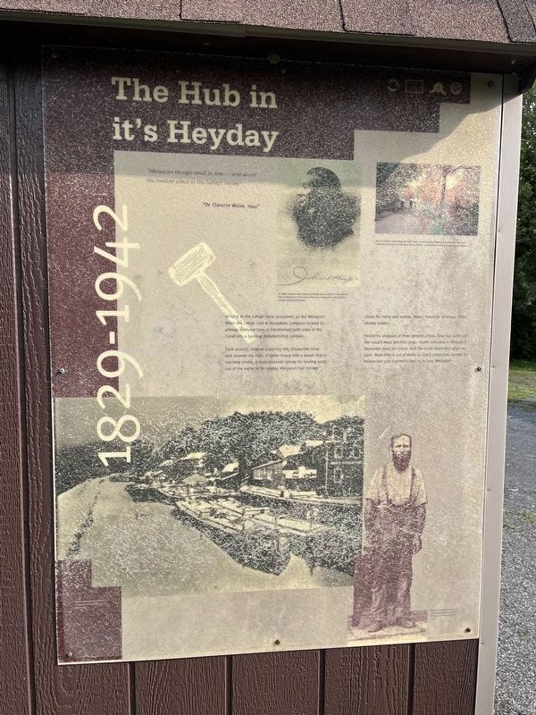
As long as the Lehigh Canal prospered, so did Weissport. When the Lehigh Coal and Navigation Company located its primary boatyard here, it transformed both sides of the Canal into a bustling manufacturing complex.
Look around…imagine a planning mill, blacksmith shop and covered dry dock. A boiler house with a steam engine belching smoke. A mule-powered railway for hauling boats out of the water in its heyday. Weissport had storage sheds for metal and lumber. Mules, hundreds of mules, filled nearby stables.
Residents shopped at three general stores. Two coal yards sold the Canal’s most plentiful cargo. Nearby everyone in Weissport depended upon the Canal. And the Canal depended upon the town. More than 8 out of every 10 Canal employees (except for locktenders and boatmen) lived in or near Weissport.
“Weissport though small in size…was about the liveliest place in the Lehigh Valley”
“Dr. Clarence Weiss, 1942”
Erected by Delaware & Lehigh National Heritage Corridor.
Topics and series. This historical marker is listed in these topic lists: Industry & Commerce • Waterways & Vessels. In addition, it
this page online
Location. 40° 49.888′ N, 75° 42.043′ W. Marker is near Weissport, Pennsylvania, in Carbon County. It is in Franklin Township. It is on D&L Trail - Lehigh Canal (North) 0.1 miles north of Bridge Street, on the left when traveling north. The marker is located in Weissport Lehigh Canal Park. Touch for map. Marker is at or near this postal address: 103 Canal St, Lehighton PA 18235, United States of America. Touch for directions.

Regionally, this marker is in Anthracite Coal Region and in the Pocono Mountains. It is also in the American Northeast, in the Mid-Atlantic, in Appalachia, and specifically in Northern Appalachia. Globally, it is in North America, the Western Hemisphere, the Western World, and the Anglosphere. Historically, it finds itself in what was once the Haudenosaunee (Iroquois) Confederacy and also one of the original Thirteen Colonies.
Other nearby markers. At least 8 other markers are within walking distance of this marker: Exploring the Corridor (a few steps from this marker); Weissport & Nearby Heritage Attractions
Photographed by Don Morfe, August 2, 2015
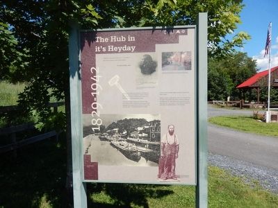
2. The Hub in it’s Heyday Marker
This is a photo of the marker in its former location.
Additional commentary.
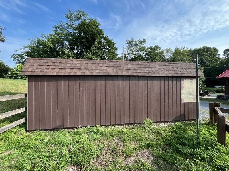
1. Apostrophe in the title
The apostrophe in it's has been taken verbatim from the marker.
— Submitted July 23, 2024, by Devry Becker Jones of Washington, District of Columbia.
Photographed by Don Morfe, August 2, 2015
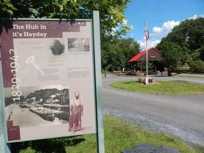
4. The Hub in it’s Heyday Marker with the Pavilion in the background
This is a photo of the marker in its former location.
Photographed by Don Morfe, August 2, 2015
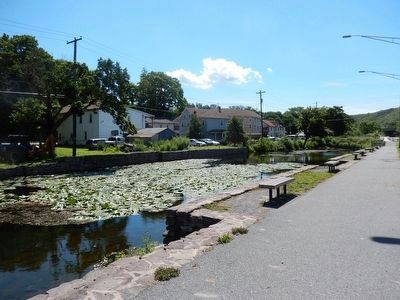
5. Lehigh Canal
Photographed by Don Morfe, August 2, 2015
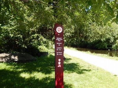
6. Weissport Lehigh Canal Park-sign at the entrance
Credits. This page was last revised on July 23, 2024. It was originally submitted on August 9, 2015, by Don Morfe of Baltimore, Maryland. This page has been viewed 503 times since then and 20 times this year. Last updated on May 16, 2019, by Laura Klotz of Northampton, Pennsylvania. Photos: 1. submitted on July 23, 2024, by Devry Becker Jones of Washington, District of Columbia. 2. submitted on August 9, 2015, by Don Morfe of Baltimore, Maryland. 3. submitted on July 23, 2024, by Devry Becker Jones of Washington, District of Columbia. 4, 5, 6. submitted on August 9, 2015, by Don Morfe of Baltimore, Maryland. • Andrew Ruppenstein was the editor who published this page.
