Woburn in Middlesex County, Massachusetts — The American Northeast (New England)
Old Middlesex Canal
Horn Pond Locks
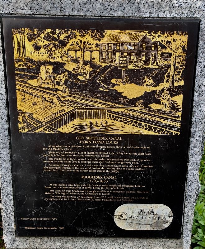
Along what is now Arlington Road were formerly located three sets of double locks on the Old Middlesex Canal.
These sets of 80 foot by 11 foot chambers effected a rise of fifty feet for the canal boats and rafts from Boston on their way northward to Lowell.
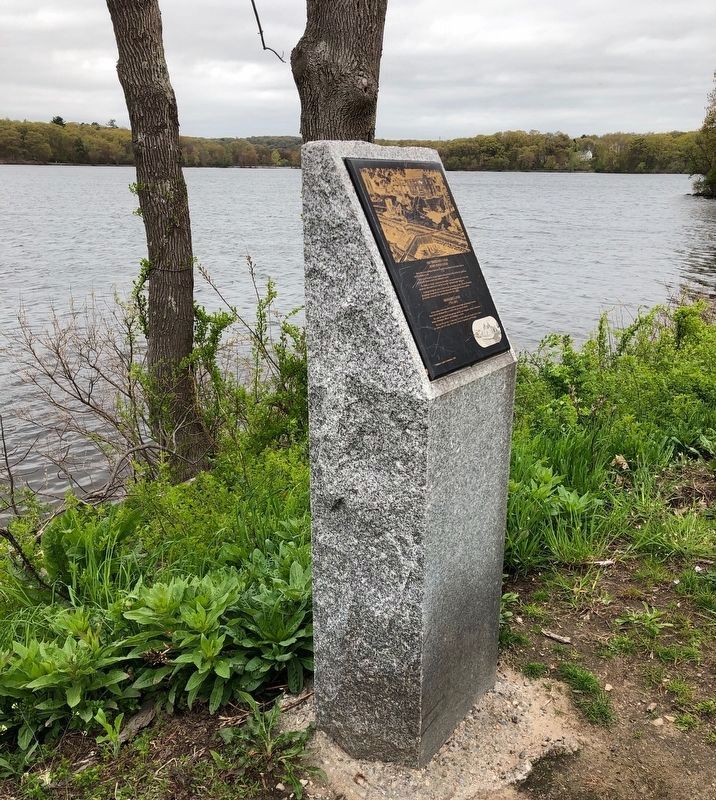
The middle set of locks, located near this marker, was separated from each of the other two sets by wide basins used to refill the locks after “locking through” took place.
As passage through the series of locks was time consuming, an eager clientele of boatman and passengers frequented the four canal taverns, the bowling alleys and dance pavilion located here. It was one of the earliest resort areas in the country.
Middlesex Canal
1793 - 1853
At this location canal boats pulled by horses carried freight and passengers between Boston and the Merrimack River at Lowell before the days of railroads.
The canal ran from Charlestown through what is now Somerville, Medford, Winchester, Woburn, Wilmington, Billerica, and Chelmsford to Lowell.
The canal was just over 27 miles long. It was 20 ft. wide at the bottom, 30 1/2 ft. wide at the surface, and 3 1/2 deep. There were 20 locks, 8 aqueducts, and 50 bridges.
Erected 1986 by Middlesex Canal Commission.
Topics. This historical marker is listed in these topic lists: Industry & Commerce • Waterways & Vessels. A significant historical year for this entry is 1793.
Location. 42° 28.216′ N, 71° 9.244′ W. Marker is in Woburn, Massachusetts, in Middlesex County. Marker is at the intersection of Arlington Road and Hudson Street, on the right when traveling south on Arlington Road. Touch for map. Marker is at or near this postal address: 82 Arlington Road, Woburn MA 01801, United States of America. Touch for directions.
Other nearby markers. At least 8 other markers are within 4 miles of this marker, measured as the crow flies. Woburn (approx. 0.7 miles away); John Harvard's Land (approx. 1˝ miles away); Converse Bridge (approx. 1˝ miles away); Site of First House (approx. 1.6 miles away); The Symmes Farm (approx. 2.1 miles away); The Foot of the Rocks (approx. 3.4 miles away); a different marker also named The Foot of the Rocks (approx. 3.4 miles away); Molyneaux Circle (approx. 3.7 miles away).
Also see . . .
1. Middlesex Canal. (Submitted on May 17, 2019, by Alan M. Perrie of Unionville, Connecticut.)
2. Middlesex Canal Association. (Submitted on May 17, 2019, by Alan M. Perrie of Unionville, Connecticut.)
3. Middlesex Canal. (Submitted on May 17, 2019, by Alan M. Perrie of Unionville, Connecticut.)
Credits. This page was last revised on October 8, 2020. It was originally submitted on May 17, 2019, by Alan M. Perrie of Unionville, Connecticut. This page has been viewed 410 times since then and 53 times this year. Photos: 1, 2. submitted on May 17, 2019, by Alan M. Perrie of Unionville, Connecticut. • Andrew Ruppenstein was the editor who published this page.

