Taylor Run in Alexandria, Virginia — The American South (Mid-Atlantic)
Fort Ellsworth
Historical Site
| — | Defenses of Washington 1861 - 1865 | — |
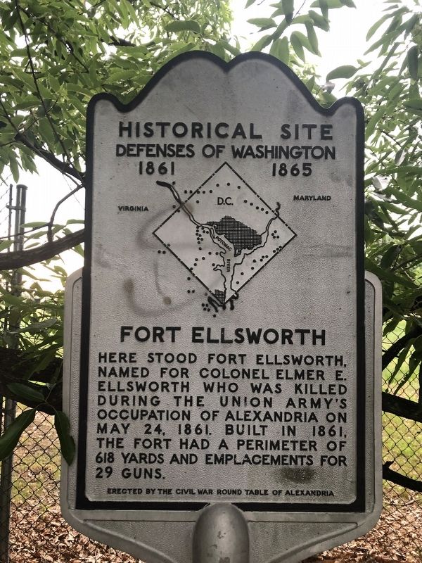
Erected by The Civil War Round Table of Alexandria.
Topics. This historical marker is listed in these topic lists: Forts and Castles • War, US Civil. A significant historical date for this entry is May 24, 1861.
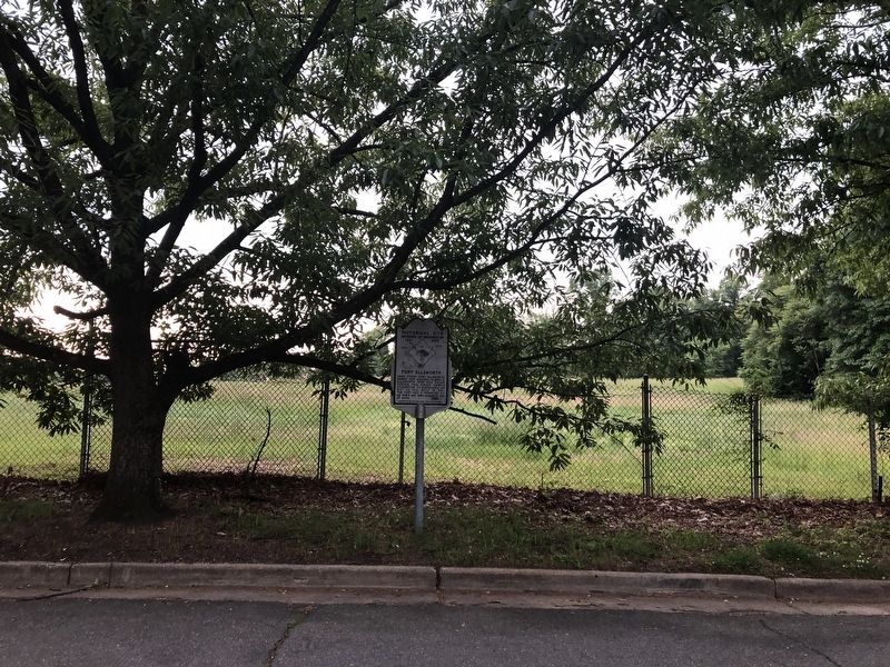
Location. 38° 48.556′ N, 77° 4.196′ W. Marker has been reported damaged. Marker is in Alexandria, Virginia. It is in Taylor Run. It is on Upland Place west of Hilltop Terrace, on the right when traveling west. Touch for map. Marker is at or near this postal address: 701 Upland Place, Alexandria VA 22314, United States of America. Touch for directions.

Regionally, this marker is in the Washington Metropolitan Area and in Northern Virginia. It is also in the American South, specifically in the Upper South, in the Mid-Atlantic, and on the Eastern Seaboard. Globally, it is in the North Atlantic Region, North America, the Western Hemisphere, the Western World, and the Anglosphere.
this page online
Other nearby markers. At least 8 other markers are within walking distance of this location: A different marker also named Fort Ellsworth (about 600 feet away, measured in a direct line); George Washington Masonic National Memorial (approx. ¼ mile away); Grand Lodge of the State of New Hampshire, F. & A.M. (approx. ¼ mile away); Emblem of Freemasonry / Groundbreaking (approx. 0.3 miles away); a different marker also named The George Washington Masonic National Memorial (approx. 0.4 miles away); The Bloxham Cemetery: Portal to the Past (approx. 0.4 miles away); Fighting Back (approx. 0.4 miles away); The Bloxham Family Cemetery (approx. 0.4 miles away). Touch for a list and map of all markers in Alexandria.
Another marker is no longer nearby. Panoramic View of Alexandria (was approx. 0.3 miles away but has been replaced with another marker now near it).
More about this marker. Marker has been defaced.
National Archives
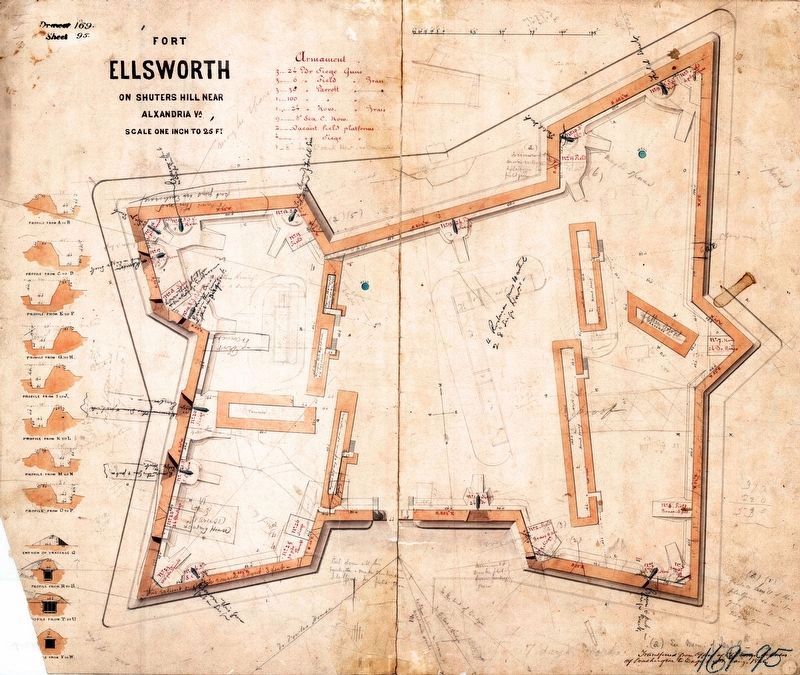
3. Fort Ellsworth
on Shuters Hill near Alexandria, Virginia
on Shuters Hill near Alexandria, Virginia
National Archives, NAID: 117886599, Drawer 169, Sheet 095, Maps and Charts.
Internet Archive
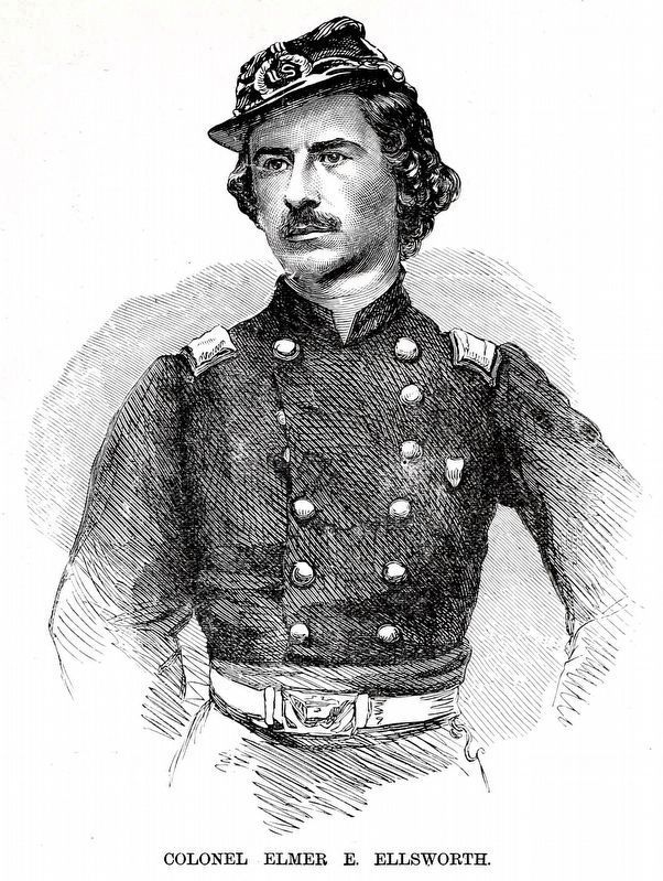
4. Colonel Elmer E. Ellsworth
From Frank Leslie's Scenes and Portraits of the Civil War... by Frank Leslie, 1894, page 23.
Credits. This page was last revised on March 23, 2024. It was originally submitted on May 18, 2019, by Devry Becker Jones of Washington, District of Columbia. This page has been viewed 696 times since then and 50 times this year. Photos: 1, 2. submitted on May 18, 2019, by Devry Becker Jones of Washington, District of Columbia. 3, 4. submitted on March 23, 2024, by Allen C. Browne of Silver Spring, Maryland.
