
South Baton Rouge in East Baton Rouge Parish, Louisiana — The American South (West South Central)
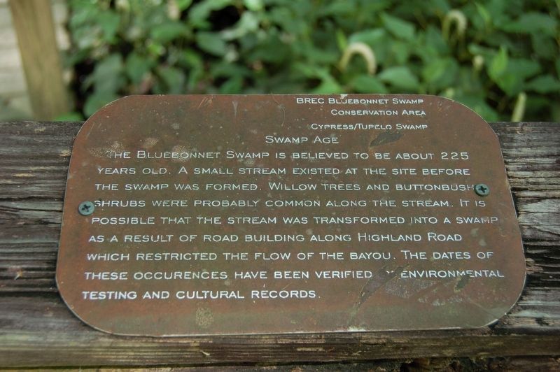
Swamp Age
Cypress-Tupelo Swamp
Photographed by Cajun Scrambler, May 16, 2019
1. Swamp Age Marker
The Bluebonnet Swamp is believed to be about 225 years old. A small stream existed at the site before the swamp was formed. Willow trees and Buttonbrush shrubs were probably common along the stream. It is possible that the stream was transformed into a swamp as a result of road building along Highland Road which restricted the flow of the bayou. The dates these occurrences have been verified by environmental testing and cultural records.
Erected by BREC Bluebonnet Swamp Conservation Area.
Topics. This historical marker is listed in this topic list: Environment.
Location. 30° 22.085′ N, 91° 6.402′ W. Marker is in Baton Rouge, Louisiana, in East Baton Rouge Parish. It is in South Baton Rouge. It can be reached from North Oak Hills Parkway near Bluebonnet Boulevard. Touch for map. Marker is at or near this postal address: 10503 North Oak Hills Parkway, Baton Rouge LA 70810, United States of America. Touch for directions.

Regionally, this marker is in Louisiana’s Florida Parishes. It is also in the American South, specifically in the Deep South, and in the
this page online
Other nearby markers. At least 8 other markers are within 3 miles of this marker, measured as the crow flies: Bluebonnet Swamp (approx. 0.2 miles away); BREC's Bluebonnet Swamp Nature Center (approx. 0.2 miles away); Upland Hardwoods (approx. 0.2 miles away); Dutch Highlands (approx. 0.7 miles away); William Bartram Trail (approx. 1.1 miles away); Bayou Fountain (approx. 2.2 miles away); a different marker also named William Bartram Trail (approx. 2.8 miles away); Germain Bergeron House (approx. 2.9 miles away). Touch for a list and map of all markers in Baton Rouge.
More about this marker. Marker can only be accessed by walking the "Library Trail" walkwway.
Photographed by Cajun Scrambler, May 16, 2019
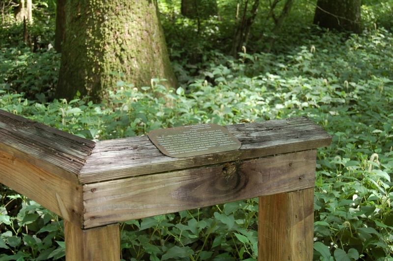
2. Swamp Age Marker
May 16, 2019
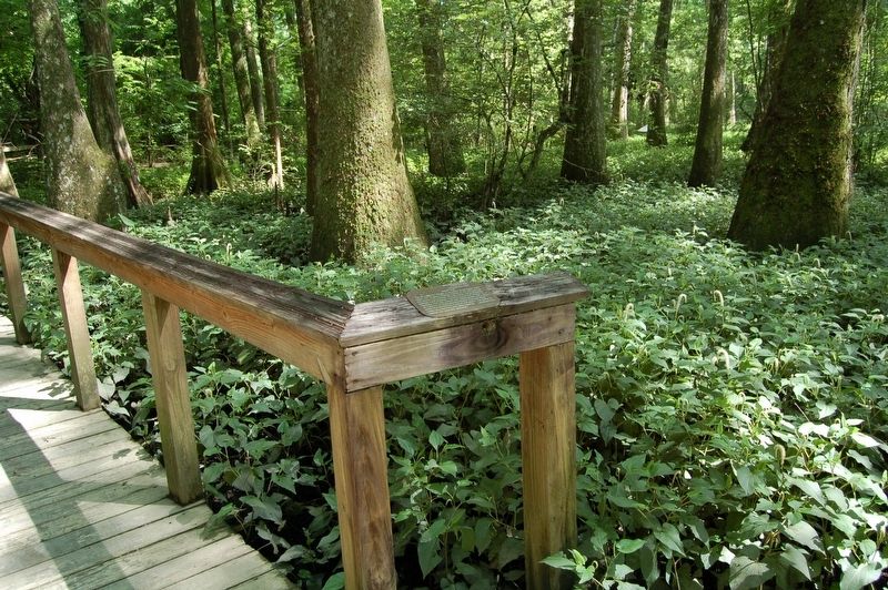
3. Swamp Age Marker
Credits. This page was last revised on May 28, 2023. It was originally submitted on May 19, 2019, by Cajun Scrambler of Assumption, Louisiana. This page has been viewed 502 times since then and 26 times this year. Photos: 1, 2, 3. submitted on May 19, 2019.
