Martinsburg in Berkeley County, West Virginia — The American South (Appalachia)
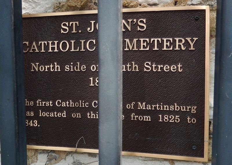
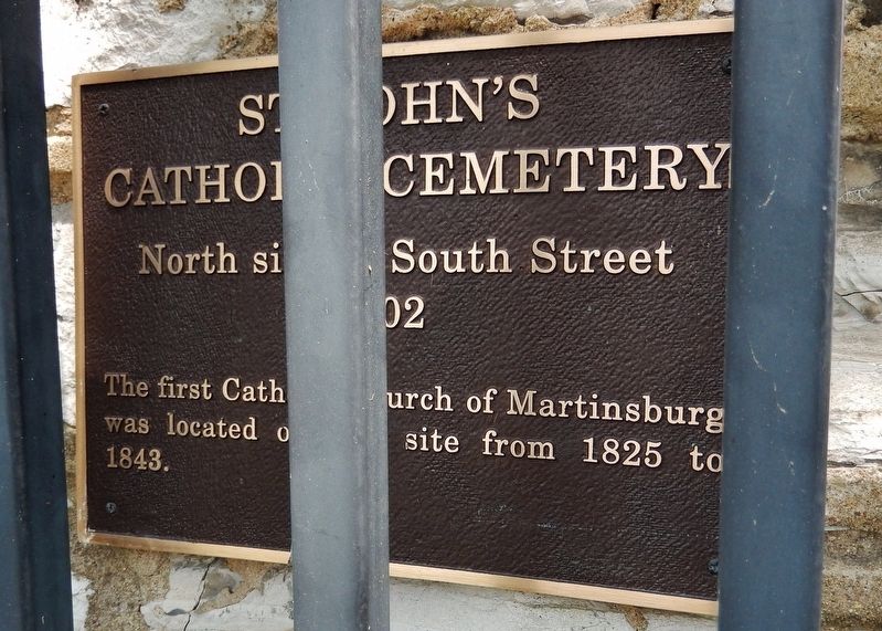
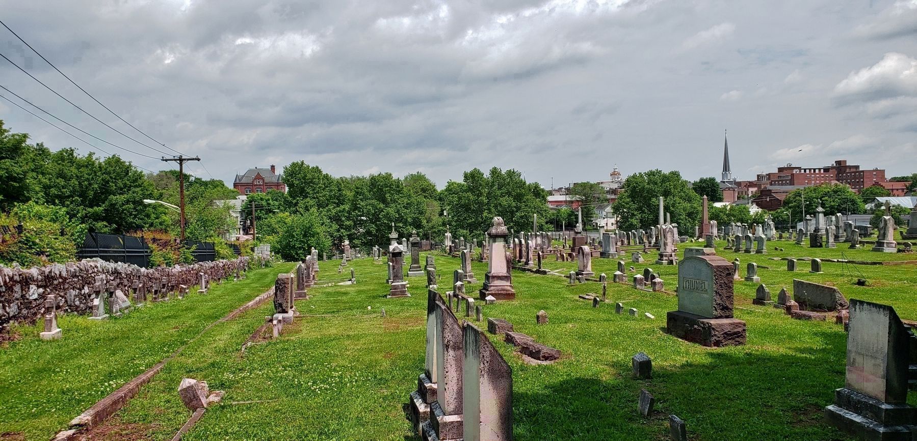
St. John's Catholic Cemetery
North side of South Street
— 1802 —
Topics and series. This historical marker is listed in these topic lists: Cemeteries & Burial Sites • Churches & Religion. In addition, it is included in the West Virginia, Martinsburg Historic Properties series list. A significant historical year for this entry is 1802.
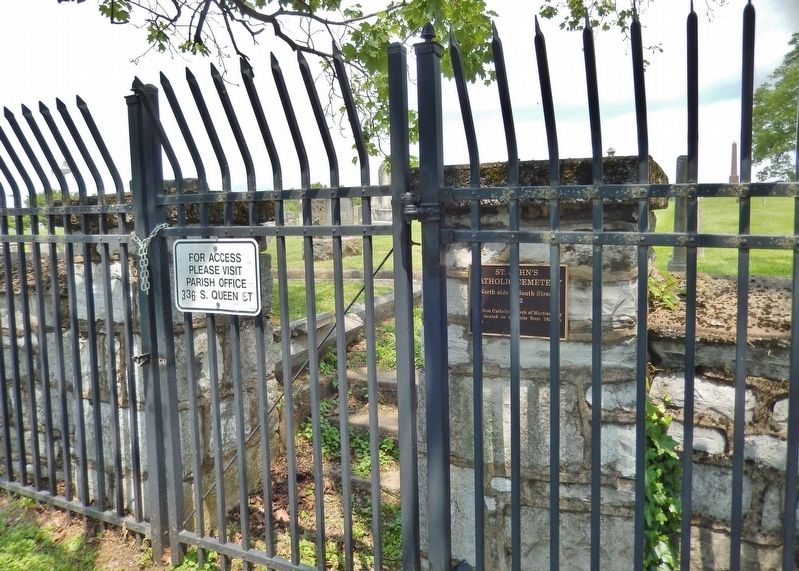
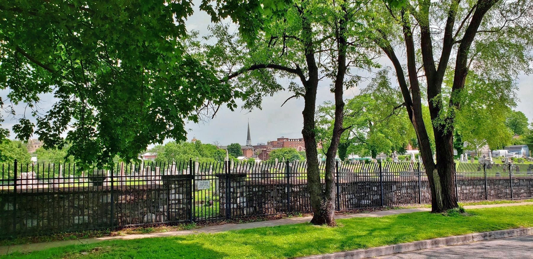
Location. 39° 27.174′ N, 77° 57.993′ W. Marker is in Martinsburg, West Virginia, in Berkeley County. Marker is on West South Street, 0.1 miles west of South Queen Street, on the right when traveling west. Marker is mounted at waist-level on the stone gate post at a cemetery entrance on West South Street. Touch for map. Marker is in this post office area: Martinsburg WV 25401, United States of America. Touch for directions.
Other nearby markers. At least 8 other markers are within walking distance of this marker. Norbourne Parish Cemetery (within shouting distance of this marker); Site of Belle Boyd Home (about 400 feet away, measured in a direct line); Old High School (about 500 feet away); Boydville (about 700 feet away); Charles Faulkner (approx. 0.2 miles away); Old Worsted and Cassimere Mills (approx. 0.2 miles away); Old Berkeley County Jail (approx. 0.2 miles away); St. Joseph's Catholic Church (approx. 0.2 miles away). Touch for a list and map of all markers in Martinsburg.
More about this marker. The original stone fence surrounding the cemetery has been augmented with an adjacent wrought-iron fence around the perimeter, which makes it difficult to photograph this marker.
Credits. This page was last revised on May 19, 2019. It was originally submitted on May 19, 2019, by Cosmos Mariner of Cape Canaveral, Florida. This page has been viewed 297 times since then and 20 times this year. Photos: 1, 2, 3, 4, 5. submitted on May 19, 2019, by Cosmos Mariner of Cape Canaveral, Florida.
