Marker Logo HMdb.org THE HISTORICAL
MARKER DATABASE
“Bite-Size Bits of Local, National, and Global History”
Pikeside in Berkeley County, West Virginia — The American South (Appalachia)
 

Pack Horse Road


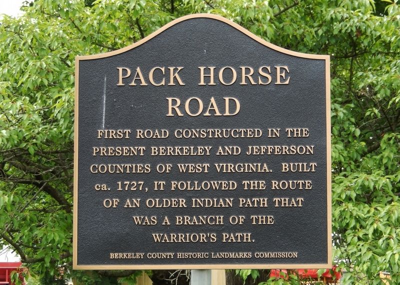
Pack Horse Road Marker image. Click for full size.
Photographed By Cosmos Mariner, May 18, 2019
1. Pack Horse Road Marker
Inscription. First road constructed in the present Berkeley and Jefferson Counties of West Virginia. Built ca. 1727, it followed the route of an older Indian path that was a branch of the Warrior’s Path.
 
Erected by Berkeley County Historic Landmarks Commission.
 
Topics. This historical marker is listed in these topic lists: Colonial EraRoads & Vehicles. A significant historical year for this entry is 1727.
 
Location. 39° 25.121′ N, 77° 59.339′ W. Marker is in Pikeside, West Virginia, in Berkeley County. Marker is at the intersection of Winchester Avenue (U.S. 11) and Packhorse Ford Road, on the right when traveling south on Winchester Avenue. Marker is located at the southwest corner of the intersection, on the south side of Packhorse Ford Road. Touch for map. Marker is in this post office area: Martinsburg WV 25405, United States of America. Touch for directions.
 
Other nearby markers. At least 8 other markers are within 3 miles of this marker, measured as the crow flies. Fort Evans (approx. 0.6 miles away); Continental Clay Brick Works (approx. 2.1 miles away); Major General Adam Stephen (approx. 2˝ miles away); Charles Faulkner (approx. 2˝ miles away); Boydville (approx. 2.6 miles away); Norbourne Parish Cemetery (approx. 2.6 miles away); Old Berkeley County Jail (approx. 2.6 miles away); Site of Belle Boyd Home (approx. 2.6 miles away).
Paid Advertisement
Click on the ad for more information.
Please report objectionable advertising to the Editor.
Click or scan to see
this page online
 
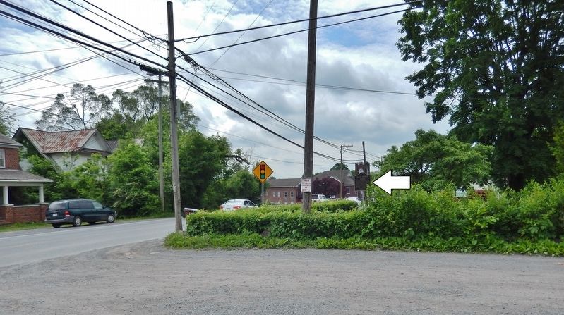
Pack Horse Road Marker (<i>wide view looking south along US Highway 11 • marker on right</i>) image. Click for full size.
Photographed By Cosmos Mariner, May 18, 2019
2. Pack Horse Road Marker (wide view looking south along US Highway 11 • marker on right)
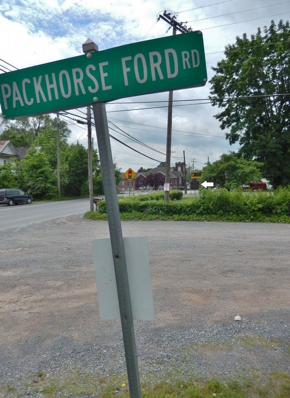
Packhorse Ford Road sign (<i>marker visible in background, across road, on right</i>) image. Click for full size.
Photographed By Cosmos Mariner, May 18, 2019
3. Packhorse Ford Road sign (marker visible in background, across road, on right)
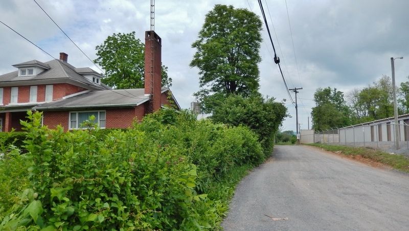
Packhorse Ford Road (<i>view looking west from marker</i>) image. Click for full size.
Photographed By Cosmos Mariner, May 18, 2019
4. Packhorse Ford Road (view looking west from marker)
 
 
Credits. This page was last revised on October 10, 2020. It was originally submitted on May 20, 2019, by Cosmos Mariner of Cape Canaveral, Florida. This page has been viewed 523 times since then and 50 times this year. Photos:   1, 2, 3, 4. submitted on May 20, 2019, by Cosmos Mariner of Cape Canaveral, Florida.
Share this page.  
Share on Tumblr
m=134052

CeraNet Cloud Computing sponsors the Historical Marker Database.
This website earns income from purchases you make after using our links to Amazon.com. We appreciate your support.
Paid Advertisement
Apr. 26, 2024