Near Tybee Island in Chatham County, Georgia — The American South (South Atlantic)
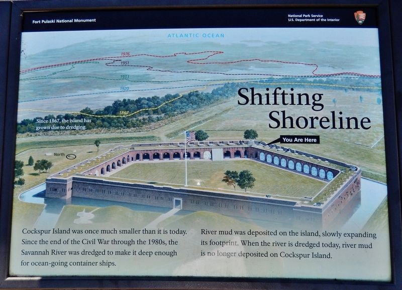
Shifting Shoreline
Fort Pulaski National Monument
Cockspur Island was once much smaller than it is today. Since the end of the Civil War through the 1980s, the Savannah River was dredged to make it deep enough for ocean-going container ships.
River mud was deposited on the island, slowly expanding its footprint. When the river is dredged today, river mud is no longer deposited on Cockspur Island.
Erected by National Park Service, U.S. Department of the Interior.
Topics. This historical marker is listed in these topic lists: Forts and Castles • Waterways & Vessels. A significant historical year for this entry is 1867.
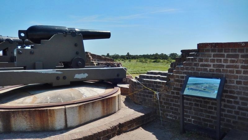
Location. 32° 1.616′ N, 80° 53.38′ W. Marker is near Tybee Island, Georgia, in Chatham County. Marker can be reached from Fort Pulaski Road, one mile north of U.S. 80. Marker is located at Fort Pulaski National Monument, atop the rampart at the east apex of the fort. Touch for map. Marker is in this post office area: Tybee Island GA 31328, United States of America. Touch for directions.
Other nearby markers. At least 8 other markers are within walking distance of this marker. Brooke Rifle (a few steps from this marker); Prepared for Battle (a few steps from this marker); 4.5 Inch Blakely Rifle (a few steps from this marker); The Breached Wall (within shouting distance of this marker); Through the Thick Brick Wall (within shouting distance of this marker); A Devastating Bombardment (within shouting distance of this marker); Federal Siege Batteries (within shouting distance of this marker); Red-hot Shot (within shouting distance of this marker). Touch for a list and map of all markers in Tybee Island.
Credits. This page was last revised on May 23, 2019. It was originally submitted on May 21, 2019, by Cosmos Mariner of Cape Canaveral, Florida. This page has been viewed 204 times since then and 27 times this year. Photos: 1, 2. submitted on May 22, 2019, by Cosmos Mariner of Cape Canaveral, Florida.

