Olmsted Falls in Cuyahoga County, Ohio — The American Midwest (Great Lakes)
Chestnut Grove Cemetery
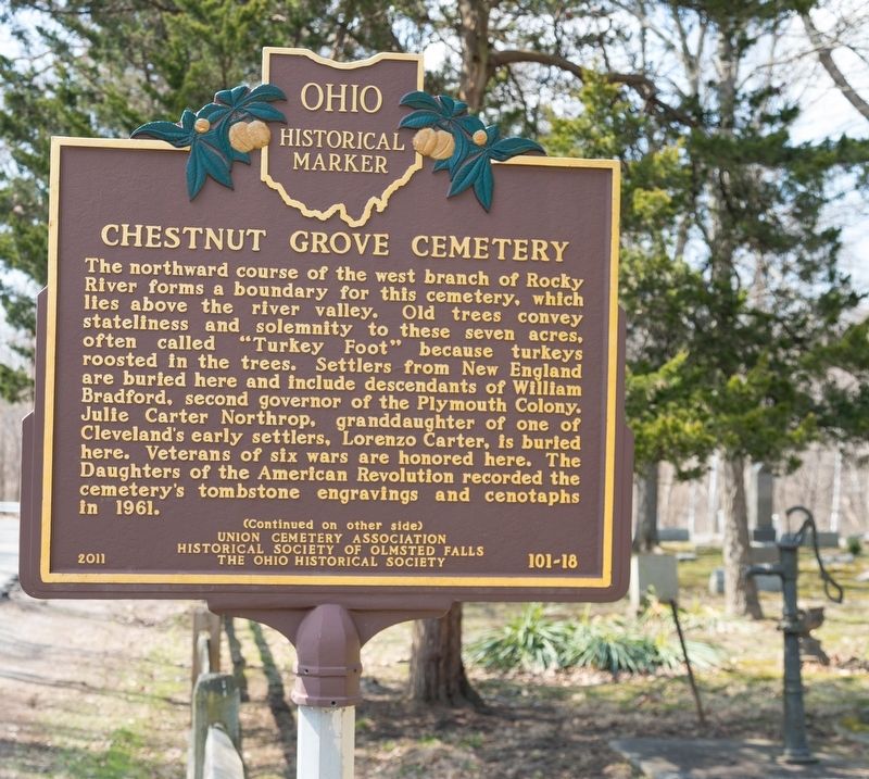
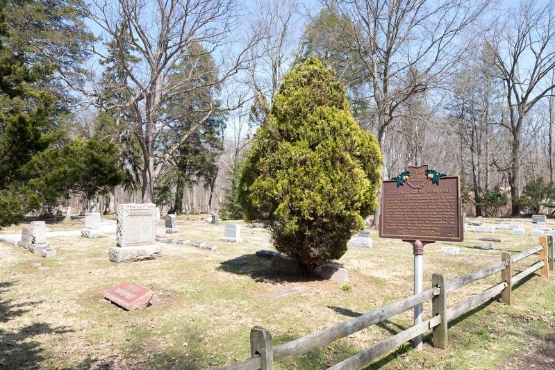
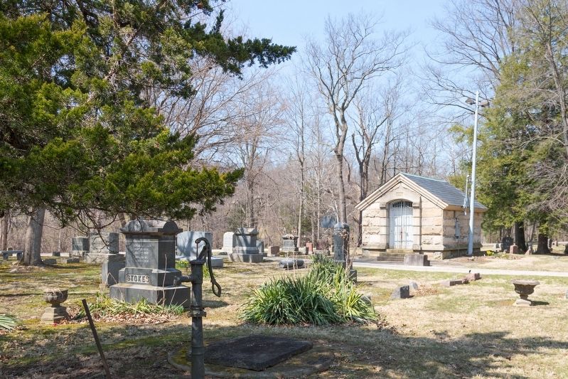
The northward course of the west branch of Rocky River forms a boundary for this cemetery, which lies above the river valley. Old trees convey stateliness and solemnity to these seven acres, often called “Turkey Foot” because turkeys roosted in the trees. Settlers from New England are buried here and include descendants of William Bradford, second governor of the Plymouth Colony. Julie Carter Northrop, granddaughter of one of Cleveland’s early settlers, Lorenzo Carter, is buried here. Veterans of six wars are honored here. The Daughters of the American Revolution recorded the cemetery’s tombstone engravings and cenotaphs In 1961.
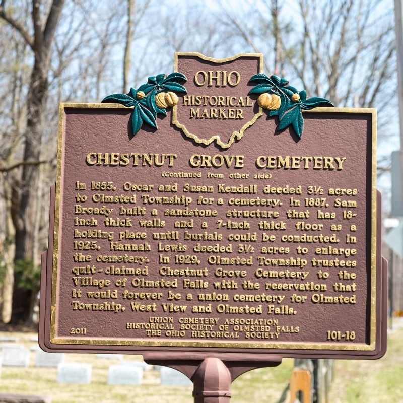
In 1855, Oscar and Susan Kendall deeded 3½ acres to Olmstead Township for a cemetery. In 1887, Sam Broady built a sandstone structure that has 18-inch thick walls and a 7-inch thick floor as a holding place until burials could be conducted. In 1825, Hannah Lewis deeded 3½ acres to enlarge the cemetery. In 1929, Olmsted Township trustees quit-claimed Chestnut Grove Cemetery to the Village of Olmsted Falls with the reservation that it would forever be a union cemetery for Olmsted Township, West View and Olmsted Falls.
Erected 2011 by Union Cemetery Association, Historical Society of Olmstead Falls, and The Ohio Historical Society. (Marker Number 101-18.)
Topics and series. This historical marker is listed in this topic list: Cemeteries & Burial Sites. In addition, it is included in the Ohio Historical Society / The Ohio History Connection series list. A significant historical year for this entry is 1961.
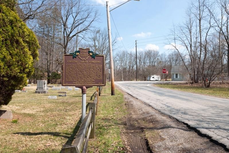
Location. 41° 22.759′ N, 81° 53.764′ W. Marker is in Olmsted Falls, Ohio, in Cuyahoga County. Marker is on Chestnut Grove Drive just west of Lewis Road, on the right when traveling west. Touch for map. Marker is in this post office area: Olmsted Falls OH 44138, United States of America. Touch for directions.
Other nearby markers. At least 8 other markers are within 3 miles of this marker, measured as the crow flies. Olmsted Falls, A Historic Community (approx. 0.4 miles away); Olmsted Falls L.S. & M.S. Depot (approx. 0.6 miles away); Olmsted’s Origins / Olmsted Township (approx. 1.4 miles away); The Ark (approx. 1.7 miles away); Frostville Post Office / Frostville Museum (approx. 1.9 miles away); Springvale Ballroom (approx. 1.9 miles away); Butternut Ridge Cemetery 1835 (approx. 2 miles away); John J. Donnelly (approx. 2.2 miles away). Touch for a list and map of all markers in Olmsted Falls.
Additional keywords. Witch’s Hill
Credits. This page was last revised on May 23, 2019. It was originally submitted on May 23, 2019, by J. J. Prats of Powell, Ohio. This page has been viewed 419 times since then and 43 times this year. Photos: 1, 2, 3, 4, 5. submitted on May 23, 2019, by J. J. Prats of Powell, Ohio.
