Near Purlear in Wilkes County, North Carolina — The American South (South Atlantic)
Tom Dula
Photographed by Cosmos Mariner, May 14, 2019
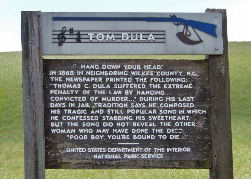
1. Tom Dula Marker
In 1868 in neighboring Wilkes County, N.C., the newspaper printed the following: “Thomas C. Dula suffered the extreme penalty of the law by hanging… convicted of murder…” During his last days in jail tradition says he composed his tragic and still popular song in which he confessed stabbing his sweetheart. But the song did not reveal the other woman who may have done the deed. “Poor boy, you’re bound to die…”
Erected by National Park Service, U.S. Department of the Interior.
Topics. This historical marker is listed in these topic lists: Arts, Letters, Music • Law Enforcement. A significant historical year for this entry is 1868.
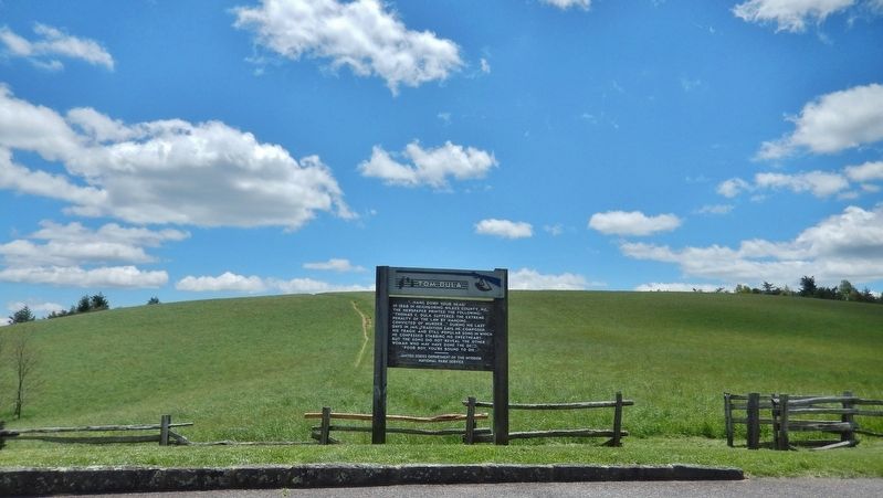
Location. 36° 16.554′ N, 81° 22.731′ W. Marker is near Purlear, North Carolina, in Wilkes County. It can be reached from Blue Ridge Parkway (at milepost 264.4). Marker is located at the south end of the Lump Overlook pull-out. Touch for map. Marker is in this post office area: Purlear NC 28665, United States of America. Touch for directions.

Regionally, this marker is in the American South, specifically in the Upper South, in Appalachia, and specifically in Southern Appalachia. Globally,
this page online
Other nearby markers. At least 8 other markers are within 11 miles of this marker, measured as the crow flies: Mt. Jefferson (approx. 2.3 miles away); Glendale Springs Inn (approx. 4.8 miles away); E. B. Jeffress Park (approx. 4.9 miles away); Stoneman's Raid (approx. 7½ miles away); Ore Knob Mine (approx. 8.6 miles away); Tobaccoville Barn (approx. 8.6 miles away); R. T. Greer & Company Root and Herb Warehouse (approx. 9.8 miles away); Rev. John W. Luke and Wife Mary Shaw Luke (approx. 10.4 miles away).
Related markers. Click here for a list of markers that are related to this marker. The Legend of Tom Dooley
Also see . . . The Scary Truth: The Legend of Tom Dooley. NC Ghosts website entry (Submitted on December 28, 2021, by Larry Gertner of New York, New York.)
Photographed by Cosmos Mariner, May 14, 2019
2. Tom Dula Marker (wide view • looking south from the Lump Overlook pull-out)
Credits. This page was last revised on December 6, 2024. It was originally submitted on May 23, 2019, by Cosmos Mariner of Cape Canaveral, Florida. This page has been viewed 1,430 times since then and 101 times this year. Photos: 1, 2. submitted on May 23, 2019, by Cosmos Mariner of Cape Canaveral, Florida.
