Derry in Westmoreland County, Pennsylvania — The American Northeast (Mid-Atlantic)
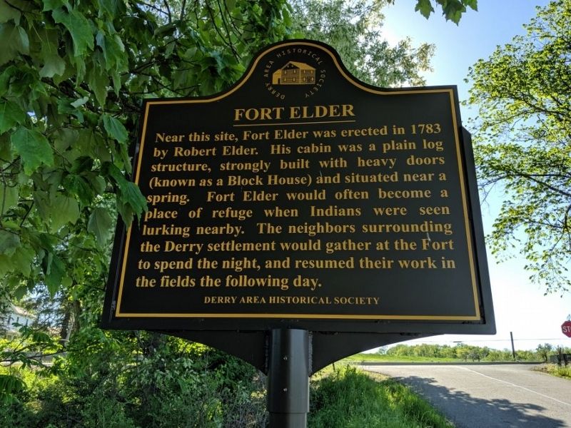
Fort Elder
Erected by Derry Area Historical Society.
Topics. This historical marker is listed in these topic lists: Forts and Castles • Native Americans. A significant historical year for this entry is 1783.
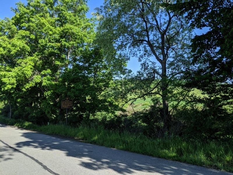
Location. 40° 25.56′ N, 79° 24.075′ W. Marker is in Derry, Pennsylvania, in Westmoreland County. Marker is at the intersection of Short Cut Road and Rushwood Road, on the right when traveling west on Short Cut Road. Touch for map. Marker is in this post office area: Derry PA 15627, United States of America. Touch for directions.
Other nearby markers. At least 8 other markers are within 7 miles of this marker, measured as the crow flies. Chalmers "Slick" Goodlin (approx. 2.3 miles away); Thomas F. Gallagher (approx. 2.6 miles away); Hauling Coal From Salem #2 (approx. 3.8 miles away); The Rivers' Edge (approx. 4.9 miles away); Saltsburg (approx. 4.9 miles away); Saltsburg Canal Park (approx. 5 miles away); Fort Barr (approx. 5.8 miles away); Wilson's Blockhouse (approx. 6.6 miles away). Touch for a list and map of all markers in Derry.
Also see . . . Derry Area Historical Society. (Submitted on May 24, 2019, by Mike Wintermantel of Pittsburgh, Pennsylvania.)
Credits. This page was last revised on May 24, 2019. It was originally submitted on May 24, 2019, by Mike Wintermantel of Pittsburgh, Pennsylvania. This page has been viewed 376 times since then and 20 times this year. Photos: 1, 2. submitted on May 24, 2019, by Mike Wintermantel of Pittsburgh, Pennsylvania.

