Olmsted Falls in Cuyahoga County, Ohio — The American Midwest (Great Lakes)
Olmsted’s Origins / Olmsted Township
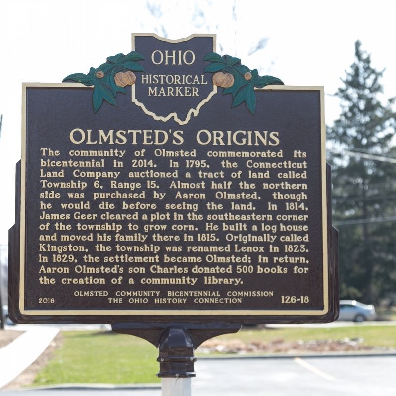
Olmsted’s Origins. The community of Olmsted commemorated its bicentennial in 2014. In 1795, the Connecticut Land Company auctioned a tract of land called Township 6, Range 15. Almost half the northern side was purchased by Aaron Olmsted, though he would die before seeing the land. In 1814, James Geer cleared a plot in the southeastern corner of the township to grow corn. He built a log house and moved his family there in 1815. Originally called Kingston, the township was renamed Lenox in 1823. In 1829, the settlement became Olmsted; in return Aaron Olmsted’s son Charles donated 500 books for the creation of a community library.
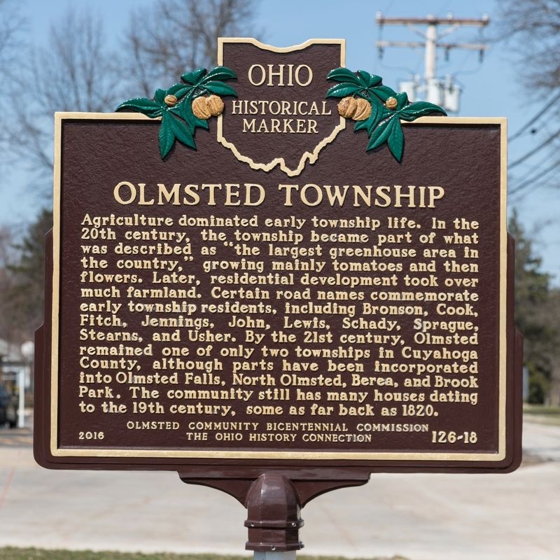
Olmsted Township. Agriculture dominated early township life. In the 20th century, the township became part of what was described as “the largest greenhouse area in the country,” growing mainly tomatoes and then flowers. Later, residential development took over much farmland. Certain road names commemorate early township residents, including Bronson, Cook, Fitch, Jennings, John, Lewis, Schady, Sprague, Stearns, and Usher. By the 21st century, Olmsted remained one of only two townships in Cuyahoga County, although parts have been incorporated into Olmsted Falls, North Olmsted, Berea, and Brook Park. The community still has many houses dating to the 19th century, some as far back as 1820.
Erected 2016 by Olmsted Community Bicentennial Commission and The Ohio History Connection. (Marker Number 126-18.)
Topics and series. This historical marker is listed in these topic lists: Agriculture • Political Subdivisions • Settlements & Settlers. In addition, it is included in the Ohio Historical Society / The Ohio History Connection series list. A significant historical year for this entry is 2014.
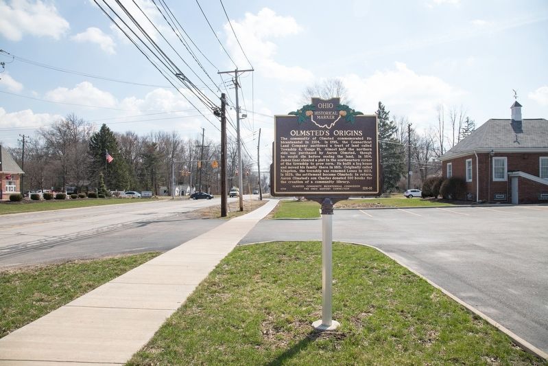
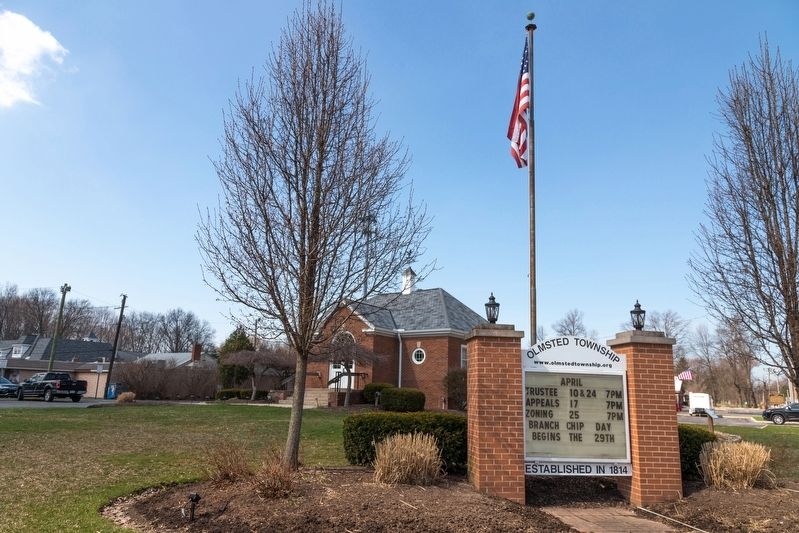
Location. 41° 22.983′ N, 81° 55.32′ W. Marker is in Olmsted Falls, Ohio, in Cuyahoga County. Marker is on Fitch Road just north of Cook Road, on the left when traveling north. It is between the Olmsted Township Hall and the Fire Department. Touch for map. Marker is in this post office area: Olmsted Falls OH 44138, United States of America. Touch for directions.
Other nearby markers. At least 8 other markers are within 2 miles of this marker, measured as the crow flies. Olmsted Falls, A Historic Community (approx. one mile away); Olmsted Falls L.S. & M.S. Depot (approx. one mile away); Chestnut Grove Cemetery (approx. 1.4 miles away); Springvale Ballroom (approx. 1.6 miles away); Butternut Ridge Cemetery 1835 (approx. 1.9 miles away); The Oxcart Library (approx. 2 miles away); North Olmsted (approx. 2 miles away); North Olmsted Veterans Plaza (approx. 2.1 miles away). Touch for a list and map of all markers in Olmsted Falls.
Credits. This page was last revised on May 24, 2019. It was originally submitted on May 24, 2019, by J. J. Prats of Powell, Ohio. This page has been viewed 286 times since then and 28 times this year. Photos: 1, 2, 3, 4. submitted on May 24, 2019, by J. J. Prats of Powell, Ohio.


