Highlands/Perkins in Baton Rouge in East Baton Rouge Parish, Louisiana — The American South (West South Central)
Parade Ground
Photographed by Cajun Scrambler, May 18, 2019
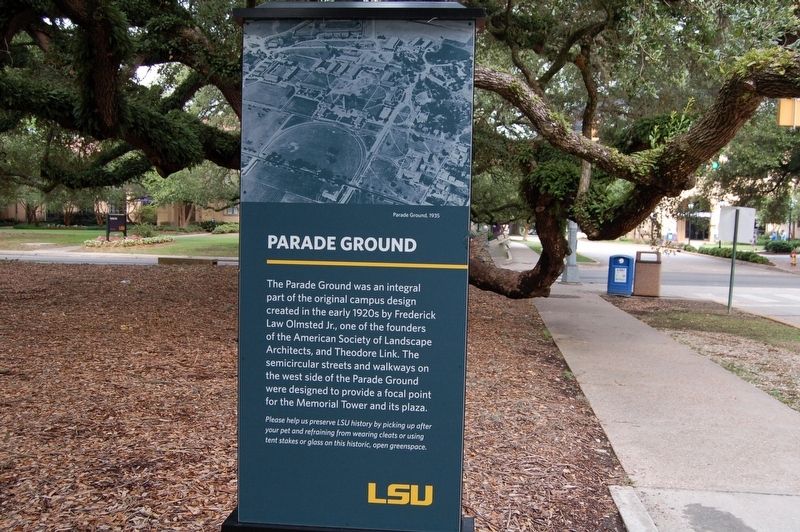
1. Parade Ground Marker
The Parade Ground was an integral part of the original campus design created in the early 1920s by Frederick Law Olmsted Jr., one of the founders of the American Society of Landscape Architects, and Theodore Link. The semicircular streets and walkways on the wesy side of the Parade Ground were designed to provide a focal point for the Memorial Tower and its plaza.
Please help us preserve LSU history by picking up after your pet and refraining from wearing cleats or using tent stakes or glass on this historic, open greenspace.
Erected by Louisiana State University.
Topics. This historical marker is listed in these topic lists: Education • Parks & Recreational Areas.
Location. 30° 24.806′ N, 91° 10.593′ W. Marker is in Baton Rouge, Louisiana, in East Baton Rouge Parish. It is in Highlands/Perkins. It is on Veterans Drive near Highland Road, on the left when traveling east. Touch for map. Marker is in this post office area: Baton Rouge LA 70803, United States of America. Touch for directions.
Regionally, this marker is in Louisiana’s Florida Parishes. It
this page online
Other nearby markers. At least 8 other markers are within walking distance of this marker: A different marker also named Parade Ground (about 300 feet away, measured in a direct line); Memorial Oak Grove (about 600 feet away); a different marker also named Parade Ground (about 600 feet away); Louisiana State University and Agricultural and Mechanical College (about 700 feet away); Land Grant College / Sea Grant College (about 700 feet away); Louisiana State Seminary of Learning Foundation Stone (about 700 feet away); La Maison Française & The Honors House (about 700 feet away); Campanile (approx. 0.2 miles away). Touch for a list and map of all markers in Baton Rouge.
More about this marker. Located on the
Photographed by Cajun Scrambler, May 18, 2019
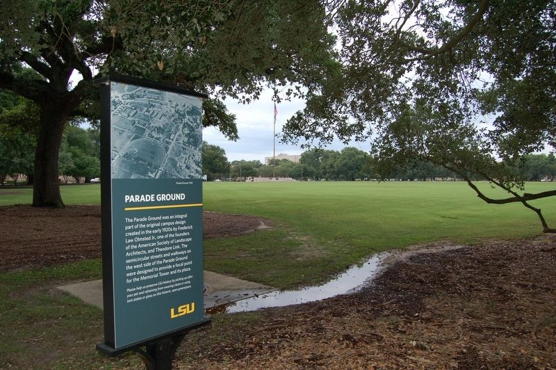
2. Parade Ground Marker
Photographed by Cajun Scrambler, May 18, 2019
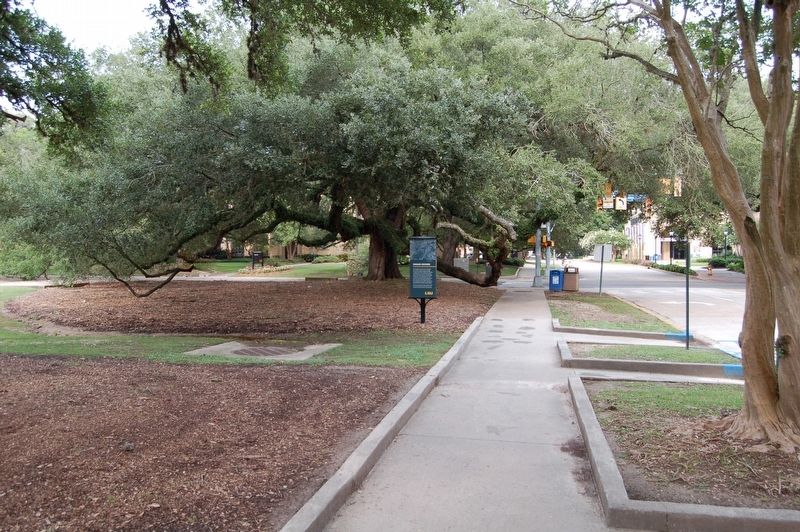
3. Parade Ground Marker
Credits. This page was last revised on February 12, 2023. It was originally submitted on May 25, 2019, by Cajun Scrambler of Assumption, Louisiana. This page has been viewed 424 times since then and 61 times this year. Photos: 1, 2, 3. submitted on May 25, 2019.
