
Friendsville in Garrett County, Maryland — The American Northeast (Mid-Atlantic)
The Lost Settlement of Kendall
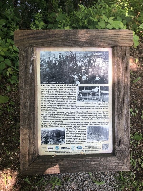
In the early 1900's on Sundays after church, Friendsville residents would take an enjoyable train ride up to Kendall to picnic. B&O Officials would also come to hunt, enjoy nature and stay in the big log building known as the "Clubhouse". The supposedly inexhaustible timber resources collapsed around 1912 but the train continued to carry coal from the valley. Kendall residents left
this page online
Visitors can now hike two miles from town to Kendall (and beyond) on the old railroad bed into the Youghiogheny River Wild and Scenic Corridor. Youghiogheny is a Shawnee name (YO-WAH-HO-NAY) for "river that flows in a countrary direction" (locals called it the "YAWK").
The town of Kendall was on the west side of the river at Laurel Run. You must wade the river to get to it. So be wary of dam releases! Little remains, except for a few overgrown foundations and perhaps the spirit of a town and residents long gone.
Erected by Maryland Heritage Area Authority. (Marker Number 7.)
Topics and series. This historical marker is listed in these topic lists: Industry & Commerce • Railroads & Streetcars • Settlements & Settlers • Waterways & Vessels. In addition, it is included in the Maryland, Friendsville History Tour series list. A significant historical year for this entry is 1889.
Location. 39° 39.727′ N, 79° 24.444′ W. Marker is in Friendsville, Maryland, in Garrett County. It is on Morris
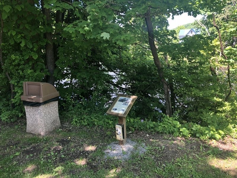

Regionally, this marker is in Western Maryland. It is also in the American Mid-Atlantic, in Appalachia, and specifically in Northern Appalachia. Globally, it is in North America, the Western Hemisphere, the Western World, and the Anglosphere. Historically, it finds itself in what was once one of the original Thirteen Colonies.
Other nearby markers. At least 8 other markers are within walking distance of this marker: The Railroad Era and Hotels (about 500 feet away, measured in a direct line); Riverside Hotel & Knights of Pythias (about 500 feet away); Native American Visitors and Inhabitants (about 500 feet away); Friendsville Commerce, Custer's and Ryland's Stores (about 600 feet away); The Legend of Johnny Friend (about 700 feet away); Morris Avenue and Maple Street (about 700 feet away); Friendsville School 1891-1924 (about 700 feet away); Friendsville Honor Roll (about 700 feet away). Touch for a list and map of all markers in Friendsville.
Credits. This page was last revised on July 19, 2020. It was originally submitted on May 26, 2019, by Devry Becker Jones of Washington, District of Columbia. This page has been viewed 804 times since then and 54 times this year. Photos: 1, 2. submitted on May 26, 2019, by Devry Becker Jones of Washington, District of Columbia.
