Seaport in Manhattan in New York County, New York — The American Northeast (Mid-Atlantic)
Urban Archeology / Then and Now
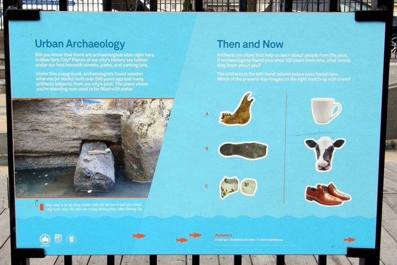
Urban Archeology
Did you know that there are archeological sites right here in New York City? Pieces of our city’s history are hidden under our feet beneath streets, parks, and parking lots.
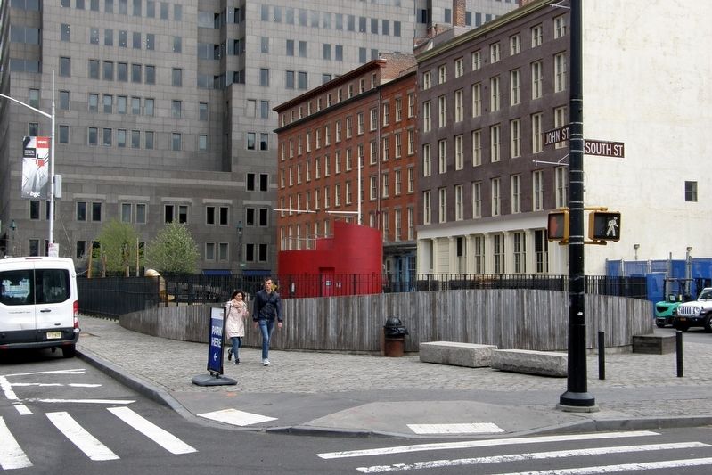
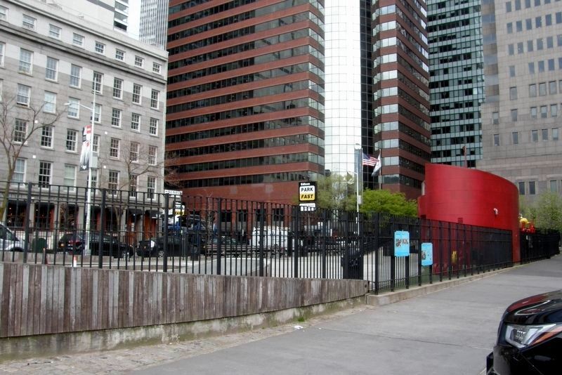
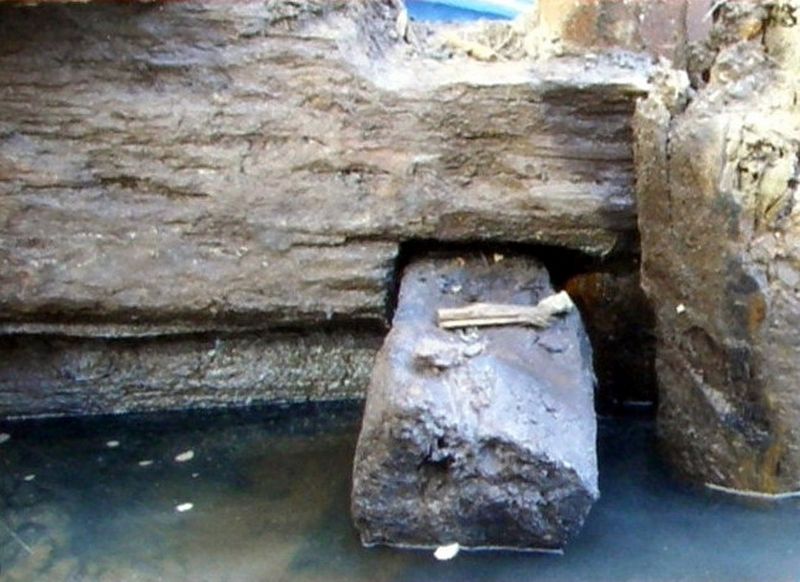
Under this playground, archeologists found wooden wharves (or docks) built over 200 years ago and many artifacts (objects) from our city’s past. The place where you’re standing used to be filled with water.
Then and Now
Artifacts are clues that help us learn about people from the past. If archeologists found your shoe 100 years from now, what would they learn about you?
The artifacts in the left-hand column below were found here. Which of the present-day images on the right match up with them?
Erected by NYC Parks.
Topics. This historical marker is listed in these topic lists: Anthropology & Archaeology • Waterways & Vessels.
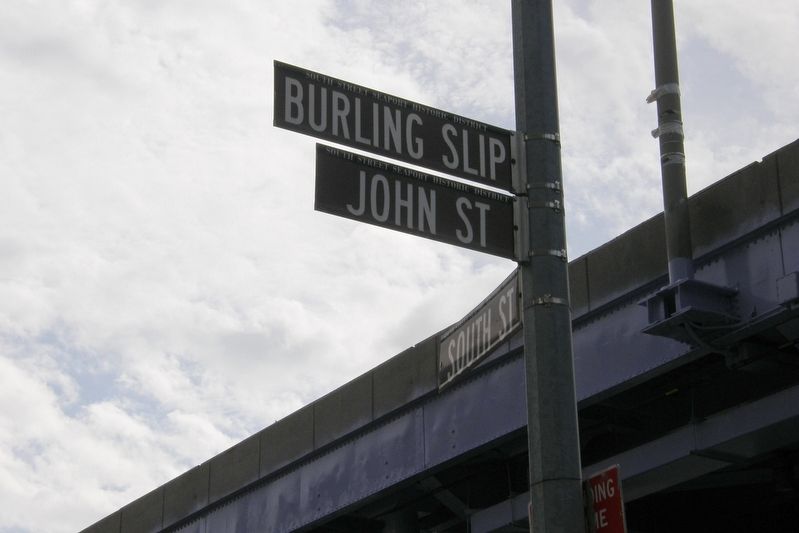
Location. 40° 42.362′ N, 74° 0.226′ W. Marker is in Manhattan, New York, in New York County. It is in Seaport. Marker is on Burling Slip near South Street, on the left when traveling south. Touch for map. Marker is at or near this postal address: Imagination Playground, New York NY 10038, United States of America. Touch for directions.
Other nearby markers. At least 8 other markers are within walking distance of this marker. Archaeological Discovery / Making Land (here, next to this marker); Imagination Playground at Burling Slip (within shouting distance of this marker); 170-6 John Street, 86 South Street (within shouting distance of this marker); High Water Mark (within shouting distance of this marker); Ambrose (within shouting distance of this marker); W.O. Decker (within shouting distance of this marker); America's Emporium (within shouting distance of this marker); Wall Street Exists Because of the Seaport (within shouting distance of this marker). Touch for a list and map of all markers in Manhattan.
Credits. This page was last revised on July 17, 2023. It was originally submitted on May 27, 2019, by Larry Gertner of New York, New York. This page has been viewed 131 times since then and 7 times this year. Photos: 1, 2, 3, 4, 5. submitted on May 27, 2019, by Larry Gertner of New York, New York. • Andrew Ruppenstein was the editor who published this page.
