Near Blue Ridge in Botetourt County, Virginia — The American South (Mid-Atlantic)
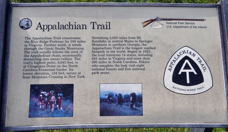
Appalachian Trail
Blue Ridge Parkway
Stretching 2,050 miles from Mt. Katahdin in central Maine to Springer Mountain in northern Georgia, the Appalachian Trail is the longest marked footpath in the world. Begun in 1922, the trail traverses 14 states, including 541 miles in Virginia and more than 200 miles in North Carolina. Hikers who complete the trek visit eight national forests and five national park areas.
Erected by National Park Service, U.S. Department of the Interior.
Topics and series. This historical marker is listed in this topic list: Parks & Recreational Areas. In addition, it is included in the Blue Ridge Parkway series list. A significant historical year for this entry is 1922.
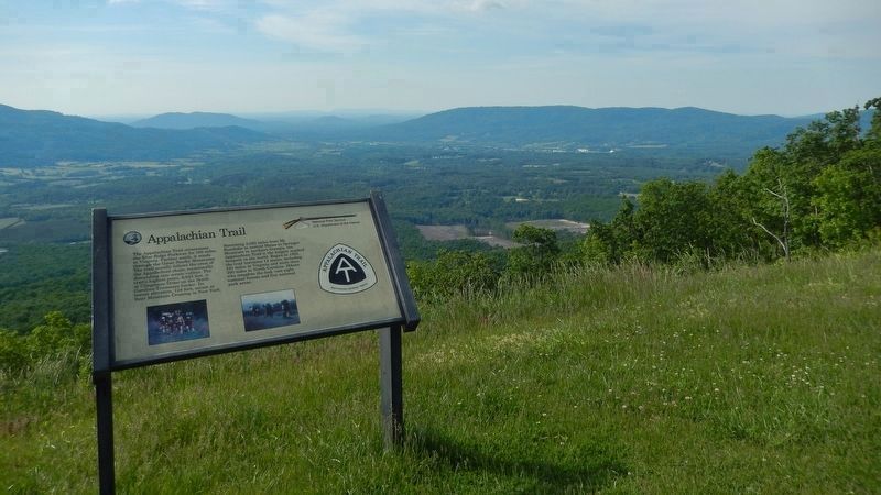
Location. 37° 26.457′ N, 79° 44.07′ W. Marker is near Blue Ridge, Virginia, in Botetourt County. Marker is on Blue Ridge Parkway (at milepost 95.4), on the right when traveling north. Marker is located at the Montvale Overlook on the Blue Ridge Parkway. Touch for map. Marker is in this post office area: Blue Ridge VA 24064, United States of America. Touch for directions.
Other nearby markers. At least 8 other markers are within 7 miles of this marker, measured as the crow flies. Peaks of Otter (approx. 3.3 miles away); Botetourt County / Bedford County (approx. 4.2 miles away); Coming of the Railroad (approx. 4.8 miles away); Mount Joy (approx. 5.2 miles away); Colonial Fort (approx. 5.2 miles away); Looney's Ferry (approx. 5.7 miles away); The Anchorage (approx. 6.4 miles away); Buchanan (approx. 6˝ miles away).
Credits. This page was last revised on May 28, 2019. It was originally submitted on May 27, 2019, by Cosmos Mariner of Cape Canaveral, Florida. This page has been viewed 296 times since then and 42 times this year. Photos: 1, 2. submitted on May 28, 2019, by Cosmos Mariner of Cape Canaveral, Florida.

