Ashland in Jackson County, Oregon — The American West (Northwest)
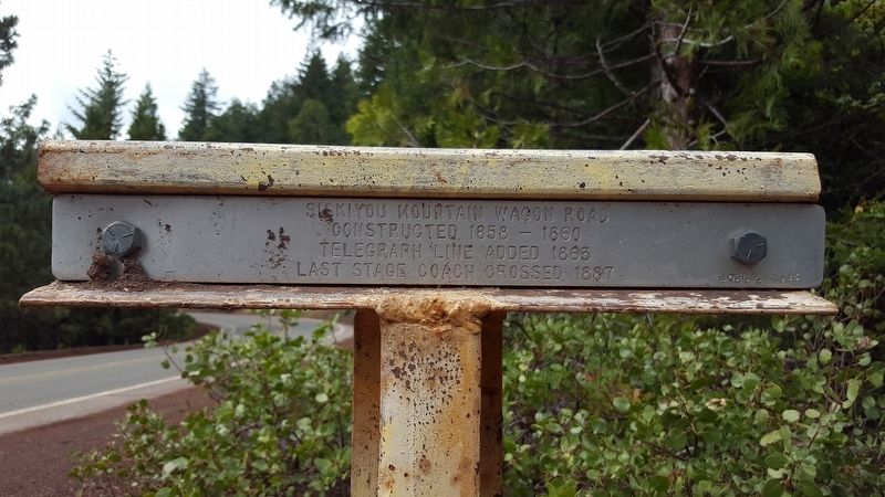
Siskiyou Mountain Wagon Road
Photographed by Douglass Halvorsen, May 27, 2019
1. Siskiyou Mountain Wagon Road Marker
Telegraph Line Added 1863
Last Stage Coach Crossed 1887
Erected 1983 by Southern Oregon Historical Society.
Topics. This historical marker is listed in this topic list: Roads & Vehicles. A significant historical year for this entry is 1858.
Location. 42° 4.401′ N, 122° 36.989′ W. Marker is in Ashland, Oregon, in Jackson County. It is on Mt Ashland Ski Rd, on the right when traveling north. Touch for map. Marker is in this post office area: Ashland OR 97520, United States of America. Touch for directions.

Regionally, this marker is in Southern Oregon. It is also on the American Pacific Coast, in the Pacific Northwest, and in the Lewis & Clark Corridor. Globally, it is in North America, in the Cascade Range, on the Ring of Fire, on the Pacific Rim, in the Western Hemisphere, in the Western World, and in the Anglosphere. Historically, it finds itself in what was once New Spain.
Other nearby markers. At least 8 other markers are within 6 miles of this marker, measured as the crow flies: Siskiyou Pass (about 300 feet away, measured in a direct line); a different marker also named
this page online
More about this marker. This marker resides at or near an area known as 'Toll Rd Gap' on topography maps. This marker is also related to another 'T' marker located further northeast of this marker (related marker link below).
Related marker. Click here for another marker that is related to this marker.
Also see . . . Jackson County Historical Markers placed by SOHS. This marker is one of a number of historical 'T' markers monumented in the 1970s and 1980s by the Southern Oregon Historical Society and also available for viewing on an interactive map (link above) (Submitted on May 28, 2019, by Douglass Halvorsen of Klamath Falls, Oregon.)
Photographed by Douglass Halvorsen, May 27, 2019
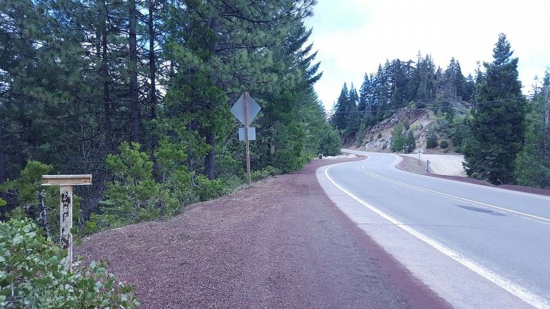
2. Siskiyou Mountain Wagon Road Marker
View of marker looking southeast. You can see a neighboring historical marker (Siskiyou Pass) in the distance.
Photographed by Douglass Halvorsen, May 27, 2019
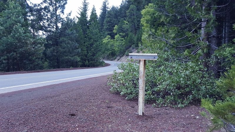
3. Siskiyou Mountain Wagon Road Marker
View of marker looking northwest
Credits. This page was last revised on May 29, 2019. It was originally submitted on May 28, 2019, by Douglass Halvorsen of Klamath Falls, Oregon. This page has been viewed 446 times since then and 46 times this year. Photos: 1, 2, 3. submitted on May 28, 2019, by Douglass Halvorsen of Klamath Falls, Oregon. • Andrew Ruppenstein was the editor who published this page.
