Ashland in Jackson County, Oregon — The American West (Northwest)
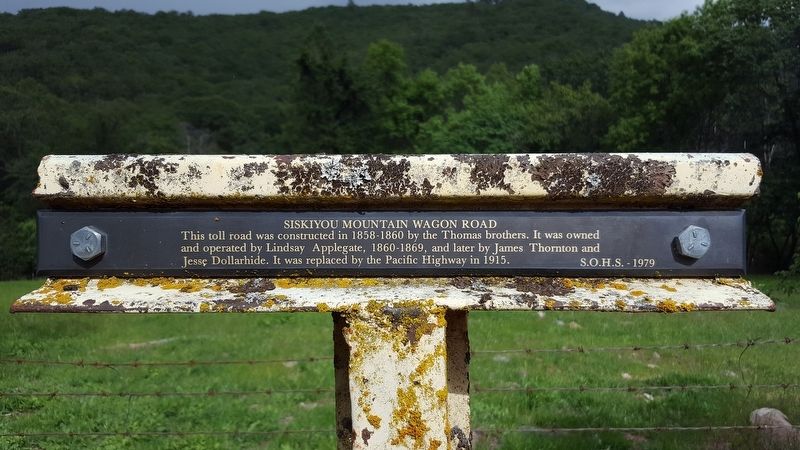
Siskiyou Mountain Wagon Road
Photographed by Douglass Halvorsen, May 27, 2019
1. Siskiyou Mountain Wagon Road Marker
Erected 1979.
Topics. This historical marker is listed in this topic list: Roads & Vehicles. A significant historical year for this entry is 1915.
Location. 42° 7.006′ N, 122° 36.15′ W. Marker is in Ashland, Oregon, in Jackson County. It is on Old Siskiyou Highway, on the left when traveling south. Touch for map. Marker is in this post office area: Ashland OR 97520, United States of America. Touch for directions.

Regionally, this marker is in Southern Oregon. It is also on the American Pacific Coast, in the Pacific Northwest, and in the Lewis & Clark Corridor. Globally, it is in North America, in the Cascade Range, on the Ring of Fire, on the Pacific Rim, in the Western Hemisphere, in the Western World, and in the Anglosphere. Historically, it finds itself in what was once New Spain.
Other nearby markers. At least 8 other markers are within 7 miles of this marker, measured as the
this page online
Another marker is no longer nearby. Dead Indian Memorial Road (was approx. 5.3 miles away but has been permanently removed).
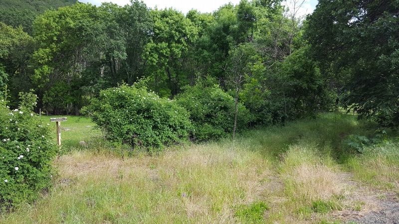
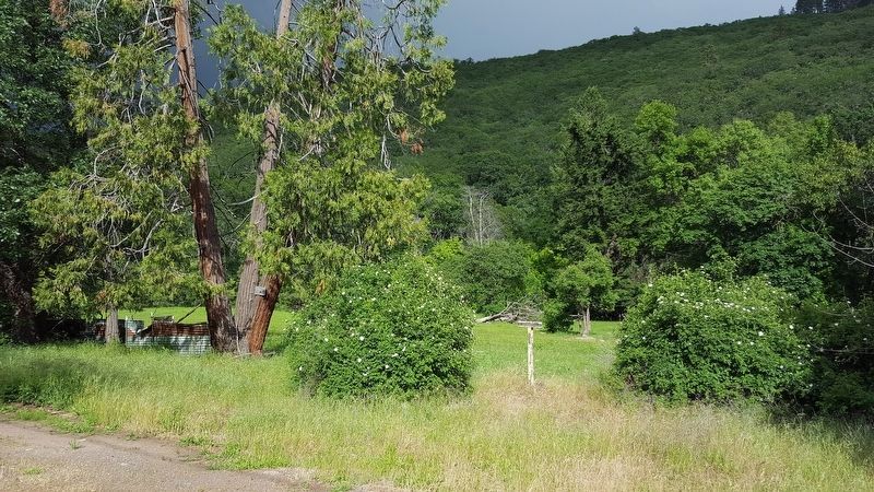
More about this marker. Marker is hard to see from the road and depending on the time of year, could be partly covered by tall grass. This marker also reads exactly the same as another 'T' marker located south of this marker (related marker link below).
Related marker. Click here for another marker that is related to this marker.
Also see . . . Jackson County Historical Markers placed by SOHS. This marker is one of a number of historical 'T' markers monumented
Photographed by Douglass Halvorsen, May 27, 2019
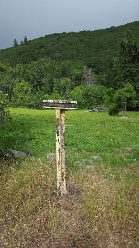
2. Siskiyou Mountain Wagon Road Marker
Photographed by Douglass Halvorsen, May 27, 2019
3. Siskiyou Mountain Wagon Road Marker
Marker in the distance looking southeast
Photographed by Douglass Halvorsen, May 27, 2019
4. Siskiyou Mountain Wagon Road Marker
Marker in the distance looking northwest
Credits. This page was last revised on May 29, 2019. It was originally submitted on May 28, 2019, by Douglass Halvorsen of Klamath Falls, Oregon. This page has been viewed 393 times since then and 34 times this year. Photos: 1, 2, 3, 4. submitted on May 28, 2019, by Douglass Halvorsen of Klamath Falls, Oregon. • Andrew Ruppenstein was the editor who published this page.
