Near Clarkston in Oakland County, Michigan — The American Midwest (Great Lakes)
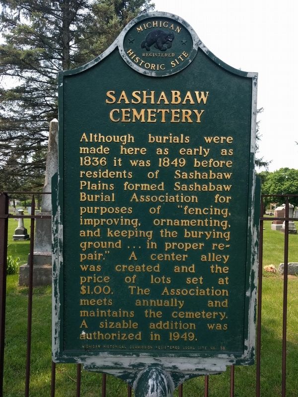
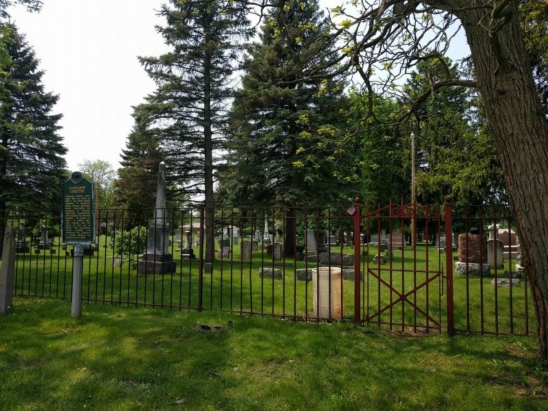
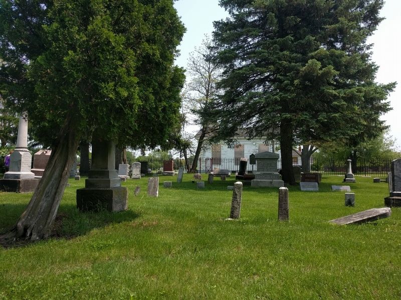
Sashabaw Cemetery
Erected by Michigan Historical Commission. (Marker Number L58.)
Topics and series. This historical marker is listed in this topic list: Cemeteries & Burial Sites. In addition, it is included in the Michigan Historical Commission series list. A significant historical year for this entry is 1836.
Location. 42° 43.151′ N, 83° 21.769′ W. Marker is near Clarkston, Michigan, in Oakland County. Marker is at the intersection of Maybee Road and Cecelia Ann Avenue on Maybee Road. Touch for map. Marker is at or near this postal address: 5331 Maybee Road, Clarkston MI 48346, United States of America. Touch for directions.
Other nearby markers. At least 8 other markers are within 5 miles of this marker, measured as the crow flies. Sashabaw United Presbyterian Church (within shouting distance of this marker); Becoming Clarkston (approx. 3.1 miles away); Building Clarkston History (approx. 3.2 miles away); The Nelson Clark Home (approx. 3.2 miles away); Getting Here (approx. 3.4 miles away); Howarth School (approx. 4.3 miles away); 911 Memorial...Never Forget (approx. 4.3 miles away); Oakland County Fallen Heroes Memorial (approx. 4.3 miles away). Touch for a list and map of all markers in Clarkston.
Additional commentary.
1. Sashabaw Plains Cemetery
Sashabaw Cemetery is now called Sashabaw Plains Cemetery and is solely owned and operated by Independence Township.
— Submitted May 31, 2019, by Joel Seewald of Madison Heights, Michigan.
Credits. This page was last revised on May 31, 2019. It was originally submitted on May 31, 2019, by Joel Seewald of Madison Heights, Michigan. This page has been viewed 532 times since then and 101 times this year. Photos: 1, 2, 3. submitted on May 31, 2019, by Joel Seewald of Madison Heights, Michigan.


