State College in Centre County, Pennsylvania — The American Northeast (Mid-Atlantic)
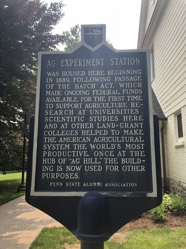
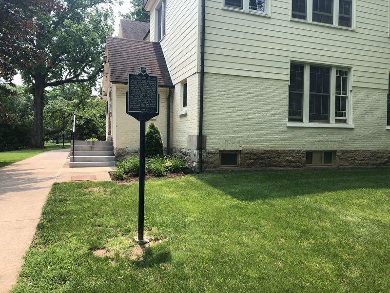
Ag Experiment Station
Erected by Penn State Alumni Association.
Topics and series. This historical marker is listed in these topic lists: Agriculture • Education • Science & Medicine. In addition, it is included in the Pennsylvania State University series list. A significant historical year for this entry is 1889.
Location. 40° 48.028′ N, 77° 51.824′ W. Marker is in State College, Pennsylvania, in Centre County. Marker can be reached from Shortlidge Road east of Curtin Road, on the left when traveling east. Touch for map. Marker is in this post office area: State College PA 16801, United States of America. Touch for directions.
Other nearby markers. At least 8 other markers are within walking distance of this marker. Ag Hill (within shouting distance of this marker); Calorimeter (within shouting distance of this marker); Pure Food Laws (about 400 feet away, measured in a direct line); Artificial Insemination (about 400 feet away); Mushroom Science (about 400 feet away); Jordan Soil Plots (about 500 feet away); First Ag Degrees (about 500 feet away); Faculty Cottages (about 600 feet away). Touch for a list and map of all markers in State College.
Credits. This page was last revised on June 1, 2019. It was originally submitted on June 1, 2019, by Devry Becker Jones of Washington, District of Columbia. This page has been viewed 150 times since then and 17 times this year. Photos: 1, 2. submitted on June 1, 2019, by Devry Becker Jones of Washington, District of Columbia.

