Everett in Bedford County, Pennsylvania — The American Northeast (Mid-Atlantic)
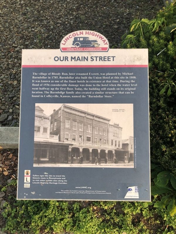
Our Main Street
Lincoln Highway Heritage Corridor
Topics and series. This historical marker is listed in these topic lists: Industry & Commerce • Roads & Vehicles. In addition, it is included in the Lincoln Highway series list. A significant historical year for this entry is 1785.
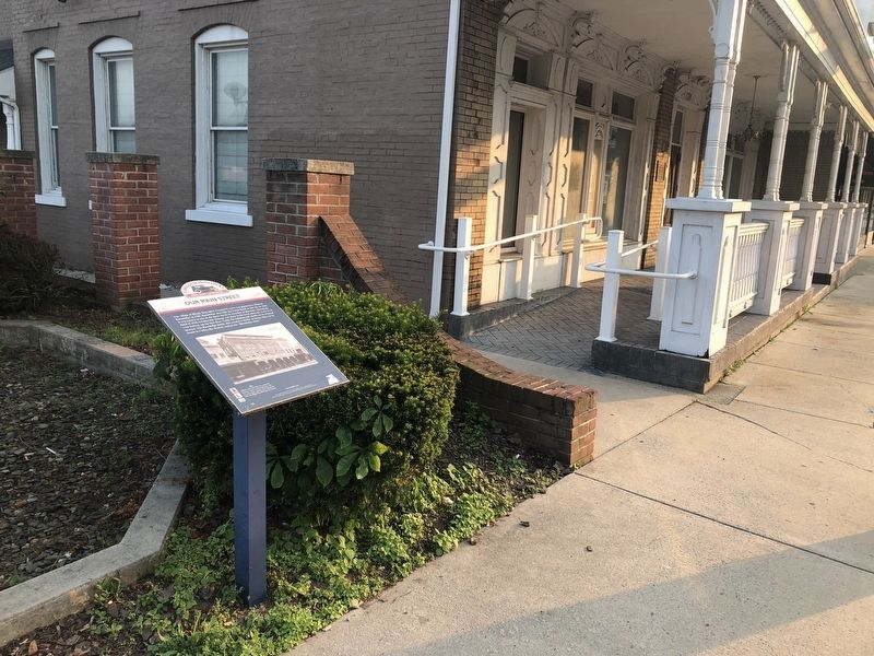
Location. 40° 0.705′ N, 78° 22.273′ W. Marker is in Everett, Pennsylvania, in Bedford County. Marker is at the intersection of East Main Street (Business U.S. 30) and North Bank Street, on the right when traveling east on East Main Street. Touch for map. Marker is at or near this postal address: 131 East Main Street, Everett PA 15537, United States of America. Touch for directions.
Other nearby markers. At least 8 other markers are within 6 miles of this marker, measured as the crow flies. Highway Enterprise (about 400 feet away, measured in a direct line); Early Roads (approx. ¼ mile away); Road Versus Rail (approx. 0.4 miles away); Everett Veterans Memorial (approx. half a mile away); Everett Area Honor Roll (approx. half a mile away); a different marker also named Highway Enterprise (approx. 3.4 miles away); Transportation History (approx. 4½ miles away); Forbes Road (approx. 5½ miles away). Touch for a list and map of all markers in Everett.

Photographed By Devry Becker Jones (CC0), May 31, 2019
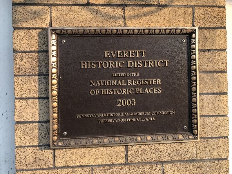
4. National Register of Historic Places plaque on the building for the Everett Historic District
Credits. This page was last revised on November 30, 2020. It was originally submitted on June 2, 2019, by Devry Becker Jones of Washington, District of Columbia. This page has been viewed 453 times since then and 171 times this year. Photos: 1, 2, 3, 4. submitted on June 2, 2019, by Devry Becker Jones of Washington, District of Columbia.


