Near Frankfort in Spink County, South Dakota — The American Midwest (Upper Plains)
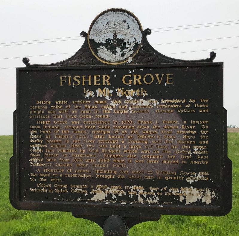
Fisher Grove
1/2 Mi. North
Fisher Grove was established in 1878, Frank I. Fisher, a lawyer from Indiana, stopped here while traveling down the James River. On the bank of the James, vestiges on an old wagon trail denotes the point as Fisher’s Ford, later known as Belcher’s Ford. Here the rocky bottom in the river afforded a crossing spot for Indians and settlers wagons. Here, too, was built a large sod barn for the stagecoach line operated by Fred Rodgers which was on the direct route from Pierre to Watertown. Rodgers also operated the first post office here from 1879 until 1883 when it was later moved to nearby Frankfort (named after Frank’s Ford).
A sequence of events, including the move of Drifting Goose and his band to a reservation, brought the white man in greater numbers to the area.
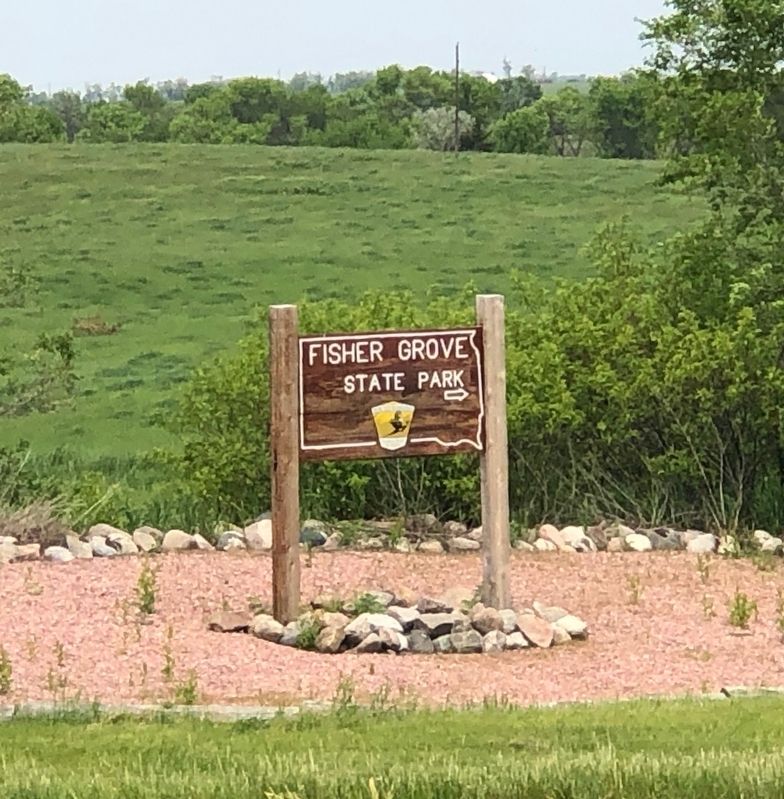
Fisher Grove became a state park in 1946. One of the first rural schools in Spink County, built in 1884, was moved to the park in 1961.
Erected 1969 by Spink County Parks Assn and State Historical society. (Marker Number 443.)
Topics and series. This historical marker is listed in these topic lists: Native Americans • Settlements & Settlers. In addition, it is included in the South Dakota State Historical Society Markers series list. A significant historical year for this entry is 1878.
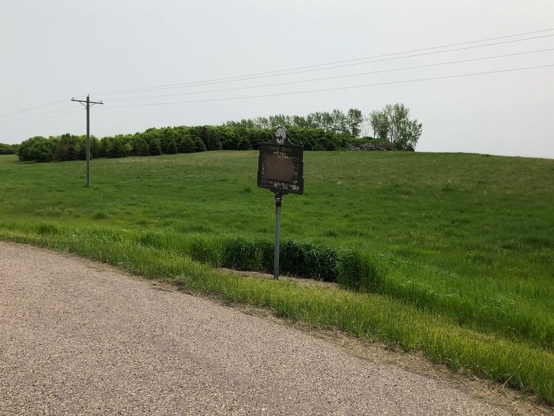
Location. 44° 52.719′ N, 98° 21.4′ W. Marker is near Frankfort, South Dakota, in Spink County. Marker is at the intersection of U.S. 212 and Fishers Lane, on the right when traveling east on U.S. 212. Touch for map. Marker is at or near this postal address: 39325 173rd St, Frankfort SD 57440, United States of America. Touch for directions.
Other nearby markers. At least 6 other markers are within 8 miles of this marker, measured as the crow flies. Spink County Courthouse Veterans Memorial (approx. 7.8 miles away); In Recognition of World War I Veterans (approx. 7.8 miles away); Redfield Carnegie Library (approx. 7.9 miles away); Abbie Gardner (approx. 8.1 miles away); Council Rock (approx. 8.1 miles away); Pheasant History (approx. 8.1 miles away).
Also see . . . Fisher Grove State Park. (Submitted on June 3, 2019, by Ruth VanSteenwyk of Aberdeen, South Dakota.)
Credits. This page was last revised on September 4, 2021. It was originally submitted on June 3, 2019, by Ruth VanSteenwyk of Aberdeen, South Dakota. This page has been viewed 317 times since then and 19 times this year. Last updated on September 4, 2021, by Ruth VanSteenwyk of Aberdeen, South Dakota. Photos: 1, 2, 3. submitted on June 3, 2019, by Ruth VanSteenwyk of Aberdeen, South Dakota. • Mark Hilton was the editor who published this page.


