Middletown in Butler County, Ohio — The American Midwest (Great Lakes)
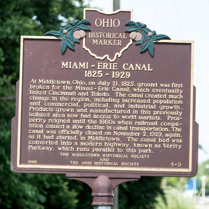
Miami-Erie Canal
1825–1929
Erected 1996 by the Middletown Historical Society and The Ohio Historical Society. (Marker Number 4-9.)
Topics and series. This historical marker is listed in this topic list: Waterways & Vessels. In addition, it is included in the Ohio Historical Society / The Ohio History Connection series list. A significant historical date for this entry is July 21, 1825.
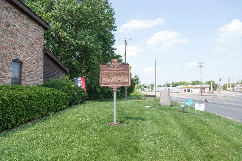
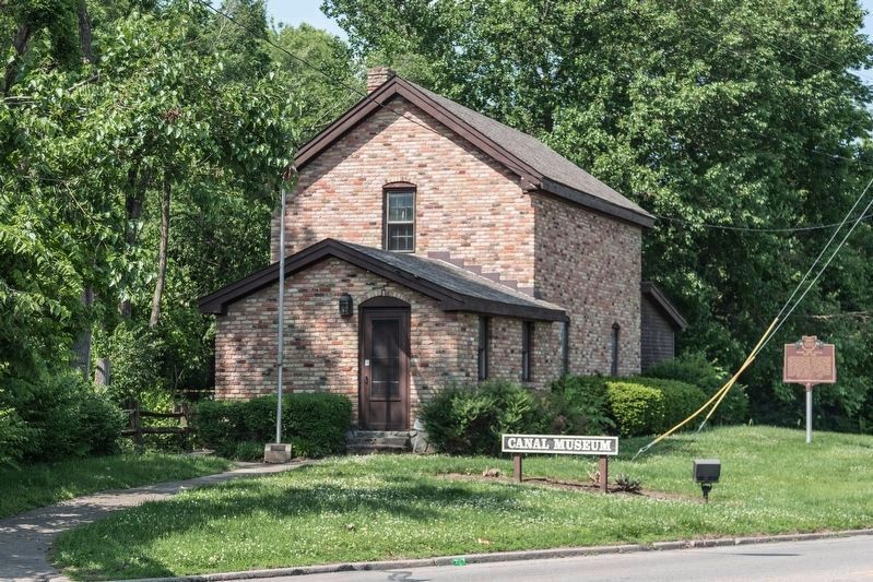
Location. 39° 31.354′ N, 84° 23.734′ W. Marker is in Middletown, Ohio, in Butler County. Marker is at the intersection of North Verity Parkway (Ohio Route 4) and Tytus Avenue, on the left when traveling north on North Verity Parkway . It is at the Canal Museum. Parking in in Smith Park, which is reached from Tytus Avenue. Touch for map. Marker is at or near this postal address: 1605 N Verity Pkwy, Middletown OH 45042, United States of America. Touch for directions.
Other nearby markers. At least 8 other markers are within walking distance of this marker. Remembrance Rock (a few steps from this marker); Middletown War Memorial Flagpole (a few steps from this marker); Underground Railroad Route (within shouting distance of this marker); World War II Veterans Memorial Bench (approx. half a mile away); Ohio Canals (approx. 0.6 miles away); Port Middletown (approx. 0.6 miles away); Canal Boats (approx. 0.6 miles away); Canal Locks (approx. 0.6 miles away). Touch for a list and map of all markers in Middletown.
More about this marker. This marker was toppled in a 1997 automobile accident. It remained in the city’s maintenance garage until it was remounted and rededicated early in 2019 by the Middletown Historical Society.
Also see . . . Wikipedia entry. “The Miami and Erie never proved to be as profitable as the state government had hoped, as within several years of being completed to Lake Erie it had to compete with railroads. These offered greater speed and capacity for both passengers and goods. Factors limiting the canal's success included the lower population and level of economic development in Ohio,
compared to that of New York when its canal was completed. Second, while New York had one canal that was located at the bottleneck of Great Lakes trade, Ohio had two canals, which spread usage too thinly. Third, was the expense of building and maintaining the canals. While the Erie Canal was 363 miles in length, with an elevation change of 700 feet, the combined length of Ohio's canals was 557 miles, with an elevation change of 2,096 feet. Compared to operations of the Erie Canal, the Ohio canal system had less trade and fewer passengers, while it had to operate over a longer length, and at a greater expense.” (Submitted on June 4, 2019, by J. J. Prats of Powell, Ohio.)

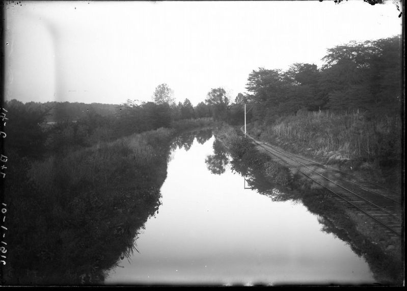
By Marion G. Warner (Monroe Historical Society Collection), October 1, 1916
4. Miami and Erie Canal, Excello, Ohio
This photograph was taken south of Excello, and shows the Miami and Erie Canal, and the Louisville, Cincinnati & Dayton Railroad tracks (CSX Transportation today) that paralleled the canal from Hamilton to Excello, where they turned towards the northeast. Excello is an unincorporated community in central Lemon Township in Butler County, on the south side of Middletown.
Credits. This page was last revised on June 4, 2019. It was originally submitted on June 4, 2019, by J. J. Prats of Powell, Ohio. This page has been viewed 437 times since then and 54 times this year. Photos: 1, 2, 3, 4. submitted on June 4, 2019, by J. J. Prats of Powell, Ohio.


