Wyoming in Hamilton County, Ohio — The American Midwest (Great Lakes)
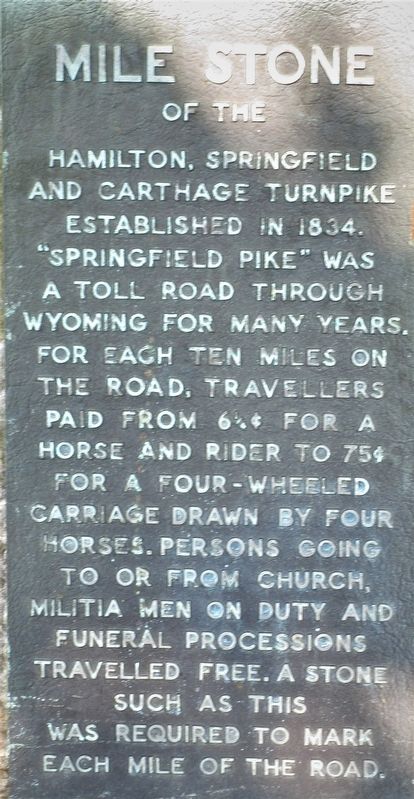
Milestone
of the Hamilton, Springfield and Carthage Turnpike
— established 1834 —
Topics. This historical marker is listed in this topic list: Roads & Vehicles.
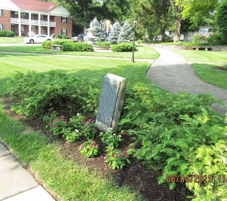
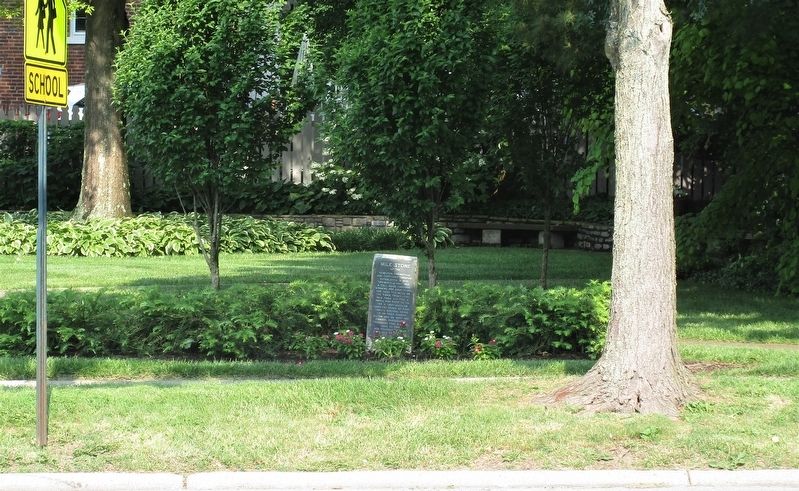
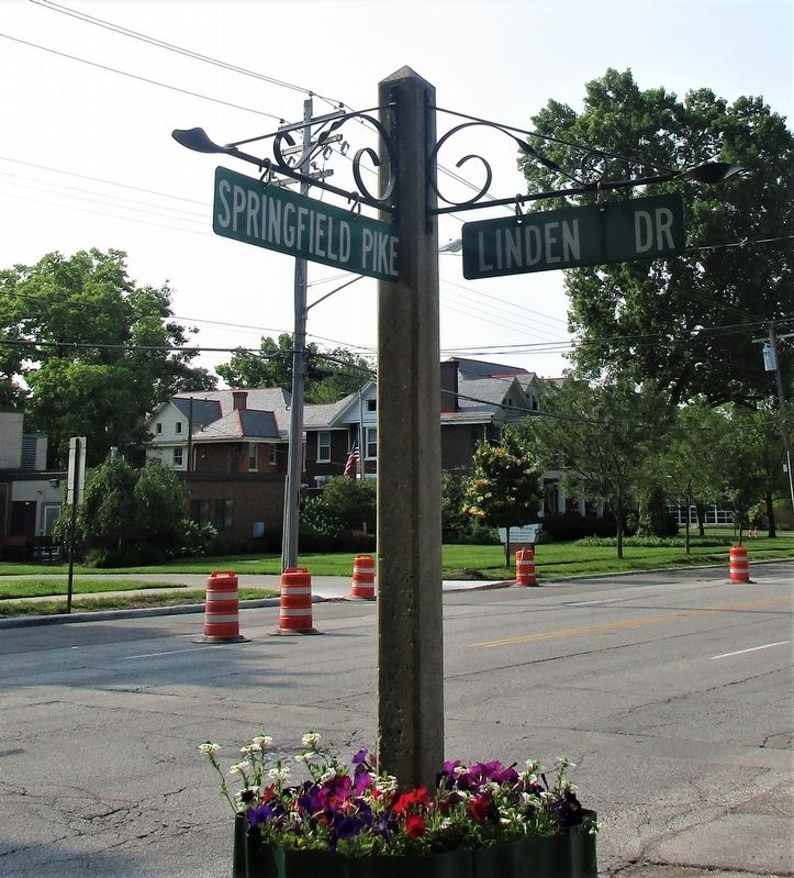
Location. 39° 13.606′ N, 84° 28.372′ W. Marker is in Wyoming, Ohio, in Hamilton County. Marker is on Springfield Pike (Ohio Route 4), on the right when traveling south. Touch for map. Marker is at or near this postal address: 425 Springfield Pike, Cincinnati OH 45215, United States of America. Touch for directions.
Other nearby markers. At least 8 other markers are within walking distance of this marker. Linden Drive (within shouting distance of this marker); Stearns and Foster Company (within shouting distance of this marker); Spreen’s Corner (within shouting distance of this marker); Robert Reily (within shouting distance of this marker); Doughboy (about 600 feet away, measured in a direct line); Wyoming Avenue Business District (approx. 0.4 miles away); Barney-Fisk-Stearns Property (approx. 0.4 miles away); Lockland- Wyoming Train Station (approx. 0.4 miles away). Touch for a list and map of all markers in Wyoming.
Credits. This page was last revised on June 6, 2019. It was originally submitted on June 5, 2019, by Rev. Ronald Irick of West Liberty, Ohio. This page has been viewed 238 times since then and 16 times this year. Photos: 1, 2, 3, 4. submitted on June 5, 2019, by Rev. Ronald Irick of West Liberty, Ohio. • Bill Pfingsten was the editor who published this page.


