Crystal City in Arlington in Arlington County, Virginia — The American South (Mid-Atlantic)
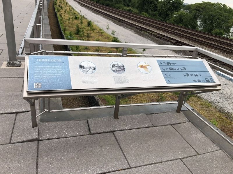
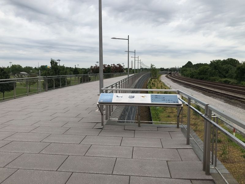
A Historic Junction
The Long Bridge in 1865. Union troops laid railroad track across the bridge during the Civil War to carry supplies to destinations such as Fort Jackson, erected near here to protect this vital crossing from Confederate attacks.
Around the turn of the 20th century, a new rail bridge was built as the region grew. The railroad tracks of the Civil War-era crossing were converted for an electric trolley system. The trolley carried commuters into Washington, D.C. and transported Washingtonians to various attractions in Arlington.
Just as humans continue to move through this area, the Chesapeake region is a crucial migration route for many species of birds.
Topics and series. This historical marker is listed in these topic lists: Air & Space • Bridges & Viaducts • Railroads & Streetcars • War, US Civil. In addition, it is included in the Defenses of Washington series list. A significant historical year for this entry is 1865.
Location. 38° 51.839′ N, 77° 2.857′ W. Marker is in Arlington, Virginia, in Arlington County. It is in Crystal City. Marker can be reached from 6th Street South east of Long Bridge Drive, on the right when traveling east. Touch for map. Marker is at or near this postal address: 305 10th Street South, Arlington VA 22202, United States of America. Touch for directions.
Other nearby markers. At least 8 other markers are within walking distance of this marker. New and Renewed Land (within shouting distance of this marker); Fort Runyon after the Civil War (about 700 feet away, measured in a direct line); Known Units Garrisoned at Fort Runyon (about 700 feet away); The Union Soldier (about 700 feet away); Arlington Transformed by War (about 700 feet away); The Defenses of Washington (about 700 feet away); The March Across the Long Bridge (about 800 feet away); Fort Runyon: Defending the Capital (approx. 0.2 miles away). Touch for a list and map of all markers in Arlington.
Credits. This page was last revised on February 1, 2023. It was originally submitted on June 7, 2019, by Devry Becker Jones of Washington, District of Columbia. This page has been viewed 271 times since then and 16 times this year. Photos: 1, 2. submitted on June 7, 2019, by Devry Becker Jones of Washington, District of Columbia.

