Leistville in Pickaway County, Ohio — The American Midwest (Great Lakes)
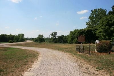
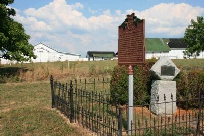
Treaty of Camp Charlotte
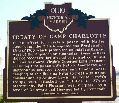
In an effort to maintain peace with Native Americans, the British imposed the Proclamation Line of 1763, which prohibited colonial settlement west of the Appalachian Mountains. Some settlers did not recognize British authority and continued to move westward. Virginia Governor Lord Dunmore, realizing that peace with Native Americans was improbable, amassed troops and headed west, camping at the Hocking River to meet with a unit commanded by Andrew Lewis. En route, Lewis's troops were attacked on October 10, 1774 at present day Point Pleasant, West Virginia, by a force of Delaware and Shawnee led by Cornstalk.
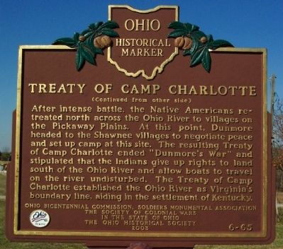
After intense battle, the Native Americans retreated north across the Ohio River to villages on the Pickaway Plains. At this point, Dunmore headed to the Shawnee villages to negotiate peace and set up camp at this site. The resulting Treaty of Camp Charlotte ended “Dunmore's War” and stipulated that the Indians give up rights to land south of the Ohio River and allow boats to travel on the river undisturbed. The Treaty of Camp Charlotte established the Ohio River as Virginia's boundary line, aiding in the settlement of Kentucky.
Erected 2003 by Ohio Bicentennial Commission, Soldiers Monumental Association, The Society of Colonial Wars in the State of Ohio, The Ohio Historical Society. (Marker Number 6-65.)
Topics and series. This historical marker is listed in these topic lists: Native Americans • Peace • Settlements & Settlers. In addition, it is included in the Ohio Historical Society / The Ohio History Connection series list. A significant historical month for this entry is October 1860.
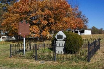
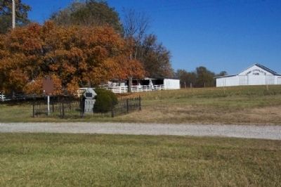
Location. 39° 32.287′ N, 82° 50.616′ W. Marker is in Leistville, Ohio, in Pickaway County. Marker is on Ohio Route 56, half a mile north of Ohio Route 159, on the right when traveling north. Touch for map. Marker is at or near this postal address: 10104 Ohio Route 56 E, Circleville OH 43113, United States of America. Touch for directions.
Other nearby markers. At least 8 other markers are within 7 miles of this marker, measured as the crow flies. Camp Charlotte (here, next to this marker); Gill Morris Home (within shouting distance of this marker); Major General William Sooy Smith (approx. 3.8 miles away); Zane's Trace (approx. 3.8 miles away); Camp Circleville (approx. 5 miles away); Grenadier Squaw Village / Cornstalk Town (approx. 6.3 miles away); Chief Logan / Logan Elm (approx. 6.3 miles away); Grenadier Squaw (Non-hel-e-ma) (approx. 6.3 miles away).
Related markers. Click here for a list of markers that are related to this marker. Andrew & Charles Lewis March - Putnam Co., WV & Camp Charlotte Marker
Also see . . . Hokolesqua - Also known as Cornstalk - Ohio History Central. (Submitted on November 12, 2008, by Bill Pfingsten of Bel Air, Maryland.)
Credits. This page was last revised on December 2, 2019. It was originally submitted on November 11, 2008, by William Fischer, Jr. of Scranton, Pennsylvania. This page has been viewed 3,811 times since then and 68 times this year. Photos: 1, 2, 3, 4. submitted on November 11, 2008, by William Fischer, Jr. of Scranton, Pennsylvania. 5, 6. submitted on September 9, 2012, by Dale K. Benington of Toledo, Ohio. • Bill Pfingsten was the editor who published this page.
