Midtown - Downtown in Columbia in Richland County, South Carolina — The American South (South Atlantic)
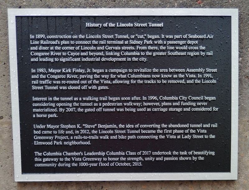
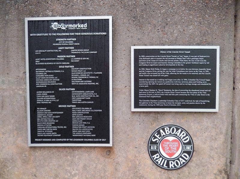
History of the Lincoln Street Tunnel
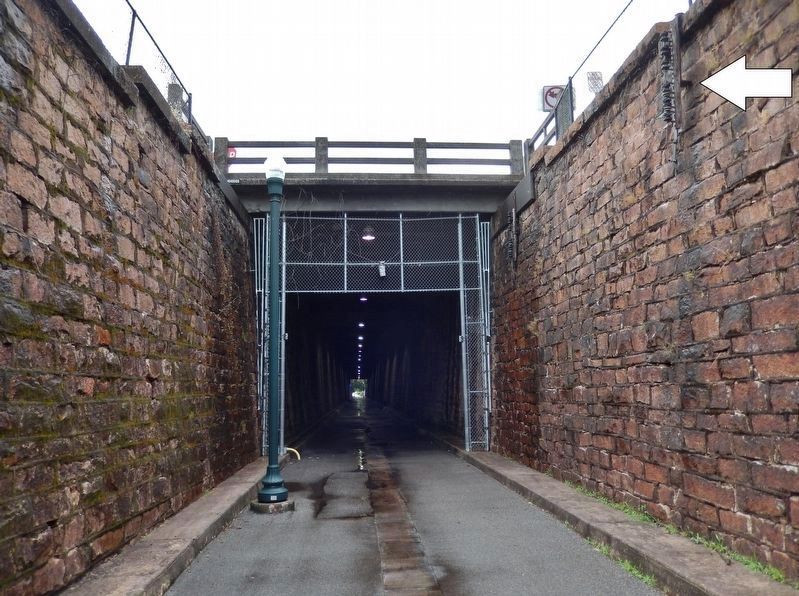
In 1899, construction on the Lincoln Street Tunnel, or "cut," began. It was part of Seaboard Air Line Railroad's plan to connect the rail terminal at Sidney Park with a passenger depot and diner at the corner of Lincoln and Gervais streets. From there, the line would cross the Congaree River to Cayce and beyond, linking Columbia to the greater Southeast region by rail and leading to significant industrial development in the city.
In 1983, Mayor Kirk Finlay, Jr. began a campaign to revitalize the area between Assembly Street and the Congaree River, paving the way for what Columbians now know as the Vista. In 1991, rail traffic was re-routed out of the Vista, allowing for the tracks to be removed, and the Lincoln Street Tunnel was closed off with gates.
Interest in the tunnel as a walking trail began soon after. In 1996, Columbia City Council began considering opening the tunnel as a pedestrian walkway; however, plans and funding never materialized. By 2007, the gated off tunnel was being used as carriage storage and considered for a horse park.
Under Mayor Stephen K. "Steve" Benjamin, the idea of converting the abandoned tunnel and rail bed came to life and, in 2012, the Lincoln Street Tunnel became the first phase of the Vista Greenway Project, a rails-to-trails walk and bike path connecting the Vista at Lady Street to the - Elmwood Park neighborhood.
The Columbia Chamber's Leadership Columbia Class of 2017 undertook the task of beautifying this gateway to the Vista Greenway to honor the strength, unity and passion shown by the community during the 1000-year flood Of October, 2015.
Topics. This historical marker is listed in these topic lists: Bridges & Viaducts • Parks & Recreational Areas • Railroads & Streetcars.
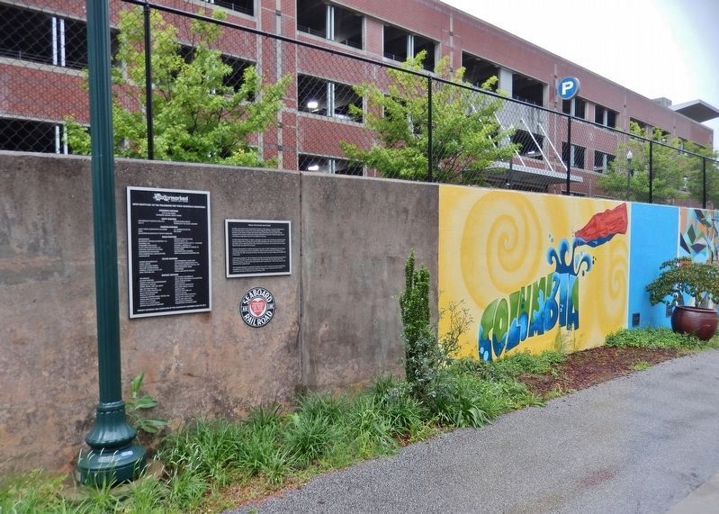
Location. 34° 0.103′ N, 81° 2.366′ W. Marker is in Columbia, South Carolina, in Richland County. It is in Midtown - Downtown. Marker is on Lincoln Street north of Lady Street, on the left when traveling north. Marker is located along the Vista Greenway, (the former Seaboard Air Line Railroad route), between the northbound and southbound sides of Lincoln Street. Touch for map. Marker is in this post office area: Columbia SC 29201, United States of America. Touch for directions.
Other nearby markers. At least 8 other markers are within walking distance of this marker. Victory Savings Bank (about 400 feet away, measured in a direct line); R.L. Bryan Co. Warehouse (about 500 feet away); Zion Baptist Church (about 500 feet away); A Living Sanctuary: Zion Baptist Church and Columbia's Civil Rights Struggle (about 500 feet away); Seaboard Air-Line Railway Station #2 (about 600 feet away); Seaboard Air-Line Railway Station #1
(about 700 feet away); Nathaniel J. Frederick House (about 700 feet away); Lincoln Street (approx. 0.2 miles away). Touch for a list and map of all markers in Columbia.
Also see . . . Vista Greenway South Carolina. TrailLink website entry (Submitted on April 24, 2023, by Larry Gertner of New York, New York.)
Photographed By Cosmos Mariner, May 4, 2019
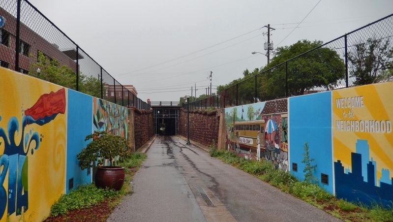
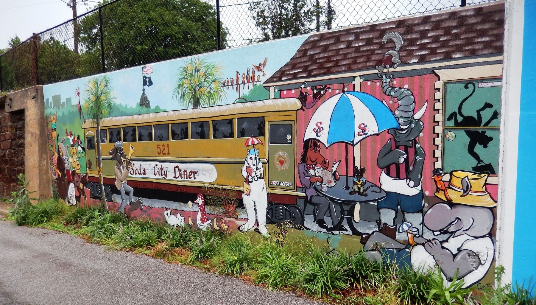
6. Our Community, Soda City Diner Mural • Keith Tolen • 2017
(located near marker)
(located near marker)
Legend:
On a beautiful Soda City afternoon, the whole community gathers around to hear the sounds of the Dizzy and the Boys animal band as they perform outside a Seaboard Air Line passenger car converted into a diner. The mural celebrates the unity and sense of community that brought people together to rebuild the city of Columbia after the flood.
Funding for this piece was provided by Founders Federal Credit Union.
A project of Leadership Columbia Class of 2017 in partnership with One Columbia for Arts and History and the City of Columbia.
Credits. This page was last revised on April 24, 2023. It was originally submitted on June 7, 2019, by Cosmos Mariner of Cape Canaveral, Florida. This page has been viewed 1,182 times since then and 152 times this year. Photos: 1, 2, 3, 4, 5, 6. submitted on June 7, 2019, by Cosmos Mariner of Cape Canaveral, Florida.
