Bridgetown, Saint Michael, Barbados — Caribbean Region of the Americas (Lesser Antilles of the West Indies)
Hastings
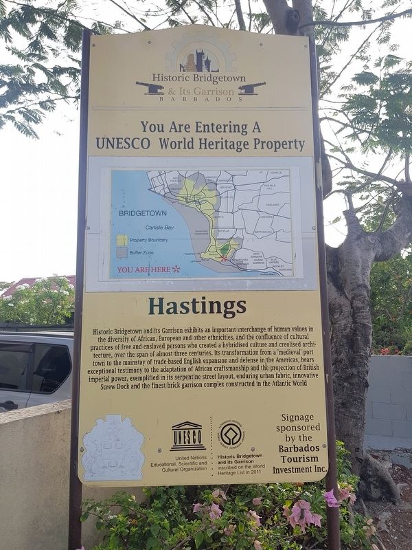
Historic Bridgetown & Its Garrison
Hastings
Barbados
You Are Entering A UNESCO World Heritage Property
Historic Bridgetown and its Garrison exhibits an important interchange of human values in the diversity of African, European and other ethnicities, and the confluence of cultural practices of free and enslaved persons who created a hybridised culture and creolised architecture, over the span of almost three centuries. Its transformation from a 'medieval' port town to the mainstay of trade-based English expansion and defense in the Americas, bears exceptional testimony to the adaptation of African craftsmanship and the projection of British imperial power, exemplified in its serpentine street layout, enduring urban fabric, innovative Screw Dock and the finest brick garrison complex constructed in the Atlantic World
Signage sponsored by the Barbados Tourism Investment Inc.
Historic Bridgetown and its Garrison inscribed on the World Heritage List in 2011
Erected by Barbados Tourism Investment Inc.
Topics and series. This historical marker is listed in these topic lists: Colonial Era • Forts and Castles • Man-Made Features. In addition, it is included in the UNESCO World Heritage Sites series list. A significant historical year for this entry is 2011.
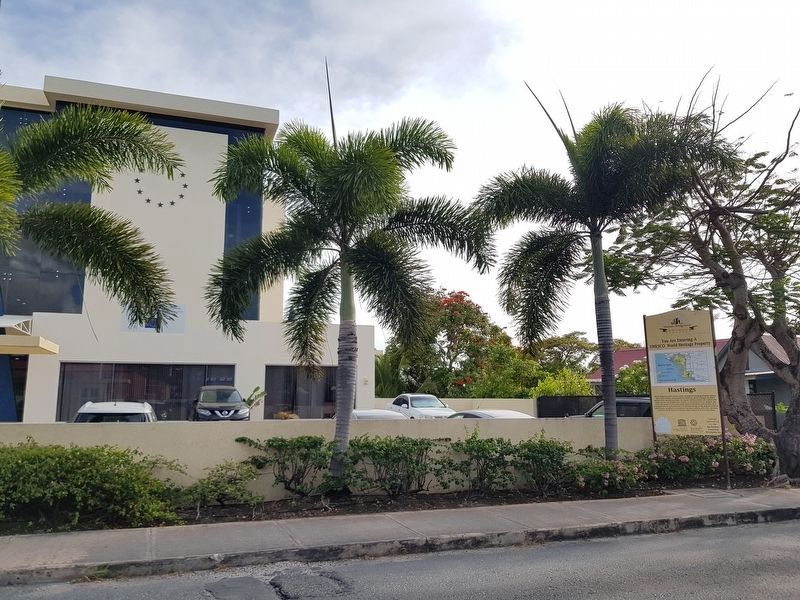
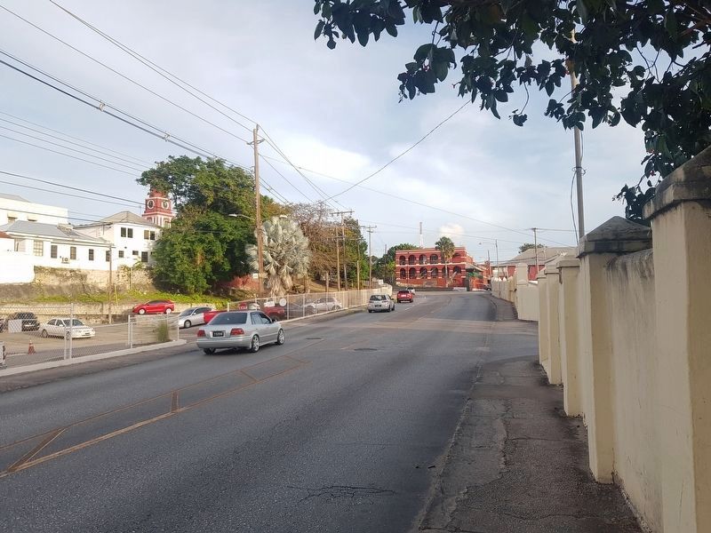
Location. 13° 4.624′ N, 59° 36.194′ W. Marker is in Bridgetown, Saint Michael. Marker is on Hastings Main Road west of Harts Gap, on the left when traveling west. Touch for map. Marker is in this post office area: Bridgetown, Saint Michael BB14038, Barbados. Touch for directions.
Other nearby markers. At least 8 other markers are within walking distance of this marker. Barbados Independence Monument (approx. 0.4 kilometers away); Saint Matthias Anglican Church (approx. 0.4 kilometers away); The Main Guard (approx. half a kilometer away); Royal Artillery Barracks (approx. half a kilometer away); Engineer’s Office & Quarters (approx. 0.6 kilometers away); Monument to Those Lost in the 1831 Hurricane (approx. 0.6 kilometers away); Commissariat for the British Commission (approx. 0.7 kilometers away); Commonwealth War Graves (approx. 0.7 kilometers away). Touch for a list and map of all markers in Bridgetown.
Credits. This page was last revised on June 8, 2019. It was originally submitted on June 8, 2019, by J. Makali Bruton of Accra, Ghana. This page has been viewed 205 times since then and 28 times this year. Photos: 1, 2, 3. submitted on June 8, 2019, by J. Makali Bruton of Accra, Ghana.


