Wyoming in Hamilton County, Ohio — The American Midwest (Great Lakes)
Wyoming Avenue Business District
Photographed by Rev. Ronald Irick, June 4, 2019
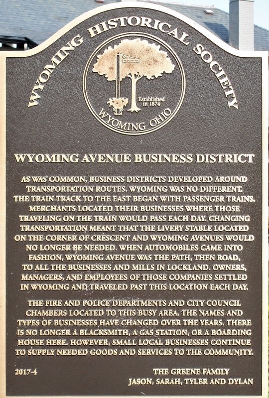
1. Wyoming Avenue Business District Marker
close up, showing text
The fire and police departments and city council chambers located to this busy area. The names and types of businesses have changed over the years. There is no longer a blacksmith, a gas station, or a boarding house here. However, small local businesses continue to supply needed goods and services to the community.
Erected 2017 by The Greene Family Jason, Sarah, Tyler and Dylan. (Marker Number 2017- 4.)
Topics. This historical marker is listed in these topic lists: Industry & Commerce • Roads & Vehicles • Settlements & Settlers.
Location. 39° 13.639′ N, 84° 27.967′ W. Marker is in Wyoming, Ohio, in Hamilton County. It is at the intersection of Wyoming Avenue and Oak Avenue, on the right when traveling west on Wyoming Avenue. marker is on the Village Green. Touch for map. Marker is at or near this postal address: 415 Wyoming Avenue, Cincinnati OH 45215, United States of America. Touch for directions.

Regionally, this marker is in Greater Cincinnati. It is also in the American Midwest and in the Ohio River Valley. Globally, it is in North America, the Western Hemisphere, the Western World, and the Anglosphere.
this page online
Other nearby markers. At least 8 other markers are within walking distance of this marker: “The Municipal Building” (a few steps from this marker); Lockland- Wyoming Train Station (about 500 feet away, measured in a direct line); Wyoming Avenue School Property (approx. ¼ mile away); Robert Reily (approx. 0.3 miles away); Spreen’s Corner (approx. 0.3 miles away); Milestone (approx. 0.4 miles away); Doughboy (approx. 0.4 miles away); Linden Drive (approx. 0.4 miles away). Touch for a list and map of all markers in Wyoming.
Photographed by Rev. Ronald Irick, June 4, 2019
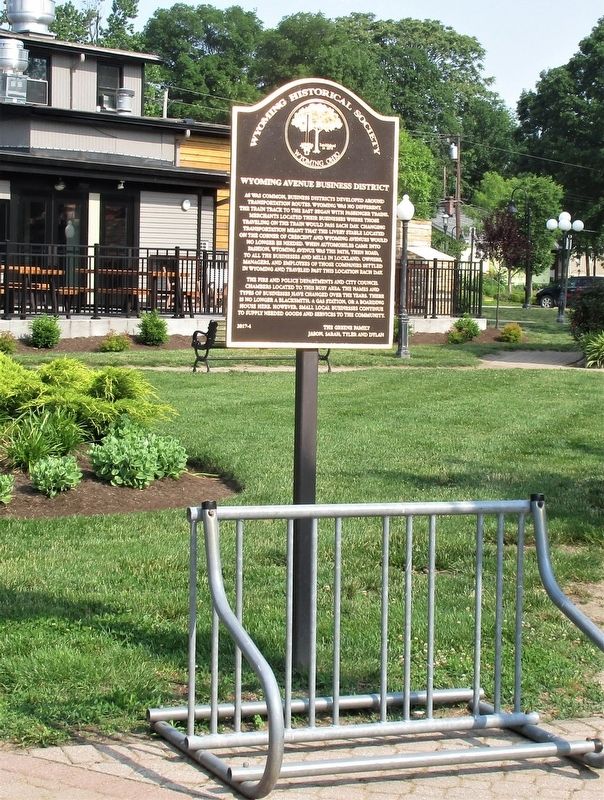
2. Wyoming Avenue Business District Marker
full view of marker, from sidewalk on Wyoming Avenue
Photographed by Rev. Ronald Irick, June 4, 2019
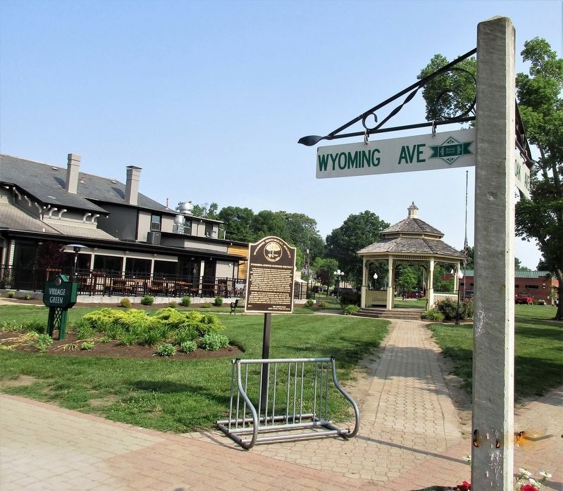
3. Wyoming Avenue Business District Marker
marker as seen in the Village Green Park
Photographed by Rev. Ronald Irick, June 4, 2019
4. Wyoming Avenue Business District Marker
seal of of the Wyoming Historical Society
Credits. This page was last revised on June 11, 2019. It was originally submitted on June 8, 2019, by Rev. Ronald Irick of West Liberty, Ohio. This page has been viewed 689 times since then and 55 times this year. Photos: 1, 2, 3, 4. submitted on June 8, 2019, by Rev. Ronald Irick of West Liberty, Ohio. • Bill Pfingsten was the editor who published this page.
