Ohio River Monument
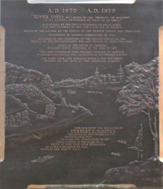
A.D. 1670 A.D. 1929
— The Ohio Valley Improvement Association —
“River Ohio so called by the Iroquois on account of its beauty- descended by Sieur Robert de la Salle.”
Discovered by the French explorer LaSalle, about 1670 and claimed by him for Louis XIV of France.
Seized by the British as the result of the French and Indian War 1755- 1762
Descended by George Washington in 1770.
Included in the territory of the United States as the result of the Revolutionary War and Treaty of Paris , 1776- 1783
Saved to the Union by General William Henry Harrison in the War of 1812.
The first steamboat “New Orleans” piloted by Captain Nicholas J. Roosevelt was launched at Pittsburg A.D. 1811.
For more than 200 years it was the great highway to the west of the American pioneer.
This monument was dedicated by Herbert C. Hoover President of the United States October 22nd, 1929 to mark the completion of the canalization of the Ohio River to a depth of nine feet from Pittsburg to Cairo. A distance of nine hundred and eighty miles.
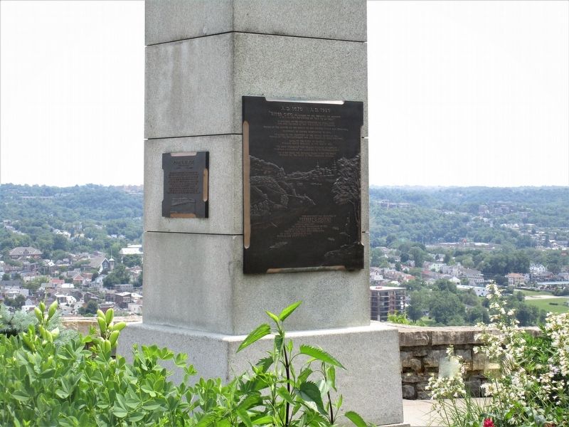
Plaque B
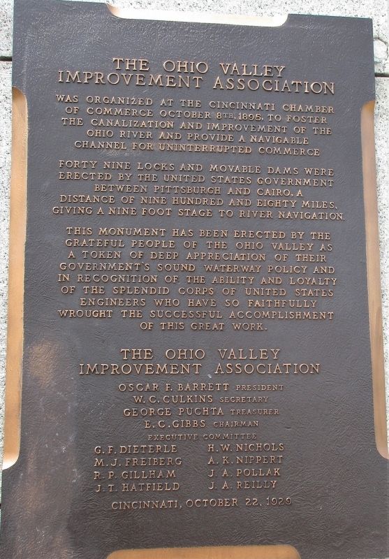
The Ohio Valley Improvement Association was organized at the Cincinnati Chamber of Commerce October 8th, 1895, to foster the canalization and improvement of the Ohio River and provide a navigable channel for uninterrupted commerce
Forty nine locks and movable
dams were erected by the United States government between Pittsburg and Cairo, a distance of nine hundred and eighty miles, giving a nine foot stage to river navigation.This monument has been erected by the grateful people of the Ohio Valley as a token of their deep appreciation of their government’s sound waterway policy and in recognition of the ability and loyalty of the splendid corps of United States Engineers who have so faithfully wrought the successful accomplishment of this work.
The Ohio Valley Improvement Association
Oscar F. Barrett, president
W.C. Culkins, secretary
George Puchta, treasurer
E.C. Gibbs, chairman
executive committee
G.F. Dieterle H.W. Nichols
M.J. Freiberg A.K. Nippert
R.P. Gillham J.A. Pollak
J.T. Hatfield J.A. Reilly
Cincinnati, October 22nd, 1929
Erected 1929 by The Ohio Valley Improvement Association Herbert Hoover, President of the United States.
Topics and series. This historical marker and monument is listed in this topic list: Waterways & Vessels. In addition, it is included in the Former U.S. Presidents: #09 William Henry Harrison, and the Former U.S. Presidents: #31 Herbert Hoover series lists.
Location. 39° 6.98′ N, 84° 29.299′ W. Marker is in Cincinnati, Ohio
Other nearby markers. At least 8 other markers are within walking distance of this marker. Albert Bettinger (here, next to this marker); John L. Vance (here, next to this marker); Donald A Spencer Overlook (here, next to this marker); Battery F, 136th Field Artillery, A.E.F. (within shouting distance of this marker); Eden Park Vietnam Memorial (about 600 feet away, measured in a direct line); Frederick W. Galbraith (about 800 feet away); Cornelia C. Davis (approx. 0.6 miles away); The Verona (approx. 0.6 miles away). Touch for a list and map of all markers in Cincinnati.
Credits. This page was last revised on June 12, 2019. It was originally submitted on June 10, 2019, by Rev. Ronald Irick of West Liberty, Ohio. This page has been viewed 744 times since then and 84 times this year. Photos: 1, 2, 3, 4. submitted on June 10, 2019, by Rev. Ronald Irick of West Liberty, Ohio. • Andrew Ruppenstein was the editor who published this page.


