Montrose near Glendale in Los Angeles County, California — The American West (Pacific Coastal)
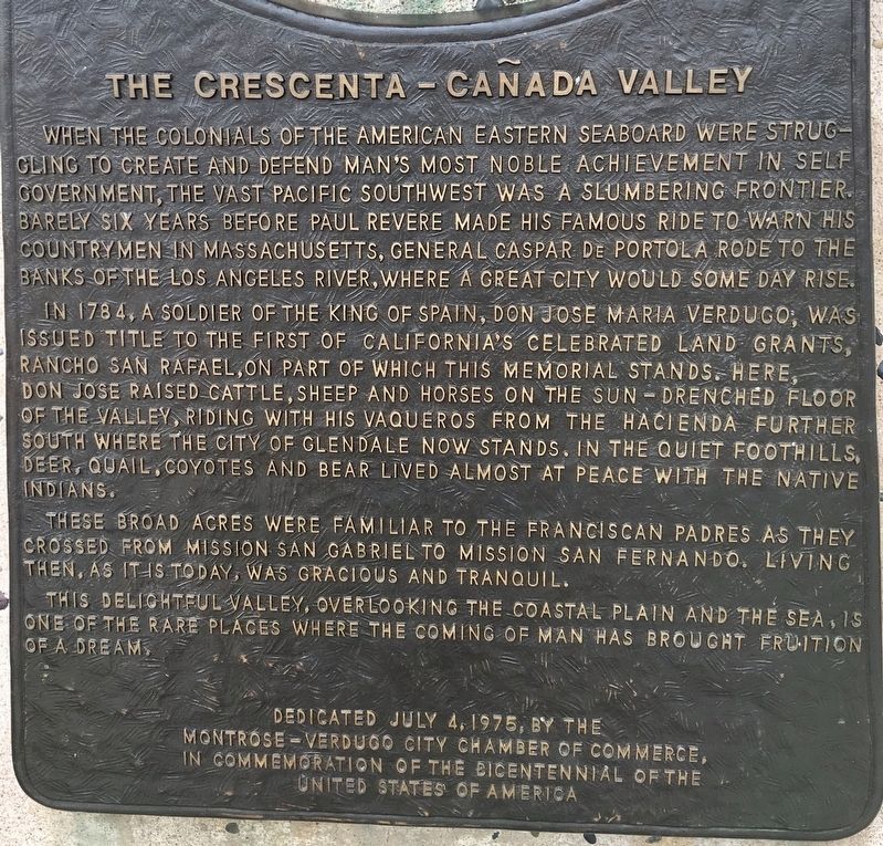
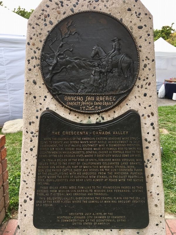
The Crescenta-Cañada Valley
In 1784, a soldier of the King of Spain, Don Jose Maria Verdugo, was issued title to the first of California’s celebrated land grants, Rancho San Rafael, on part of which this memorial stands. Here, Don Jose raised cattle, sheep and horses on the sun-drenched floor of the valley, riding with his vaqueros from the hacienda further south where the city of Glendale now stands. In the quiet foothills, deer, quail, coyotes and bear lived almost at peace with the Native Indians.
These broad acres were familiar to the Franciscan Padres as they crossed from Mission San Gabriel to Mission San Fernando. Living then, as it is today, was gracious and tranquil.
This delightful valley, overlooking the coastal plain and the sea , is one of the rare places where the coming of man has brought fruition of a dream.
Erected 1975 by Montrose - Verdugo City Chamber of Commerce .
Topics. This historical marker is listed in these topic lists: Hispanic Americans • Settlements & Settlers. A significant historical year for this entry is 1784.
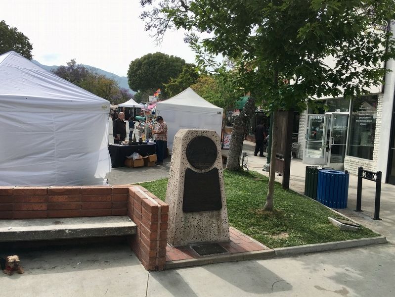
Location. 34° 12.34′ N, 118° 13.698′ W. Marker is near Glendale, California, in Los Angeles County. It is in Montrose. Marker is at the intersection of Honolulu Avenue and Ocean View Boulevard, on the right when traveling west on Honolulu Avenue. Touch for map. Marker is at or near this postal address: 2301 Honolulu Ave, Montrose CA 91020, United States of America. Touch for directions.
Other nearby markers. At least 8 other markers are within 2 miles of this marker, measured as the crow flies. National Flag Week (here, next to this marker); Montrose Vietnam War Memorial (here, next to this marker); The Great Flood of 1934 (approx. 0.7 miles away); Descanso Gardens (approx. 0.9 miles away); Bonetto House (approx. one mile away); St. Luke’s of the Mountains (approx. 1.1 miles away); a different marker also named Descanso Gardens (approx. 1.2 miles away); The Bell of La Crescenta Elementary School (approx. 1.3 miles away). Touch for a list and map of all markers in Glendale.
Credits. This page was last revised on March 21, 2024. It was originally submitted on June 11, 2019, by Craig Baker of Sylmar, California. This page has been viewed 311 times since then and 43 times this year. Photos: 1, 2, 3. submitted on June 11, 2019, by Craig Baker of Sylmar, California. • Andrew Ruppenstein was the editor who published this page.


