Townsend in McIntosh County, Georgia — The American South (South Atlantic)
Fort Barrington
»— 10 →
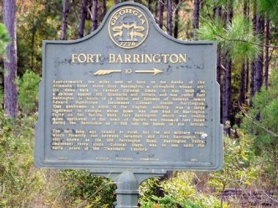
Photographed by Mike Stroud, November 2, 2008
1. Fort Barrington Marker
The fort long ago ceased to exist, but the old military road which formerly ran between Savannah and Fort Barrington is still known as the Old Barrington Road. Barrington Ferry, important ferry since Colonial Days, was in use until the early years of the Twentieth Century.
Erected 1954 by Georgia Historical Commission. (Marker Number 095-2.)
Topics and series. This historical marker is listed in these topic lists: Colonial Era • Forts and Castles
this page online
Location. 31° 34.621′ N, 81° 34.009′ W. Marker is in Townsend, Georgia, in McIntosh County. It is on State Highway 57, on the right when traveling south. Marker is 3.7 miles north of Townsend, Ga at the McIntosh - Long County line. Touch for map. Marker is in this post office area: Townsend GA 31331, United States of America. Touch for directions.

Regionally, this marker is on the Coastal Plain and on the Georgia Coast and the Golden Isles. It is also in the American South, specifically in the Deep South, and on the Eastern Seaboard. Globally, it is in the North Atlantic Region, North America, the Western Hemisphere, the Western World, and the Anglosphere. Historically, it finds itself in what was once New Spain, the territory of the Mississippian Culture, one of the original Thirteen Colonies, one of the Confederate States of America, and the Antebellum South.
Other nearby markers. At least 8 other markers are within 11 miles of this marker, measured as the crow flies: Rice Hope
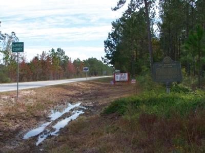
Photographed by Mike Stroud, 2008
2. Fort Barrington Marker, looking southward along GA-57
Other markers no longer nearby. Capture of 23 Old Men in 1864 (was approx. 9.3 miles away but has been reported to have been replaced with another marker now near it); Old Meeting House (was approx. 9.8 miles away but has been confirmed missing); Old Barrington Road (was approx. 9.9 miles away but has been confirmed missing).
Regarding Fort Barrington. Today, time has claimed the wooden fort, and the river has eroded half the earthworks. A hunting club owns the remaining earthworks, and unfortunately a private boat ramp runs down the middle of the fort. Nearby, Barrington County Park is open to the general public for boat launches, tent or RV camping, or a quiet picnic.
The historic fort is on private
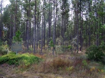
Photographed by Mike Stroud, 2008
3. Fort Barrington Marker, looking westward, the direction of the Marker Arrow
Credits. This page was last revised on June 16, 2016. It was originally submitted on November 12, 2008, by Mike Stroud of Bluffton, South Carolina. This page has been viewed 2,151 times since then and 68 times this year. Photos: 1, 2, 3. submitted on November 12, 2008, by Mike Stroud of Bluffton, South Carolina. • Kevin W. was the editor who published this page.
