
Chelsea in Manhattan in New York County, New York — The American Northeast (Mid-Atlantic)
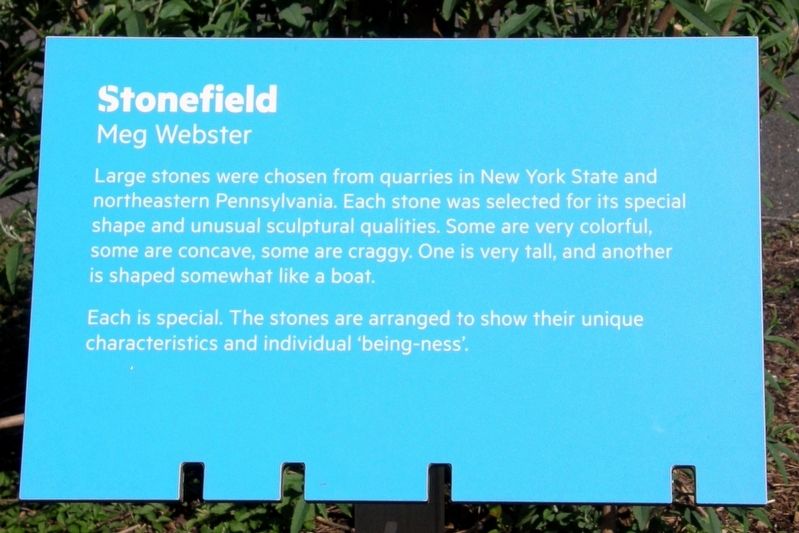
Stonefield
Meg Webster
Photographed by Larry Gertner, May 6, 2019
1. Stonefield Marker
Each is special. The stones are arranged to show their unique characteristics and individual ‘being-ness’.
Topics. This historical marker is listed in these topic lists: Arts, Letters, Music • Parks & Recreational Areas.
Location. 40° 45.014′ N, 74° 0.54′ W. Marker is in Manhattan, New York, in New York County. It is in Chelsea. It can be reached from Twelfth Avenue near West 24th Street. Touch for map. Marker is at or near this postal address: Hudson River Park, New York NY 10011, United States of America. Touch for directions.

Regionally, this marker is in New York City. It is also in the American Northeast, in the Mid-Atlantic, and on the Eastern Seaboard. Globally, it is in the North Atlantic Region, North America, the Western Hemisphere, the Western World, and the Anglosphere.
this page online
Other nearby markers. At least 8 other markers are within walking distance of this marker: Lightship FRYING PAN (about 700 feet away, measured in a direct line); George Brinton McClellan, Jr (1865-1940) (approx. 0.2 miles away); a different marker also named Clement Clarke Moore Park (approx. 0.3 miles away); Adam Cohen (approx. 0.3 miles away); Neighborhood Seniors (approx. 0.4 miles away); Death Avenue (approx. 0.4 miles away); Charles Mary Kubricht (b. 1946) (approx. 0.4 miles away); Chelsea Historic District and District Extension (approx. 0.4 miles away). Touch for a list and map of all markers in Manhattan.
Other markers no longer nearby. Clement Clarke Moore Park (was approx. 0.3 miles away but has been replaced with another marker now near it); a different marker also named Clement Clarke Moore Park (was approx. 0.3 miles away but has been replaced with another marker now near it).

Photographed by Larry Gertner, May 6, 2019
2. Stonefield and Marker.
Credits. This page was last revised on May 23, 2024. It was originally submitted on June 12, 2019, by Larry Gertner of New York, New York. This page has been viewed 237 times since then and 16 times this year. Photos: 1, 2. submitted on June 12, 2019, by Larry Gertner of New York, New York. • Bill Pfingsten was the editor who published this page.
