Dyer in Esmeralda County, Nevada — The American Mountains (Southwest)
Fish Lake Valley
Photographed by Paulette Nelson, June 13, 2019
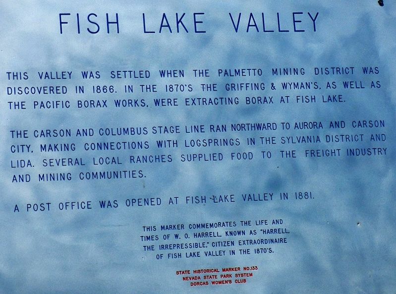
1. Fish Lake Valley Marker
The Carson and Columbus Stage Line ran northward to Aurora and Carson City, making connections with Log Springs in the Sylvania District and Lida. Several local ranches supplied food to the freight industry and mining communities.
A post office was opened in Fish Lake Valley in 1881.
Erected by Dorcas Women's Club. (Marker Number 133.)
Topics. This historical marker is listed in these topic lists: Agriculture • Settlements & Settlers. A significant historical year for this entry is 1866.
Location. 37° 41.637′ N, 118° 5.417′ W. Marker is in Dyer, Nevada, in Esmeralda County. It is on Blue Bird Road (Nevada Route 264), on the left when traveling north. Touch for map. Marker is in this post office area: Dyer NV 89010, United States of America. Touch for directions.

Regionally,
this page online
Other nearby markers. At least one other marker is within 13 miles of this marker, measured as the crow flies: The Patriarch (approx. 12.9 miles away in California).
More about this marker. The marker is in excellent shape at this time. NO.133 is included in the Nevada State Historic Preservation list of markers at: http://shpo.nv.gov/nevadas-historical-markers/historical-markers
Photographed by Paulette Nelson, June 13, 2019
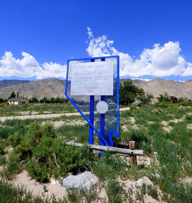
2. Fish Lake Valley Marker
Credits. This page was last revised on June 15, 2019. It was originally submitted on June 14, 2019, by Paulette Nelson of N Las Vegas, Nevada. This page has been viewed 554 times since then and 49 times this year. Photos: 1, 2. submitted on June 14, 2019, by Paulette Nelson of N Las Vegas, Nevada. • Syd Whittle was the editor who published this page.
