Southernside in Greenville in Greenville County, South Carolina — The American South (South Atlantic)
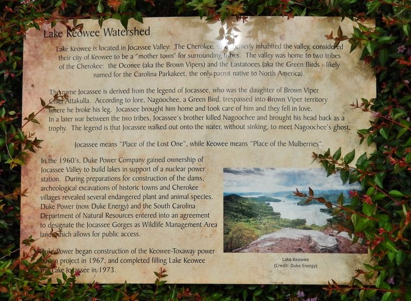
Lake Keowee Watershed
Photographed by Cosmos Mariner, May 6, 2019
1. Lake Keowee Watershed Marker
The name Jocassee is derived from the legend of Jocassee, who was the daughter of Brown Viper Chief Attakulla. According to lore, Nagoochee, a Green Bird, trespassed into Brown Viper territory where he broke his leg. Jocassee brought him home and took care of him and they fell in love. In a later war between the two tribes, Jocassee's brother killed Nagoochee and brought his head back as a trophy. The legend is that Jocassee walked out onto the water, without sinking, to meet Nagoochee's ghost.
Jocassee means "Place of the Lost One", while Keowee means "Place of the Mulberries".
In the 1960's, Duke Power Company gained ownership of Jocassee Valley to build lakes in support of a nuclear power station. During preparations for construction of the
this page online
Duke Power began construction of the Keowee-Toxaway power project in 1967, and completed filling Lake Keowee and Lake Jocassee in 1973.
Topics. This historical marker is listed in these topic lists: Indigenous Peoples and Communities • Natural Resources.
Location. 34° 51.164′ N, 82° 24.317′ W. Marker is in Greenville, South Carolina, in Greenville County. It is in Southernside. It is at the intersection of West Broad Street and West Washington Street, on the right when traveling south on West Broad Street. Marker is located in an interpretive plaza at the southwest corner of the intersection. Touch for map. Marker is at or near this postal address: 407 West Broad Street, Greenville SC 29601, United States of America. Touch for directions.

Regionally,
Photographed by Duke Energy
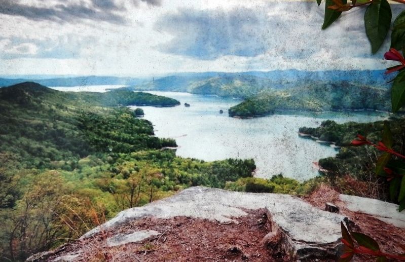
2. Marker detail: Lake Keowee
Other nearby markers. At least 8 other markers are within walking distance of this marker: Reverence for Water: Feeding the Body, Feeling the Spirit (here, next to this marker); Table Rock Watershed (a few steps from this marker); Cherokee in the Upcountry / Beginnings of Greenville Water (a few steps from this marker); Saluda (Poinsett) Watershed (a few steps from this marker); Prospect Hill Park Monument (about 400 feet away, measured in a direct line); Votes for Women (about 400 feet away); Prospect Hill / McBee Homestead (about 500 feet away); St Mary's Catholic Church (about 600 feet away). Touch for a list and map of all markers in Greenville.
Related markers.
Photographed by Cosmos Mariner, May 6, 2019
3. Lake Keowee Watershed Marker
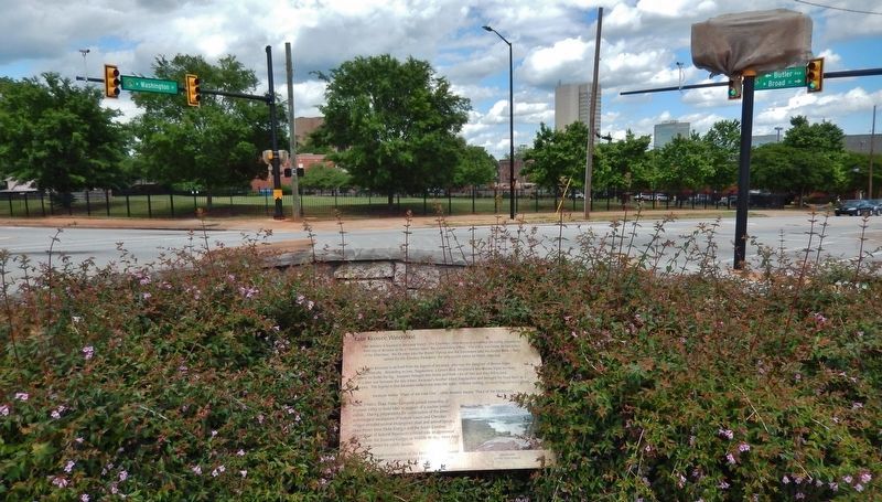
(wide view • Washington/Broad intersection in background)
(wide view • Washington/Broad intersection in background)
Credits. This page was last revised on February 16, 2023. It was originally submitted on June 14, 2019, by Cosmos Mariner of Cape Canaveral, Florida. This page has been viewed 819 times since then and 45 times this year. Photos: 1, 2, 3. submitted on June 17, 2019, by Cosmos Mariner of Cape Canaveral, Florida.
