Cumberland Township near Gettysburg in Adams County, Pennsylvania — The American Northeast (Mid-Atlantic)
Jones's Brigade
Johnson's Division - Ewell's Corps
— Army of Northern Virginia —
Army of Northern Virginia
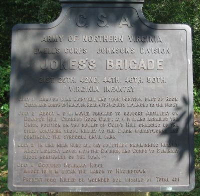
Ewell's Corps Johnson's Division
Jones's Brigade
21st. 25th. 42nd. 44th. 48th. 50th.
Virginia Infantry
July 1 Arrived near nightfall and took position east of Rock Creek and north of Hanover Road with pickets advanced to the front.
July 2 About 4 p.m. moved forward to support Artillery on Benner's Hill. Crossed Rock Creek at 6 p.m. and assailed the Union position on the summit of Culp's Hill charging up the steep northern slope nearly to the Union breastworks and continuing the struggle until dark.
July 3 In line near here all day sometimes skirmishing heavily. About midnight moved with the Division and Corps to Seminary Ridge northwest of the town.
July 4 Occupied Seminary Ridge. About 10 p.m. began the march to Hagerstown.
Present 1600. Killed 58, wounded 302, missing 61. Total 421.
Erected 1910 by Gettysburg National Military Park Commission.
Topics. This historical marker is listed in this topic list: War, US Civil. A significant historical month for this entry is July 1961.
Location. 39° 49.342′ N, 77° 13.206′ W. Marker is near Gettysburg, Pennsylvania, in Adams County. It is in Cumberland Township. Marker is on East Confederate Avenue, on the left when traveling south. Located on the road up to Culp's Hill, Stop 13 on the driving tour of Gettysburg National Military Park. Touch for map. Marker is in this post office area: Gettysburg PA 17325, United States of America. Touch for directions.
Other nearby markers. At least 8 other markers are within walking distance of this marker. Nicholls's Brigade (about 600 feet away, measured in a direct line); 7th Indiana Infantry (about 800 feet away); 76th New York Infantry (about 800 feet away); 95th New York Infantry (about 800 feet away); Battlefield Landmarks - North and West (approx. 0.2 miles away); 66th Ohio Infantry (approx. 0.2 miles away); Battery K, Fifth U.S. Artillery (approx. 0.2 miles away); Battlefield Landmarks - South and West (approx. 0.2 miles away). Touch for a list and map of all markers in Gettysburg.
Also see . . . Report of Brig. Gen. J. M. Jones. Concerning the action on Culp's Hill, Jones wrote:
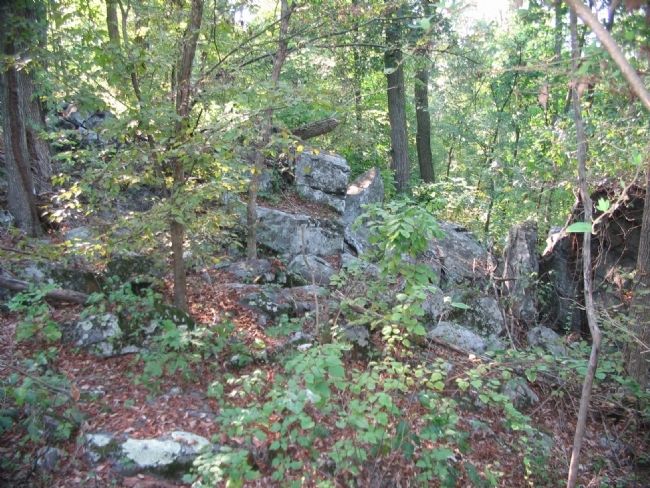
At this time, the major-general commanding arrived upon the hill occupied by the artillery, and after a short time directed me to form my brigade in line, to move forward where Nicholls' brigade had formed on my left, and to attack the enemy in his position on the opposite hill. The brigade advanced in good order, moving down the slope of the hill, across the bottom (Gettysburg Creek), and up the hill occupied by the enemy. The hill was steep, heavily timbered, rocky, and difficult of ascent. As the brigade advanced, a few shells were thrown from the batteries on the right, though but little damage resulted from them. My men gained ground steadily to the front, under a heavy fire of musketry from the enemy, protected by intrenchments. There was at one time some confusion toward the left, which I corrected as rapidly as possible. This confusion consisted in the mixing up of the files and the derangement of the general line, and was, perhaps, unavoidable from the lateness of the hour at which the advance was made, the darkness in the woods, and the nature of the hill. When near the first line of intrenchments, moving with my troops, I received a flesh wound through the thigh, the excessive hemorrhage from which rendered it necessary for me to be borne from the field, and the command of the brigade devolved upon Lieutenant-Colonel Dungan, Col. J. C. Higginbotham having been previously wounded. The brigade acted with efficiency while I was with it. (Submitted on November 12, 2008, by Craig Swain of Leesburg, Virginia.)

Photographed By Craig Swain, September 17, 2008
3. Jones' Brigade Advances up Culp's Hill
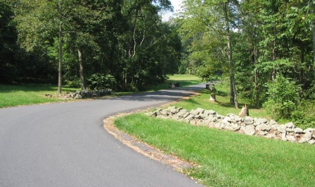
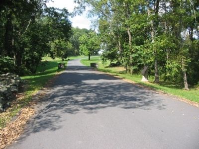
Looking north past the tablet location. Jones' Brigade advanced from Benner's Hill and crossed Rock Creek, just to the east of this point. The Brigade then crossed through this general area while advancing up the northeast slope of Culp's Hill. The stone wall to the right is noted on some tour guides as "Jones' Breastworks" and may have been used in later stages of the battle.
Credits. This page was last revised on February 7, 2023. It was originally submitted on November 12, 2008, by Craig Swain of Leesburg, Virginia. This page has been viewed 792 times since then and 17 times this year. Photos: 1, 2, 3, 4. submitted on November 12, 2008, by Craig Swain of Leesburg, Virginia.


