Belfast, Northern Ireland, United Kingdom — Northwestern Europe (the British Isles)
The Poop Deck
Nomadic
Photographed by William Fischer, Jr., May 14, 2019
1. The Poop Deck Marker
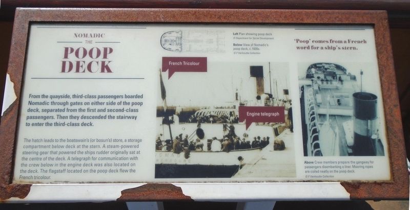
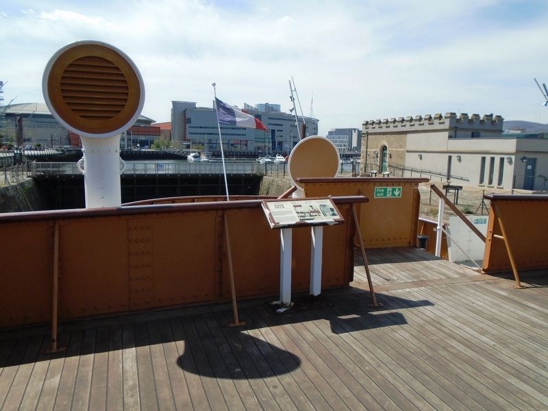
The hatch leads to the boatswain's (or bosun's) store, a storage compartment below deck at the stern. A steam-powered steering gear that powered the ship[']s rudder originally sat at the centre of the deck. A telegraph for communication with the crew below in the engine deck was also located on the deck. The flagstaff located on the poop deck flew the French tricolor.
'Poop' comes from a French word for a ship's stern.
[Illustration captions, from top to bottom, read]
Left Plan showing poop deck
Below View of Nomadic's poop deck, c.1920s.
Above Crew members prepare the gangway for passengers disembarking a liner. Mooring ropes are coiled neatly on the poop deck.
Topics. This historical marker is listed in this topic list: Waterways & Vessels.
Location. 54° 36.371′ N, 5° 54.682′ W. Marker is in Belfast, Northern Ireland. It is on Queens Road, on
this page online

Regionally, this marker is in Armagh, Banbridge & Craigavon, and in Belfast. Globally, it is on the Atlantic Ocean, in the North Atlantic Region, in Europe, on the Island of Ireland, on the Celtic Fringe, in Atlantic Europe, on one of the British Isles, in the Western World, and in the Anglosphere.
Other nearby markers. At least 8 other markers are within walking distance of this marker: Hamilton Dock Stone Construction (a few steps from this marker); Hamilton Dock By Numbers (a few steps from this marker); Building the Dock 1864-1867 / Belfast's Industrial Growth (a few steps from this marker); Nomadic in Hamilton Dock (within shouting distance of this marker); Queen's Island Shipyard / Belfast's Industrial Growth (within shouting distance of this marker); Building the Dock 1864-1867 / Hamilton Dock (within shouting distance of this marker); a different marker also named Hamilton Dock Stone Construction
Photographed by William Fischer, Jr., May 14, 2019
2. The Poop Deck Marker
Also see . . .
1. SS Nomadic. (Submitted on June 16, 2019, by William Fischer, Jr. of Reynoldsburg, Ohio.)
2. Poop deck at Wikipedia. (Submitted on June 16, 2019, by William Fischer, Jr. of Reynoldsburg, Ohio.)
Photographed by William Fischer, Jr., May 14, 2019
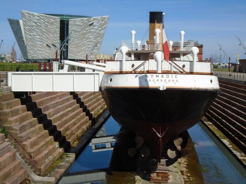
3. SS Nomadic Stern Poop Deck
Credits. This page was last revised on September 7, 2022. It was originally submitted on June 16, 2019, by William Fischer, Jr. of Reynoldsburg, Ohio. This page has been viewed 544 times since then and 44 times this year. Photos: 1, 2, 3. submitted on June 16, 2019, by William Fischer, Jr. of Reynoldsburg, Ohio.
