Belfast, Northern Ireland, United Kingdom — Northwestern Europe (the British Isles)
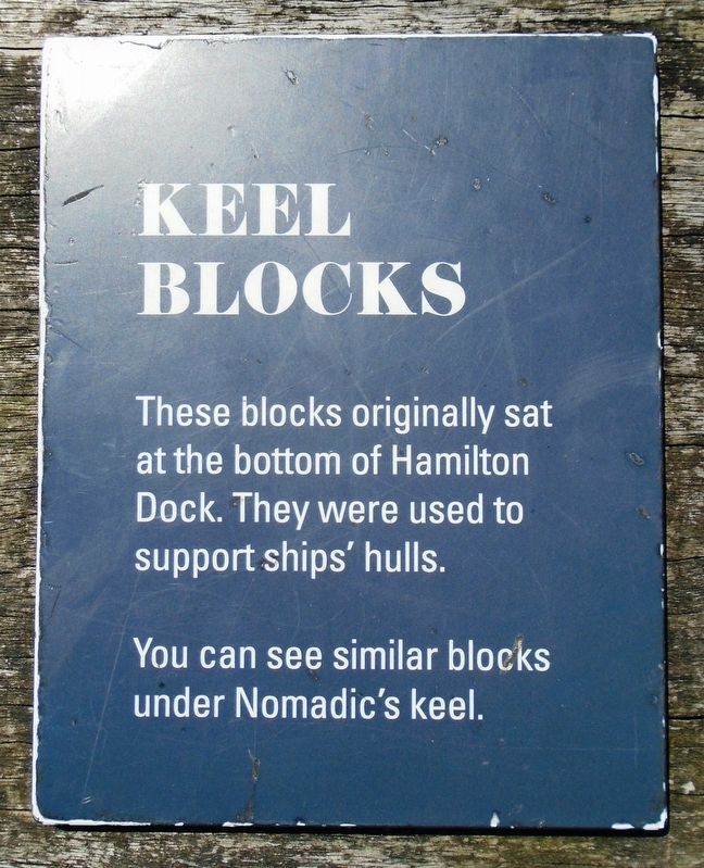
Keel Blocks
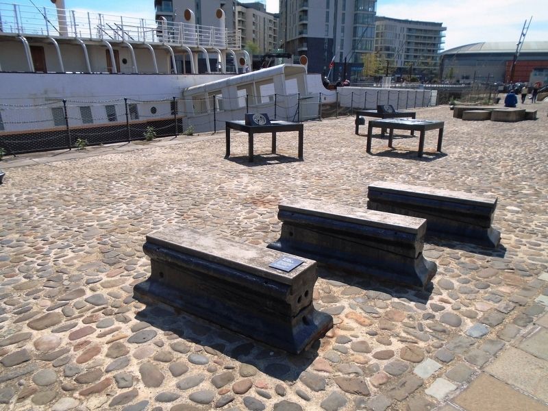
They were used to support ships' hulls.
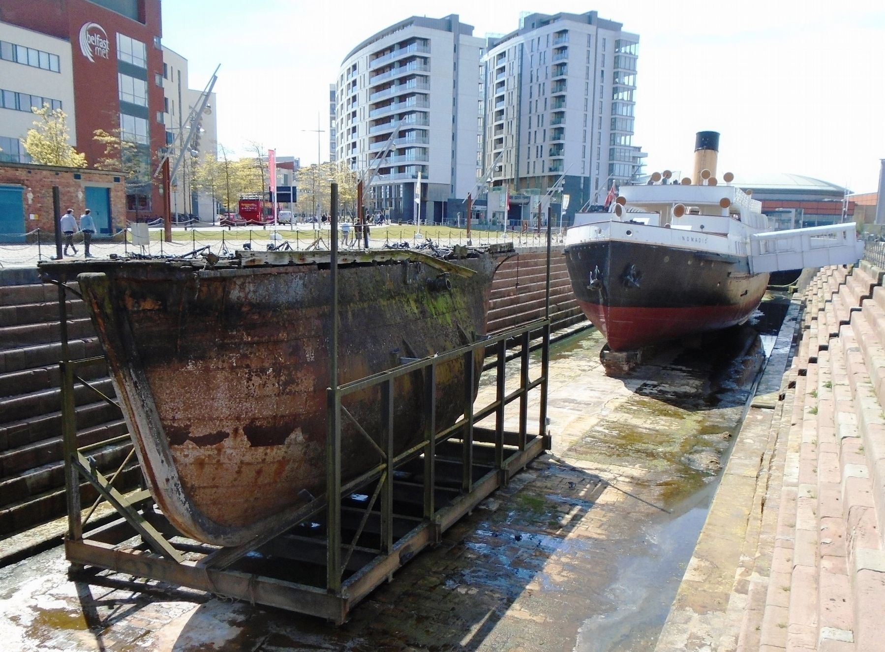
You can see similar blocks under Nomadic's keel.
Topics. This historical marker is listed in these topic lists: Industry & Commerce • Waterways & Vessels.
Location. 54° 36.391′ N, 5° 54.683′ W. Marker is in Belfast, Northern Ireland. Marker is on Queens Road, on the left when traveling north. Part of the Titanic Belfast complex. Touch for map. Marker is at or near this postal address: Hamilton Dock, Belfast, Northern Ireland BT3 9DT, United Kingdom. Touch for directions.
Other nearby markers. At least 8 other markers are within walking distance of this marker. Bigger Ships and Bigger Docks (here, next to this marker); The Dockside: A Hive of Activity (here, next to this marker); Features of the Dock (here, next to this marker); Hamilton Dock: Refurbishment and Restoration (here, next to this marker); Operating the [Hamilton] Dock (a few steps from this marker); Nomadic in Hamilton Dock (a few steps from this marker); On Board SS Nomadic (a few steps from this marker); Hamilton Dock Stone Construction (a few steps from this marker). Touch for a list and map of all markers in Belfast.
Also see . . .
1. The Hamilton Graving Dock. (Submitted on June 17, 2019, by William Fischer, Jr. of Scranton, Pennsylvania.)
2. Dry Docking – Marine Engineering . (Submitted on June 17, 2019, by William Fischer, Jr. of Scranton, Pennsylvania.)
Credits. This page was last revised on September 7, 2022. It was originally submitted on June 17, 2019, by William Fischer, Jr. of Scranton, Pennsylvania. This page has been viewed 163 times since then and 6 times this year. Photos: 1, 2, 3. submitted on June 17, 2019, by William Fischer, Jr. of Scranton, Pennsylvania.


