Bacalar, Quintana Roo, Mexico — The Yucatan Peninsula (The Southeast)
Bacalar - 1729
Pueblo Mágico
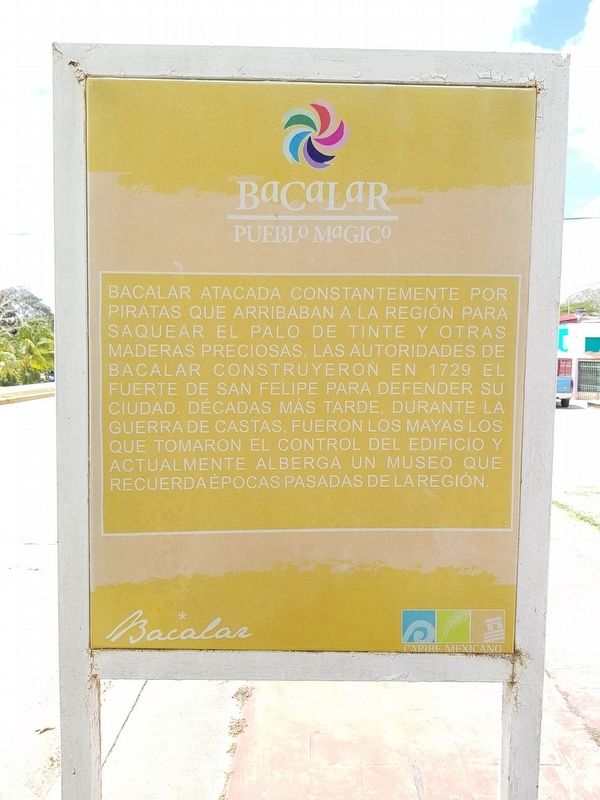
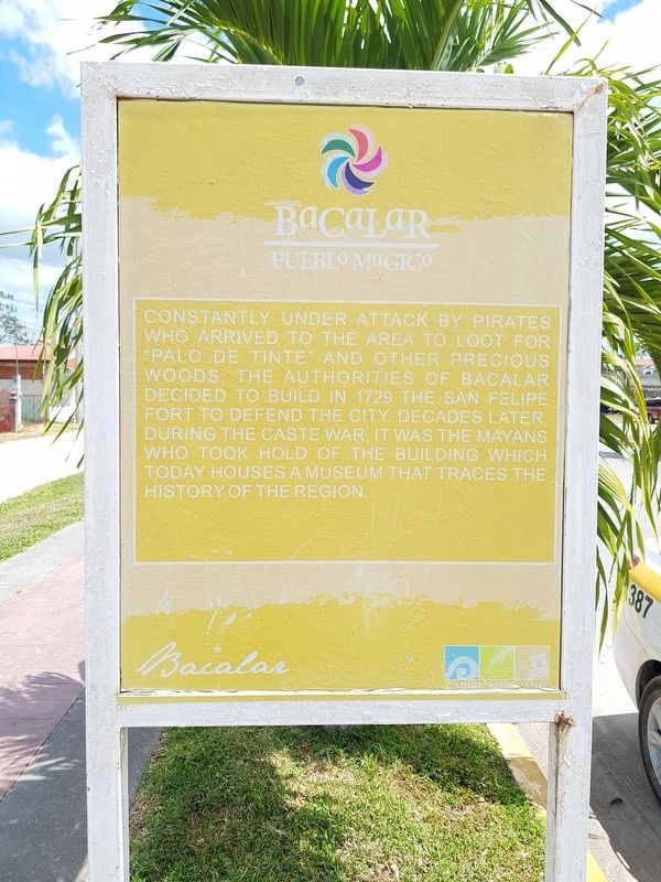
Constantly under attack by pirates who arrived to the area to loot for “palo de tinte” and other precious woods, the authorities of Bacalar decided to build in 1729 the San Felipe Fort to defend the city. Decades later, during the Caste War, it was the Mayans who took hold of the building, which today houses a museum that traces the history of the region.
Topics. This historical marker is listed in these topic lists: Forts and Castles • Native Americans • Settlements & Settlers • Wars, Non-US. A significant historical year for this entry is 1729.
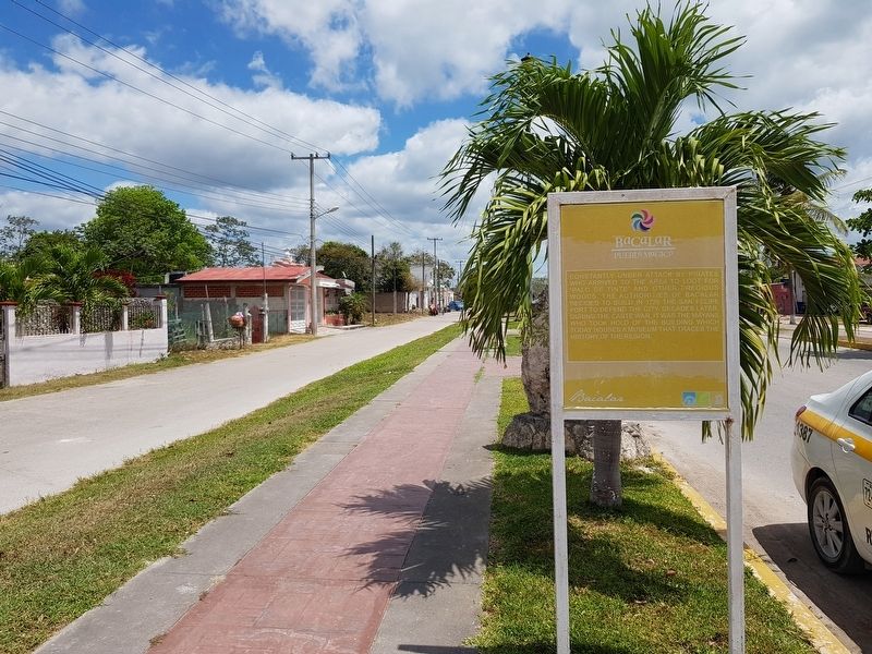
Location. 18° 40.258′ N, 88° 23.721′ W. Marker is in Bacalar, Quintana Roo. Marker is at the intersection of Avenida Adolfo López Mateos and Calle 6, on the left when traveling north on Avenida Adolfo López Mateos. Touch for map. Marker is in this post office area: Bacalar QR 77930, Mexico. Touch for directions.
Other nearby markers. At least 8 other markers are within walking distance of this marker. Pre-Columbian Time, End of Period (about 90 meters away, measured in a direct line); Cenotes, Fresh Water Supply (about 120 meters away); Bacalar (about 210 meters away); a different marker also named Bacalar (about 240 meters away); Bel Itzá, or Path of the Itzaes (about 240 meters away); a different marker also named Bacalar (about 240 meters away); K'atunes or Periods of History (approx. 0.3 kilometers away); Pre-Columbian Bacalar, Foundation (approx. half a kilometer away). Touch for a list and map of all markers in Bacalar.
Credits. This page was last revised on June 22, 2019. It was originally submitted on June 22, 2019, by J. Makali Bruton of Accra, Ghana. This page has been viewed 76 times since then and 7 times this year. Photos: 1, 2, 3. submitted on June 22, 2019, by J. Makali Bruton of Accra, Ghana.


