
State College in Centre County, Pennsylvania — The American Northeast (Mid-Atlantic)
Atmospheric Research
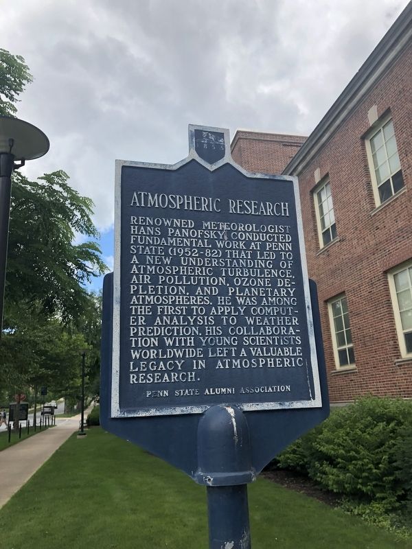
Erected by Penn State Alumni Association.
Topics and series. This historical marker is listed in these topic lists: Air & Space • Science & Medicine. In addition, it is included in the Pennsylvania State University series list.
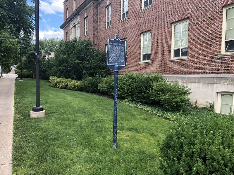
Location. 40° 47.664′ N, 77° 51.964′ W. Marker is in State College, Pennsylvania, in Centre County. It is on Burrowes Road south of Pollock Road, on the left when traveling south. Touch for map. Marker is in this post office area: University Park PA 16802, United States of America. Touch for directions.

Regionally, this marker is in the Pennsylvania Wilds. It is also in the American Northeast, in the Mid-Atlantic, in Appalachia, and specifically in Northern Appalachia. Globally, it is
this page online
Other nearby markers. At least 8 other markers are within walking distance of this marker: The Alpha Chi Chapter of Sigma Chi (about 300 feet away, measured in a direct line); Driver Education (about 400 feet away); PENNSTAC (about 500 feet away); Ionospheric Research (about 700 feet away); R Values (about 700 feet away); Water Tunnel (about 800 feet away); The Daily Collegian (about 800 feet away); Wake Turbulence (approx. 0.2 miles away). Touch for a list and map of all markers in State College.
Credits. This page was last revised on June 22, 2019. It was originally submitted on June 22, 2019, by Devry Becker Jones of Washington, District of Columbia. This page has been viewed 279 times since then and 15 times this year. Photos: 1, 2. submitted on June 22, 2019, by Devry Becker Jones of Washington, District of Columbia.
