
Gate City in Scott County, Virginia — The American South (Mid-Atlantic)
Donelson's Indian Line
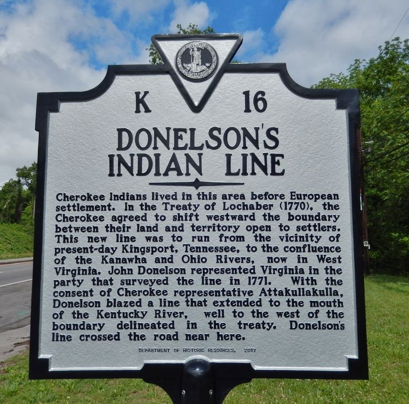
Photographed by Cosmos Mariner, May 13, 2019
1. Donelson's Indian Line Marker
Erected 2017 by Department of Historic Resources. (Marker Number K-16.)
Topics and series. This historical marker is listed in these topic lists: Indigenous Peoples and Communities • Settlements & Settlers. In addition, it is included in the Virginia Department of Historic Resources (DHR) series list. A significant historical year for this entry is 1771.
Location. 36° 38.272′ N, 82° 33.725′ W. Marker is in Gate City, Virginia, in Scott County. It is on U.S.
this page online

Regionally, this marker is in the Tri-Cities Area and in Southwest Virginia. It is also in the American South, specifically in the Upper South, in Appalachia, and specifically in Southern Appalachia. Globally, it is in North America, the Western Hemisphere, the Western World, and the Anglosphere. Historically, it finds itself in what was once the original Cherokee Nation, the territory of the Mississippian Culture, one of the original Thirteen Colonies, one of the Confederate States of America, and the Antebellum South.
Other nearby markers. At least 8 other markers are within walking distance of this marker: First Court of Scott County (here, next to this marker); Prospect Public School (here, next to this marker); Moccasin Gap (a few steps from this
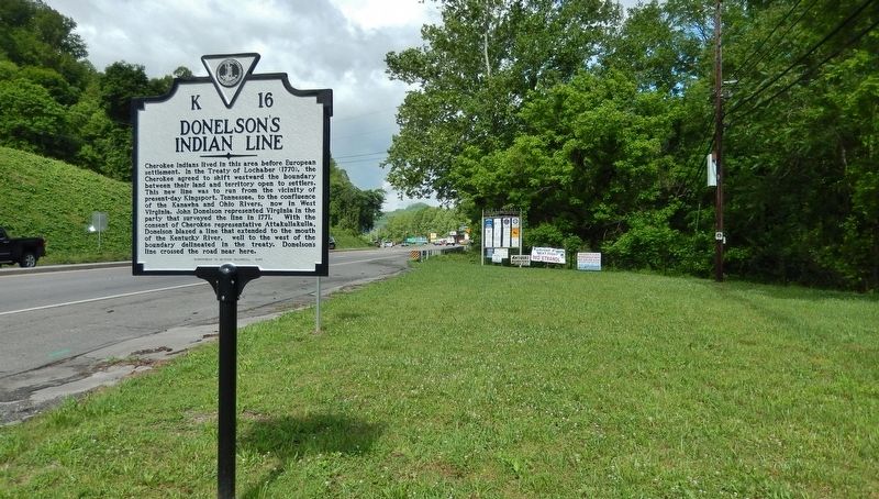
Photographed by Cosmos Mariner, May 13, 2019
2. Donelsons Indian Line Marker
(US Hwy 23 left; 5th from west of 5 markers at this location)
(US Hwy 23 left; 5th from west of 5 markers at this location)
Other markers no longer nearby. Donelson's Indian Line (was approx. 0.4 miles away but has been replaced with another marker now near it); Big Moccasin Gap (was approx. 0.4 miles away but has been replaced with another marker now near it); a different marker also named First Court of Scott County (was approx. 0.4 miles away but has been replaced with another marker now near it); McConnell's Birthplace (was approx. 0.4 miles away but has been replaced with another marker now near it).
Related marker. Click here for another marker that is related to this marker. Old Marker Located Nearby also titled "Donelson's Indian Line".
Credits. This page was last revised on February 12, 2025. It was originally submitted on June 22, 2019, by Cosmos Mariner of Cape Canaveral, Florida. This page has been viewed 1,503 times since then and 148 times this year. Photos: 1, 2. submitted on June 22, 2019, by Cosmos Mariner of Cape Canaveral, Florida.
