Taylor in Wayne County, Michigan — The American Midwest (Great Lakes)
Oak Grove Burying Ground
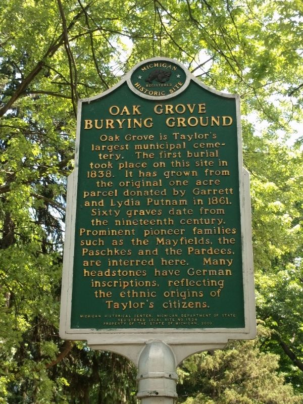
Photographed by Joel Seewald, June 26, 2019
1. Oak Grove Burying Ground Marker
Erected 2000 by Michigan Historical Center, Michigan Department of State. (Marker Number L1524.)
Topics and series. This historical marker is listed in these topic lists: Cemeteries & Burial Sites • Settlements & Settlers. In addition, it is included in the Michigan Historical Commission series list. A significant historical year for this entry is 1838.
Location. 42° 16.016′ N, 83° 16.509′ W. Marker is in Taylor, Michigan, in Wayne County. It is at the intersection of Burr Street and Avalon Street when traveling south on Burr Street. Touch for map. Marker is in this post office area: Taylor MI 48180, United States of America. Touch for directions.

Regionally, this marker is in Southeast
this page online
Other nearby markers. At least 8 other markers are within 3 miles of this marker, measured as the crow flies: Nowlin Cemetery / Nowlin Family (approx. half a mile away); Malcolm X Shabazz / Wilfred Little (approx. 2.1 miles away); Dearborn Hills Golf Club (approx. 2½ miles away); St. Joseph's Retreat (approx. 2½ miles away); Planning for People (approx. 2.6 miles away); Aaron Greeley / St. Cosme Line Road (approx. 2.7 miles away); Annapolis Park (approx. 2.8 miles away); Taylor Iraqi and Enduring Freedom Memorial (approx. 2.9 miles away).
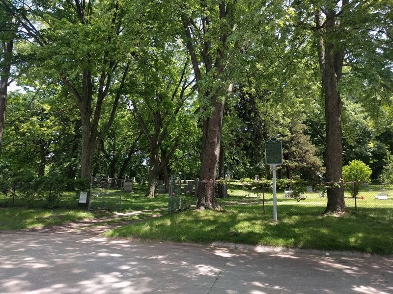
Photographed by Joel Seewald, June 26, 2019
2. Oak Grove Burying Ground and Marker
View looking east from the intersection of Avalon Street and Burr Street.
Credits. This page was last revised on June 26, 2019. It was originally submitted on June 26, 2019, by Joel Seewald of Madison Heights, Michigan. This page has been viewed 1,153 times since then and 85 times this year. Photos: 1, 2. submitted on June 26, 2019, by Joel Seewald of Madison Heights, Michigan.
