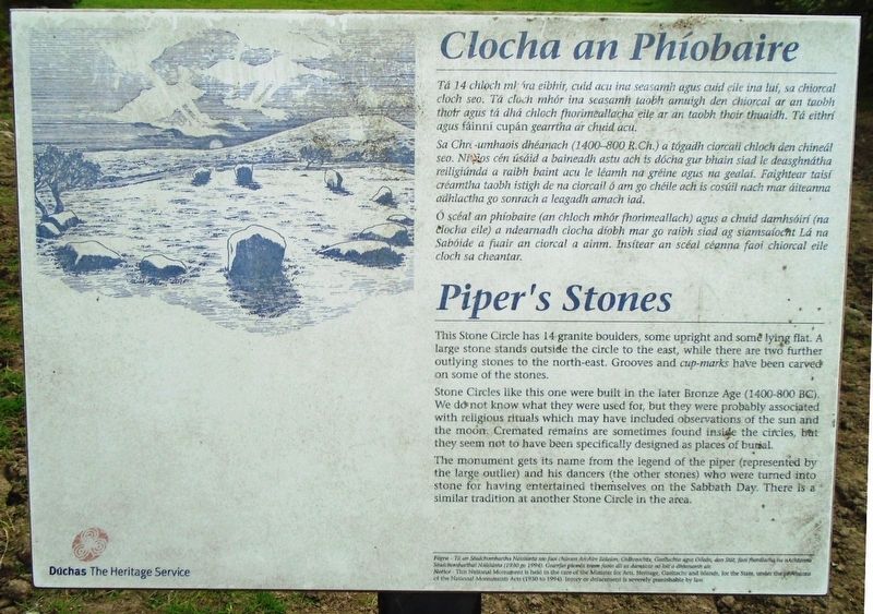
Clocha an Phiobaíre / Piper's Stones
Clocha an Phiobaíre
Tá 14 chloch mhóra eibhir, cuid acu ina seasamh agus cuid eile ina luí, so chiorcal cloch seo. Tá cloch mhór ina seasamh taobh amuigh den chiorcal ar an taobh thoir agus tá dhá chloch fhorimeallacha eile ar an taobh thoir thuaidh. Tá eithrí agus fáinní cupán gearrtha ar chuid acu.
Sa Chre-umhaois dhéanach (1400-800 R.Ch.) a tógadh ciorcail chloch den chineál seo. Ní[?]ios cén úsáid a baineadh astu ach is dócha gur bhain siad le deasghnátha reiligiúnda a raibh baint acu le léamh na gréine agus na gealaí. Faightear taisí créamtha taobh istigh de na ciorcail ó am go chéile ach is cosúil nach mar áiteanna adhlachta go sonrach a leagadh amach iad.
Ó scéal an phíobaire (an chloch mhór fhorimeallach) agus a chuid damhsóirí (na clocha eile) a ndearnadh clocha díobh mar go raibh siad ag siamsaíocht Lá na Sabóide a fuair an ciorcal a ainm. Insítear an scéal céanna faoi chiorcal eile cloch sa cheantar.
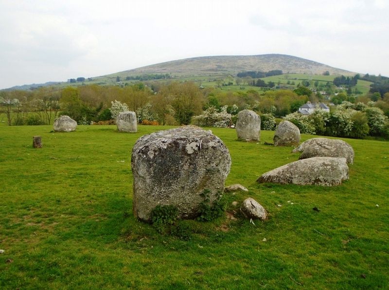
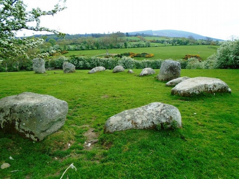
This Stone Circle has 14 granite boulders, some upright and some lying flat. A large stone stands outside the circle to the east, while there are two
Stone Circles like this one were built in the later Bronze Age (1400-800 BC). We do not know what they were used for, but they were probably associated with religious rituals which may have included observations of the sun and the moon. Cremated remains were sometimes found inside the circles, but they seem not to have been specifically designed as places of burial.
The monument gets its name from the legend of the piper (represented by the large outlier) and his dancers (the other stones) who were turned into stone for having entertained themselves on the Sabbath Day. There is a similar tradition at another Stone Circle in the area.
Erected by Dúchas The Heritage Service.
Topics. This historical marker is listed in these topic lists: Anthropology & Archaeology • Man-Made Features.
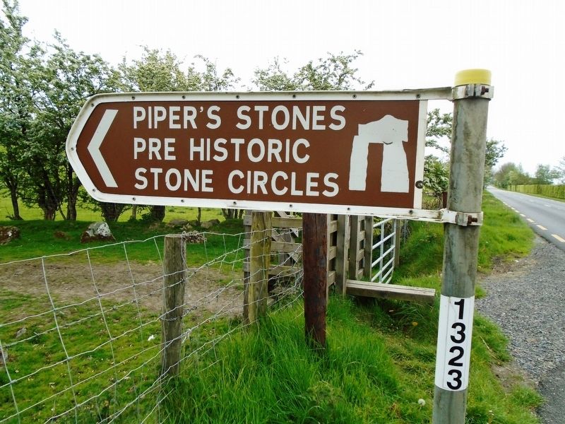
Location. 53° 4.361′ N, 6° 36.876′ W. Marker is near Athgreany, Leinster, in County Wicklow. Marker is on National Route N81, 3 kilometers south of Leinster Route R756, on the left when traveling south. Touch for map. Touch for directions.
Other nearby markers. At least 8 other markers are within 23 kilometers of this marker, measured as the crow flies. Ciorcal Cloch le Claífort Chaisleán an Ridire (approx. 9.1 kilometers away); Dwyer's Brook
Also see . . .
1. Athgreany Stone Circle: Piper's Stones. (Submitted on June 28, 2019, by William Fischer, Jr. of Scranton, Pennsylvania.)
2. Athgreany Stone Circle. (Submitted on June 28, 2019, by William Fischer, Jr. of Scranton, Pennsylvania.)
Credits. This page was last revised on June 28, 2019. It was originally submitted on June 28, 2019, by William Fischer, Jr. of Scranton, Pennsylvania. This page has been viewed 102 times since then and 9 times this year. Photos: 1, 2, 3, 4, 5, 6. submitted on June 28, 2019, by William Fischer, Jr. of Scranton, Pennsylvania.
