Ciorcal Cloch le Claífort Chaisleán an Ridire
Castleruddery Embanked Stone Circle
Ciorcal Cloch le Claífort Chaisleán an Ridire
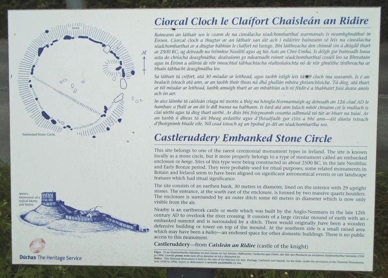
Baineann an láthair seo le ceann de na cineálacha séadchomharthaí searmanais is neamhghnáthaí in Éirinn. Ciorcal cloch a thugtar ar an láthair san áit ach i ndáirire baineann sé leis na cineálacha séadchomharthaí ar a dtugtar bábhún le claífort nó henge. Bhí láithreacha den chineál sin á dtógáil thart ar 2500 RC, ag deireadh na tréimhse Neoilití agus ag tús Aois an Chré-Umha. Is dóigh gur baineadh leasa astu do chríocha deasghnátha; dealraíonn go ndearnadh roinnt séadchomharthaí cosúil leo sa Bhreatain agus in Éirinn a ailíniú de réir imeachtaí tábhachtacha réalteolaíochta nó de réir ghnéithe tírdhreacha ar bhain tábhacht deasghnátha leo.
Sa láthair tá créfort, atá 30 méadar ar leithead, agus taobh istigh leis tá 29 cloch ina seasamh. Is é an bealach isteach atá ann, ar an taobh thoir theas ná dhá ghallán mhóra ghrianchloiche. Tá díog, atá thart ar 60 méadar ar leithead, taobh amuigh thart ar an mbábhún ach ní féidir é a thabhairt faoi deara anois ach ón aer.
In aice láimhe tá caisleán criaga nó motte a thóg na hAngla-Normannaigh ag deireadh an 12ú céad AD le hamharc a fháil ar an áit le dul trasna na habhann. Is éard atá ann tulach mhór chruinn cré le mullach is claí uirthi agus tá dióg thart uirthi. Ar dtús bhí foirgneamh cosanta adhmaid nó túr ar bharr na tulaí. Ar an taobh ó dheas tá áit bheag ardaithe agus d'fhéadfadh gur clós a bhí ann—áit dúnta isteach d'fhoirgnimh bhaile eile. Níl cead isteach ag an bpobal go dtí an séadchomhartha seo.
This site belongs to one of the rarest ceremonial monument types in Ireland. The site is known locally as a stone circle, but it more properly belongs to a type of monument called an embanked enclosure or henge. Sites of this type were being constructed in about 2500 BC, in the late Neolithic and Early Bronze period. They were probably used for ritual purposes; some related monuments in Britain and Ireland seem to have been aligned on significant astronomical events or on landscape features which had ritual significance.
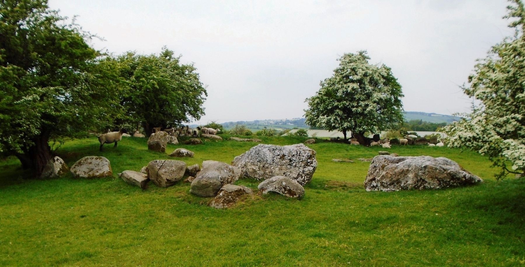
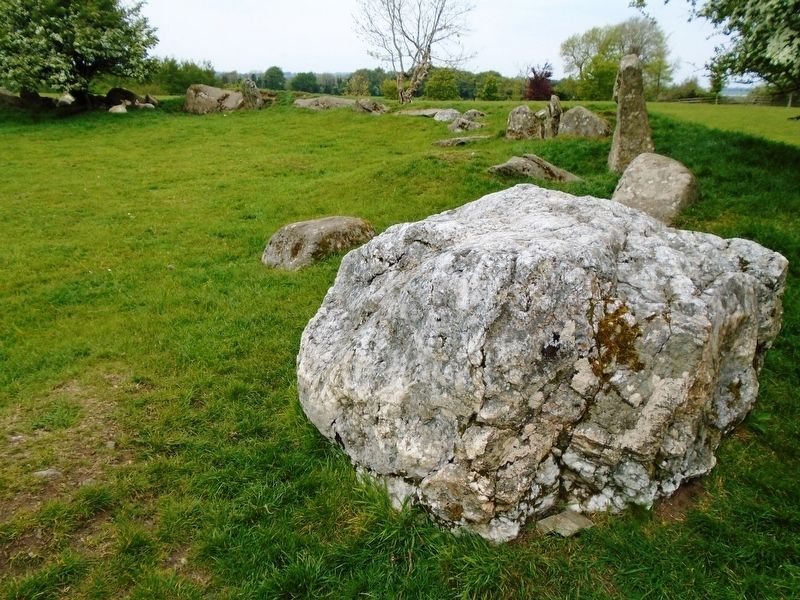
The site consists of an earthen bank, 30 metres in diameter, lined on the interior with 29 upright stones. The entrance, at the south east of the enclosure, is formed by two massive quartz boulders. The enclosure is surrounded by an outer ditch some 60 metres in diameter which is now only visible from the air.
Nearby is an earthwork castle or motte which was built by
Castleruddery—from Caisleán an Ridire (castle of the knight)
[Illustration captions, top to bottom, read]
• Artist's impression of a typical Motte and Bailey.
• Embanked Stone Circle.
Erected by Dúchas The Heritage Service.
Topics. This historical marker is listed in these topic lists: Anthropology & Archaeology • Forts and Castles • Man-Made Features.
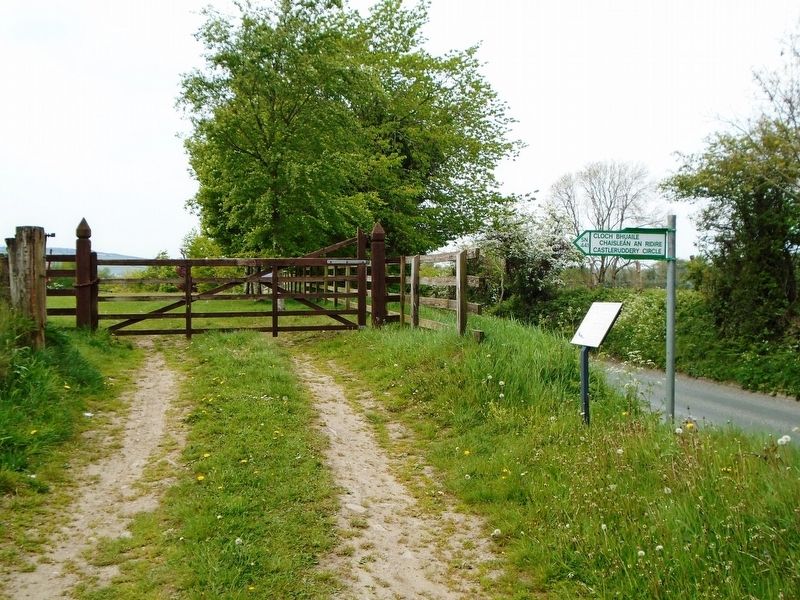
Location. 52° 59.499′ N, 6° 38.155′ W. Marker is in Castleruddery Upper, Leinster, in County Wicklow. Marker is on Local Route L4321, 1.2 kilometers east of National Route N81, on the right when traveling east. Touch for map. Touch for directions.
Other nearby markers. At least 8 other markers are within 13 kilometers of this marker, measured as the crow flies. Mainistir Bhealach Conglais / Baltinglass Abbey (approx. 7.3 kilometers away); Michael Dwyer, Sam MacAllister, and the Insurrectionists
Also see . . .
1. Castleruddery Stone Circle. (Submitted on June 28, 2019, by William Fischer, Jr. of Scranton, Pennsylvania.)
2. Castleruddery Stone Circle. (Submitted on June 28, 2019, by William Fischer, Jr. of Scranton, Pennsylvania.)
Credits. This page was last revised on June 28, 2019. It was originally submitted on June 28, 2019, by William Fischer, Jr. of Scranton, Pennsylvania. This page has been viewed 116 times since then and 6 times this year. Photos: 1, 2, 3, 4. submitted on June 28, 2019, by William Fischer, Jr. of Scranton, Pennsylvania.


