Winston-Salem in Forsyth County, North Carolina — The American South (South Atlantic)
Silver Hill
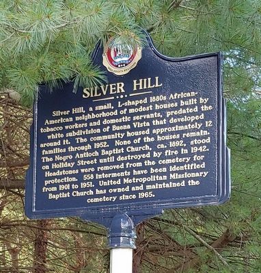
Photographed by Michael C. Wilcox, June 27, 2019
1. Silver Hill Marker
Erected 2018 by City of Winston-Salem.
Topics. This historical marker is listed in these topic lists: African Americans • Cemeteries & Burial Sites • Religion & Religious Structures. A significant historical year for this entry is 1880.
Location. 36° 6.213′ N, 80° 16.257′ W. Marker is in Winston-Salem, North Carolina, in Forsyth County. It is on Holiday Street 0.1 miles north of Carolina Circle, on the left when traveling north. Touch for map. Marker is in this post office area: Winston Salem NC 27104, United States
this page online

Regionally, this marker is in North Carolina’s Piedmont and specifically in Piedmont Triad. It is also in the American South and specifically in the Upper South. Globally, it is in North America, the Western Hemisphere, the Western World, and the Anglosphere. Historically, it finds itself in what was once the territory of the Mississippian Culture, one of the original Thirteen Colonies, one of the Confederate States of America, and the Antebellum South.
Other nearby markers. At least 8 other markers are within walking distance of this marker: R. J. Reynolds High School and Auditorium (approx. 0.3 miles away); The Children's Home (approx. 0.4 miles away); Calvin H. Wiley School (approx. 0.4 miles away); Robert M. Hanes (approx. half a mile away); Daniel Boone Trail (approx. 0.6 miles away); Reynolda Park Neighborhood (approx. 0.8 miles away); Hotel Zinzendorf (approx. 0.8 miles away); Boston Cottage Co. (approx. 0.9 miles away). Touch for a list and map of all markers in Winston-Salem.
Also see . . . W-S Journal article. (Submitted on June 29, 2019, by Michael C. Wilcox of Winston-Salem, North Carolina.)
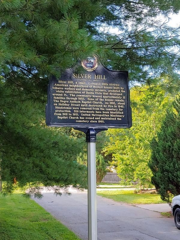
Photographed by Michael C. Wilcox, June 27, 2019
2. Silver Hill Marker
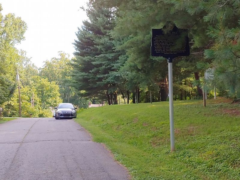
Photographed by Michael C. Wilcox, June 27, 2019
3. Silver Hill Marker
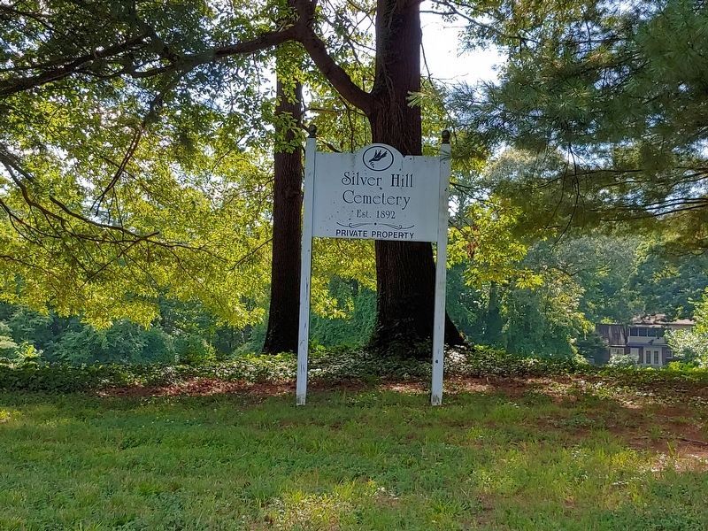
Photographed by Michael C. Wilcox, June 27, 2019
4. Silver Hill Cemetery sign
Photographed by Michael C. Wilcox, June 27, 2019
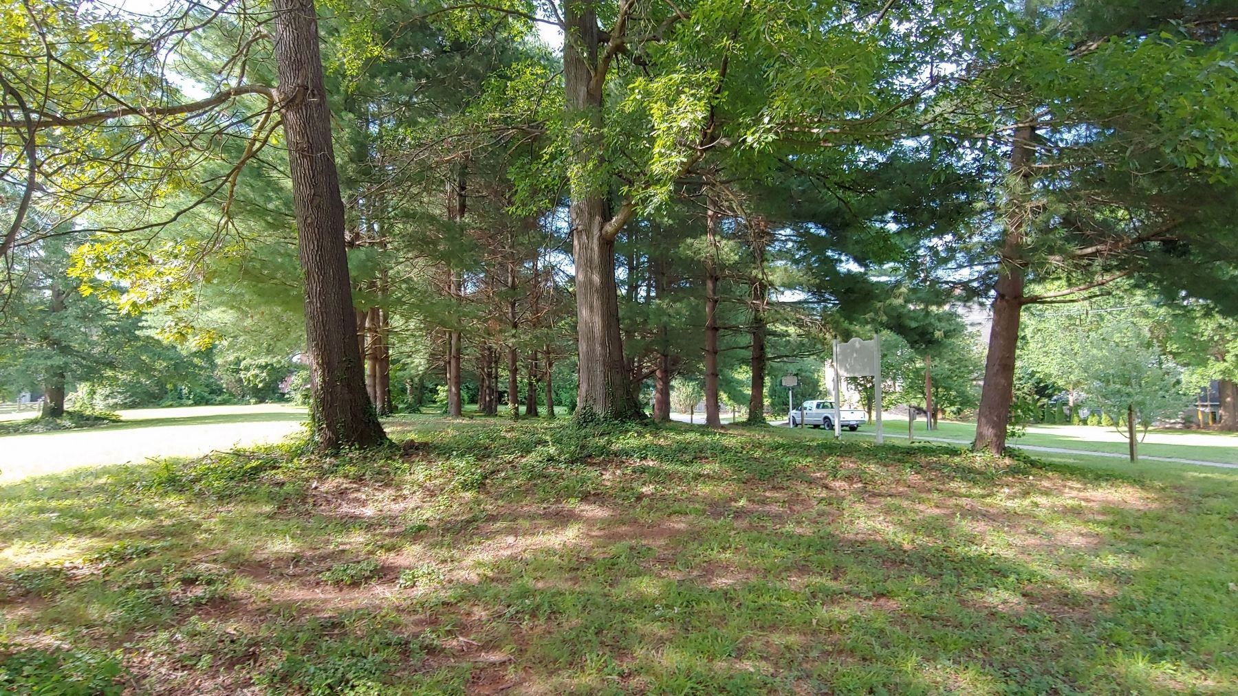
5. Silver Hill Cemetery & Marker
Credits. This page was last revised on March 23, 2021. It was originally submitted on June 29, 2019, by Michael C. Wilcox of Winston-Salem, North Carolina. This page has been viewed 1,802 times since then and 302 times this year. Photos: 1, 2, 3, 4, 5. submitted on June 29, 2019, by Michael C. Wilcox of Winston-Salem, North Carolina.
