Near Cumberland in Muskingum County, Ohio — The American Midwest (Great Lakes)
The Lett Settlement
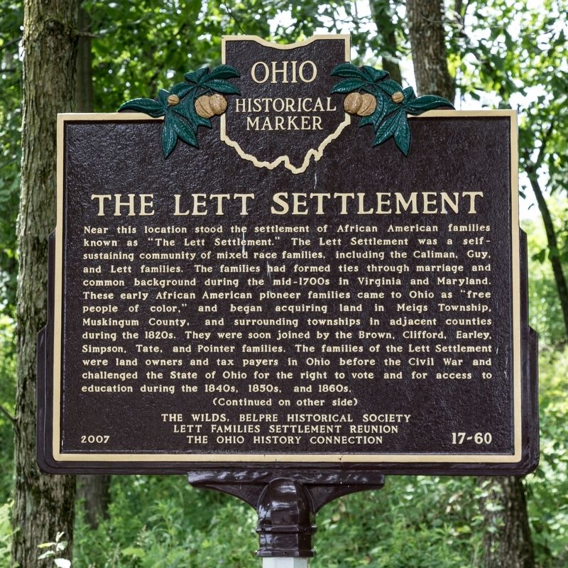
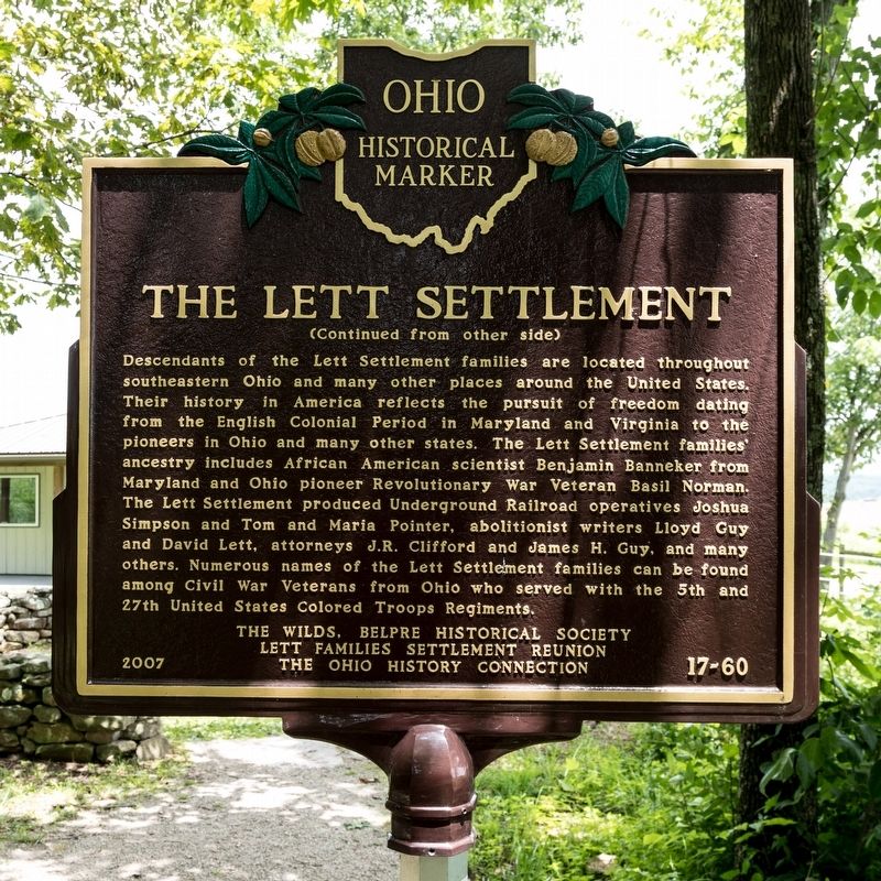
Descendants of the Lett Settlement families are located throughout southeastern Ohio and many other places around the United States. Their history in America reflects the pursuit of freedom dating from the English Colonial Period in Maryland and Virginia to the pioneers in Ohio and many other states. The Lett Settlement families ancestry includes African American scientist Benjamin Banneker from Maryland and Ohio pioneer Revolutionary War Veteran Basil Norman. The Lett Settlement produced Underground Railroad operatives Joshua Simpson and Tom and Maria Pointer, abolitionist writers Lloyd Guy and David Lett, attorneys J.R. Clifford and James H. Guy, and many others. Numerous names of the Lett Settlement families can be found among Civil War Veterans from Ohio who served with the 5th and 27th United States Colored Troops Regiments.
Erected 2007 by The Wilds, Belpre Historical Society, Lett Families Settlement Reunion, and The Ohio History Connection. (Marker Number 17-60.)
Topics and series. This historical marker is listed in these topic lists: Abolition & Underground RR • African Americans • Settlements & Settlers. In addition, it is included in the Ohio Historical Society / The Ohio History Connection series list.
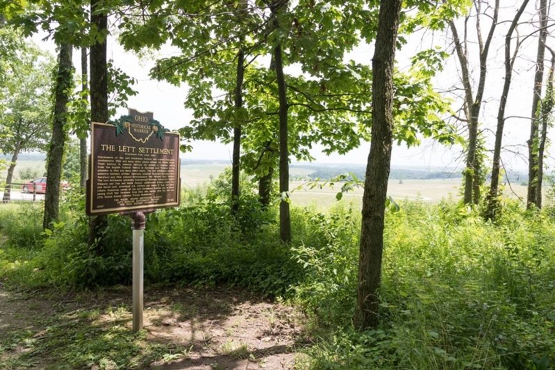
Location. 39° 49.849′ N, 81° 43.879′ W. Marker is near Cumberland, Ohio, in Muskingum County. Marker can be reached from International Road (Local Route 216) east of Big Muskie Drive (Ohio Route 284). Use I-70 exit No. 157 (Zanesville) if traveling from the west, or I-77 exit No. 37 (Pleasant City) if traveling from the east, north, or south. To reach the marker, park in The Wilds parking lot ($6 fee) and take the shuttle bus to the ticket window. While facing the ticket window, look over your right shoulder and you should see the marker through the trees in the thicket behind you on the right. Touch for map. Marker is at or near this postal address: 14000 International Rd, Cumberland OH 43732, United States of America. Touch for directions.
Other nearby markers. At least 8 other markers are within 10 miles of this marker, measured as the crow flies. Cumberland (approx. 4.3 miles away); U.S.S. Shenandoah (approx. 8.3 miles away); Crash of the USS Shenandoah / Lighter-Than-Air Flight (approx. 8.4 miles away); Miner's Memorial Park (approx. 9.1 miles away); Big Muskie (approx. 9.1 miles away); Ronald V. Crews Memorial Park (approx. 9.1 miles away); Lt. Michael J. Lutz (approx. 9.6 miles away); Wreckage Site Number 3 of the U.S. Navy Airship Shenandoah (approx. 9.6 miles away).
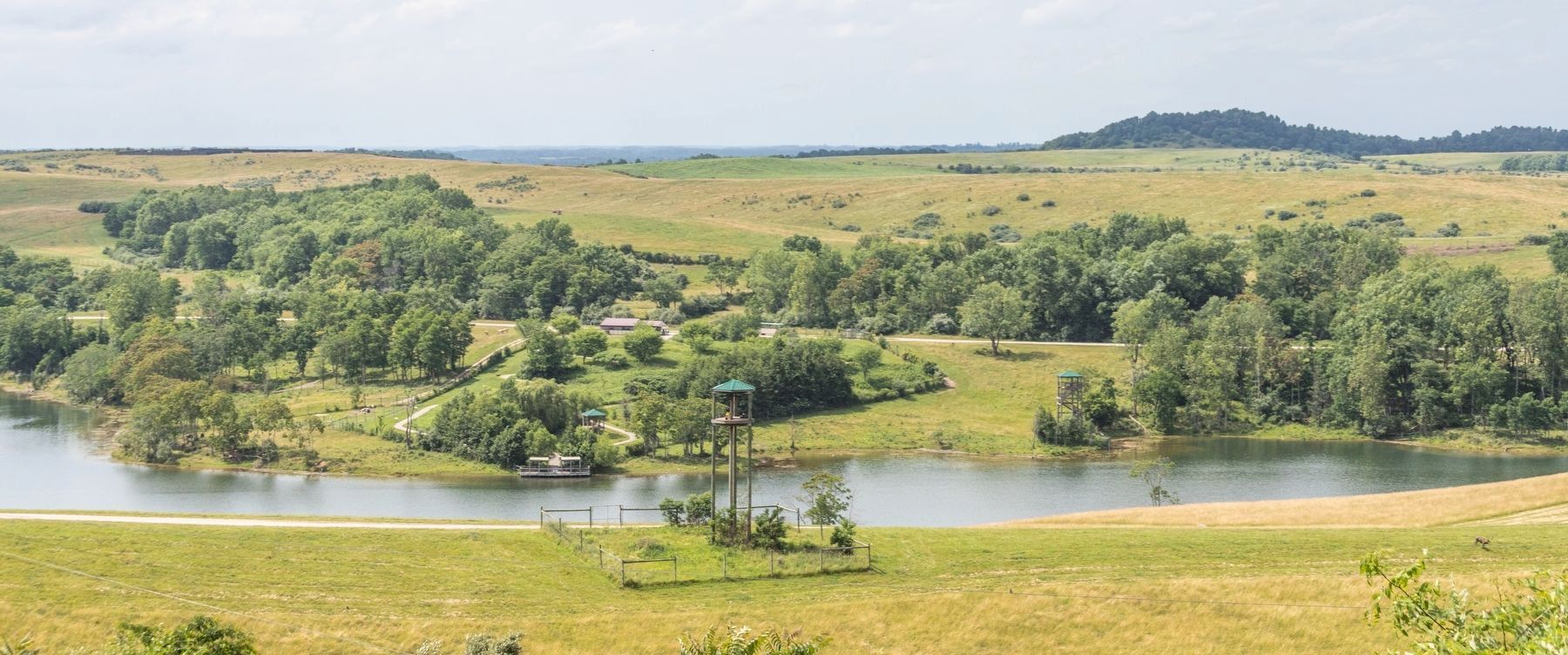
More about this marker. The marker is in The Wilds, a wild-animal conservation center located on 10,000 acres of reclaimed strip-mined land, now a grassy savanna with many lakes and ponds, populated with African and Asian animals. The 2½ hour open-air safari tour, not required to visit the historical marker, is well-worth its price.
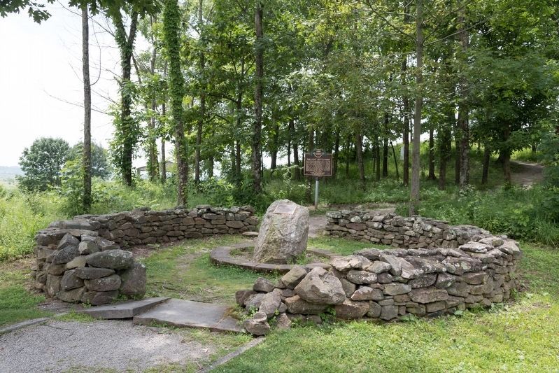
The original 2007 marker was originally erected nearby. It was replaced with this one, same title, number, and text.
Also see . . . Lett Settlement Web Site. (Submitted on June 29, 2019.)
Credits. This page was last revised on September 5, 2019. It was originally submitted on June 29, 2019, by J. J. Prats of Powell, Ohio. This page has been viewed 1,897 times since then and 231 times this year. Photos: 1, 2, 3, 4. submitted on June 29, 2019, by J. J. Prats of Powell, Ohio. 5. submitted on September 5, 2019, by J. J. Prats of Powell, Ohio.
