Roseville's First Hospital
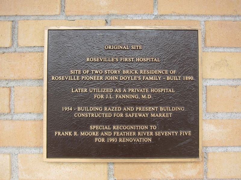
Original Site
Roseville's First Hospital
Site of two story brick residence of Roseville pioneer John Doyle's Family - built 1890.
Later utilized as a private hospital For J.L. Fanning, M.D.
1954- Building razed and present building constructed for Safeway Market
Special recognition to
Frank R. Moore and Feather River Seventy Five
for 1993 renovation
Topics. This historical marker is listed in this topic list: Science & Medicine. A significant historical year for this entry is 1890.
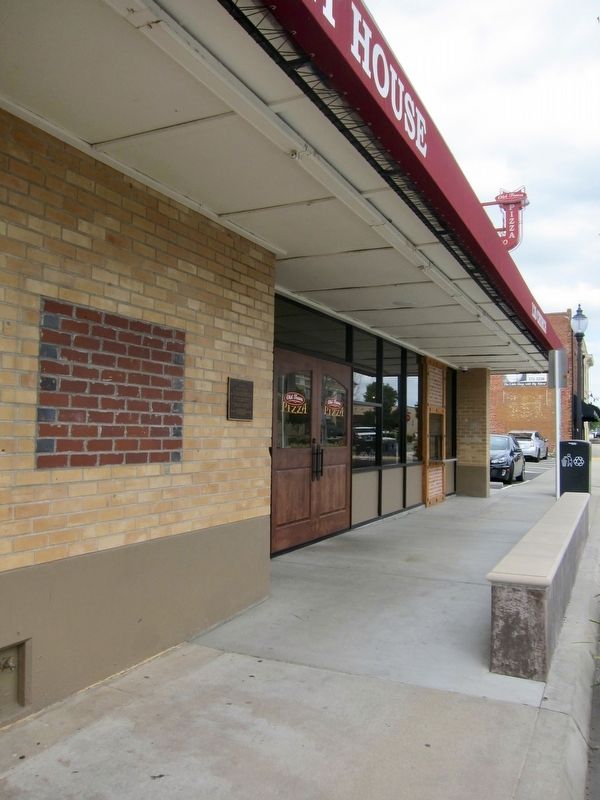
Location. 38° 45.082′ N, 121° 17.157′ W. Marker is in Roseville, California, in Placer County. It is on Church Street, on the left when traveling north. Touch for map. Marker is at or near this postal address: 120 Church Street, Roseville CA 95678, United States of America. Touch for directions.
Regionally, this marker is in California’s Sacramento Metro, in the Sierra Nevada, and in the Lake Tahoe Basin. It is also in the American Mountain West. Globally, it is in North America, on the Ring of Fire, in the Pacific Rim, in the Western Hemisphere, in the Western World, and in the Anglosphere. Historically,
this page online
Other nearby markers. At least 8 other markers are within walking distance of this marker: Roseville (within shouting distance of this marker); Roseville Tribune and Register Building (within shouting distance of this marker); The Owl Club Building (within shouting distance of this marker); Chicago West Building (within shouting distance of this marker); Bank of Italy Building (within shouting distance of this marker); Onyx Club (within shouting distance of this marker); McRae Building (about 300 feet away, measured in a direct line); The Roseville Methodist Church (about 300 feet away). Touch for a list and map of all markers in Roseville.
Credits. This page was last revised on June 29, 2019. It was originally submitted on June 29, 2019, by Andrew Ruppenstein of Lamorinda, California. This page has been viewed 1,291 times since then and 89 times this year. Photos: 1, 2. submitted on June 29, 2019, by Andrew Ruppenstein of Lamorinda, California.
