Washington Township near Monterey in Franklin County, Pennsylvania — The American Northeast (Mid-Atlantic)
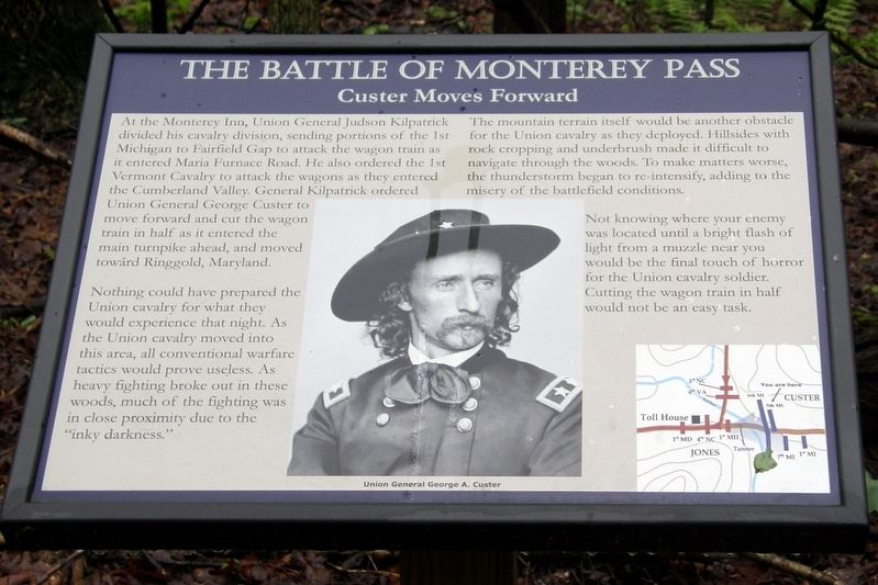
The Battle of Monterey Pass
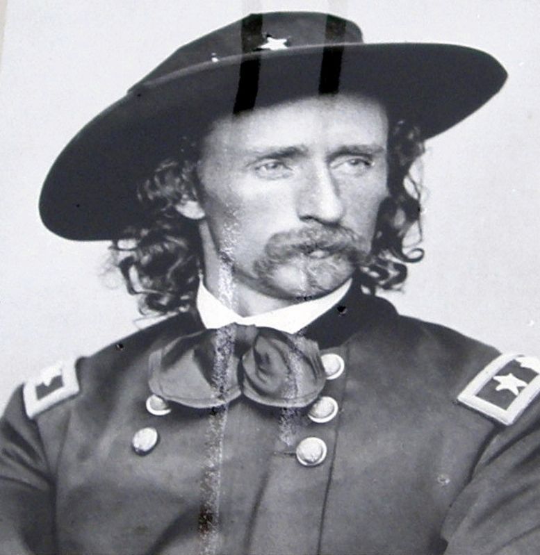
Custer Moves Forward
Nothing could have prepared the Union cavalry for what they would experience that night. As the Union cavalry moved into this area, all conventional warfare tactics would prove useless. As heavy fighting broke out in these woods, much of the fighting was in close proximity to the “inky darkness.”
The mountain terrain itself would be another obstacle for the Union cavalry as they deployed. Hillsides with rock cropping and underbrush mad it difficult to navigate through the woods. To make matters worse, the thunderstorm began to re-intensify, adding to the misery of the battlefield conditions.
Not knowing where your enemy was located until a bright flash of light from a muzzle near you would be the final touch of horror for the Union cavalry soldier. Cutting the wagon train in half would not be an easy task.
Topics. This historical marker is listed in this topic list: War, US Civil. A significant historical date for this entry is July 4, 1863.
Location. 39° 44.54′ N, 77° 28.446′ W. Marker is near Monterey, Pennsylvania , in Franklin County. It is in Washington Township. Marker can be reached from Charmian Road near Buchanan Trail East/Waynesboro Road, on the right when traveling west. Touch for map. Marker is at or near this postal address: 14617 Charmian Rd, Blue Ridge Summit PA 17214, United States of America. Touch for directions.
Other nearby markers. At least 8 other markers are within walking distance of this marker. A different marker also named The Battle of Monterey Pass (approx. ¼ mile away); The Maria Furnace Road (approx. 0.3 miles away); a different marker also named The Battle of Monterey Pass (approx. 0.3 miles away); a different marker also named The Battle of Monterey Pass (approx. 0.3 miles away); The Retreat From Gettysburg (approx. 0.3 miles away); a different marker also named The Battle of Monterey Pass (approx. 0.3 miles away); Before The Battle Of Gettysburg (approx. 0.4 miles away); 10,000 Soldiers Fight at Monterey Pass (approx. 0.4 miles away). Touch for a list and map of all markers in Monterey.
More about this marker. Chronologically, this marker is first of a series on the Billy Yank Road.
Credits. This page was last revised on February 7, 2023. It was originally submitted on June 30, 2019, by Larry Gertner of New York, New York. This page has been viewed 193 times since then and 10 times this year. Photos: 1, 2, 3, 4, 5. submitted on June 30, 2019, by Larry Gertner of New York, New York. • Andrew Ruppenstein was the editor who published this page.
