Lockport in Will County, Illinois — The American Midwest (Great Lakes)
Lock 1
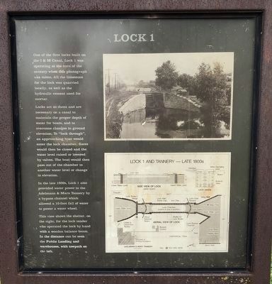
One of the first locks built on the I & M Canal, Lock 1 was operating at the turn of the century when this photograph was taken. All the limestone for the lock was quarried locally, as well as the hydraulic cement used for mortar.
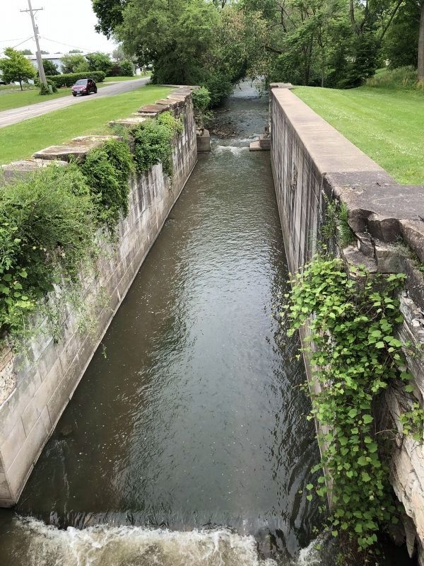
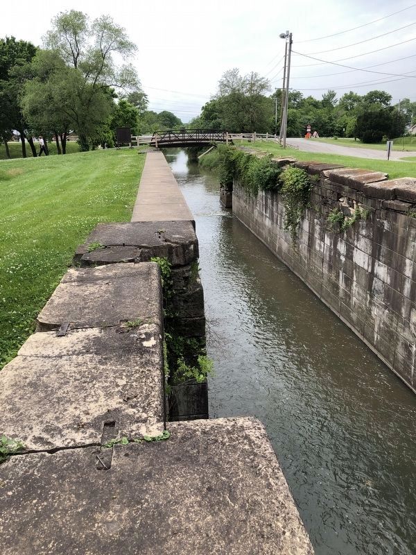
Locks act as dams and are necessary on a canal to maintain the proper depth of water for boats, and to overcome changes in ground elevation. To "lock through", an approaching boat would enter the lock chamber. Gates would then be closed and the water level raised or lowered by valves. The boat would then pass out of the chamber to another water level or change in elevation.
In the late 1800s, Lock also provided water power for the Adelmann & Marx Tannery by a bypass channel which allowed a 10-foot fall of water to power a water wheel.
This view shows the shelter, on the right, for the lock tender who operated the lock by hand with a wooden balance beam. In the distance can be seen the Public Landing and warehouses, with towpath on the left.
Topics. This historical marker is listed in this topic list: Waterways & Vessels.
Location. 41° 34.973′ N, 88° 3.728′ W. Marker is in Lockport, Illinois, in Will County. Marker is on Division Street near Canal Street, on the left when traveling east . Touch for map. Marker is at or near this postal address: 1573 Canal Street, Lockport IL 60441, United States of America. Touch for directions.
Other nearby markers. At least 8 other markers are within walking distance of this marker. The Lockport Station (approx. 0.2 miles away); The Hydraulic Basin (approx. ¼ mile away); The Norton Building (approx. 0.4 miles away); Historic Lockport (approx. 0.4 miles away); Old Congregational Church (approx. half a mile away); War Memorial (approx. 0.6 miles away); Illinois & Michigan Canal Office (approx. 0.6 miles away); Lockport City Hall (approx. 0.6 miles away). Touch for a list and map of all markers in Lockport.
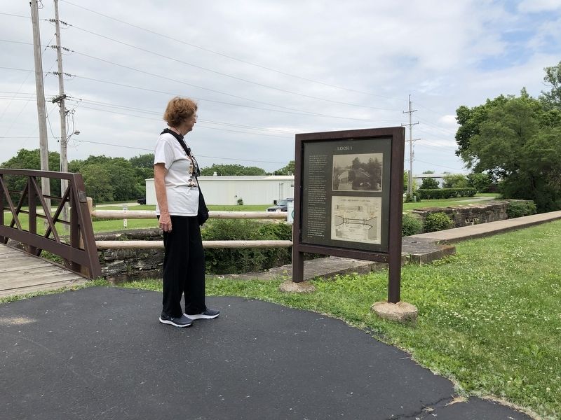
More about this marker. The marker is located on the Illinois & Michigan Canal Trail, aka Gaylord Donnely Trail. The street names are only a general reference.
Credits. This page was last revised on August 27, 2020. It was originally submitted on June 30, 2019, by Barry Swackhamer of Brentwood, California. This page has been viewed 258 times since then and 37 times this year. Photos: 1, 2, 3, 4. submitted on June 30, 2019, by Barry Swackhamer of Brentwood, California.


